Beob Pass
4030 Meters
1B difficult rating
Connects: Zarafshon Valley (Pakshif/Ghorif) to Rasht Valley (town of Navobod)
How long? (Pakshif to Navobod): 4 full days and 3 nights of camping for me. 3 full days for an athlete who trains all year and goes with ultralight gear. 5-6 for most hikers or those who want a leisurely experience.
GPS Track: This route is now part of the Pamir Trail. GPX file available at their website.
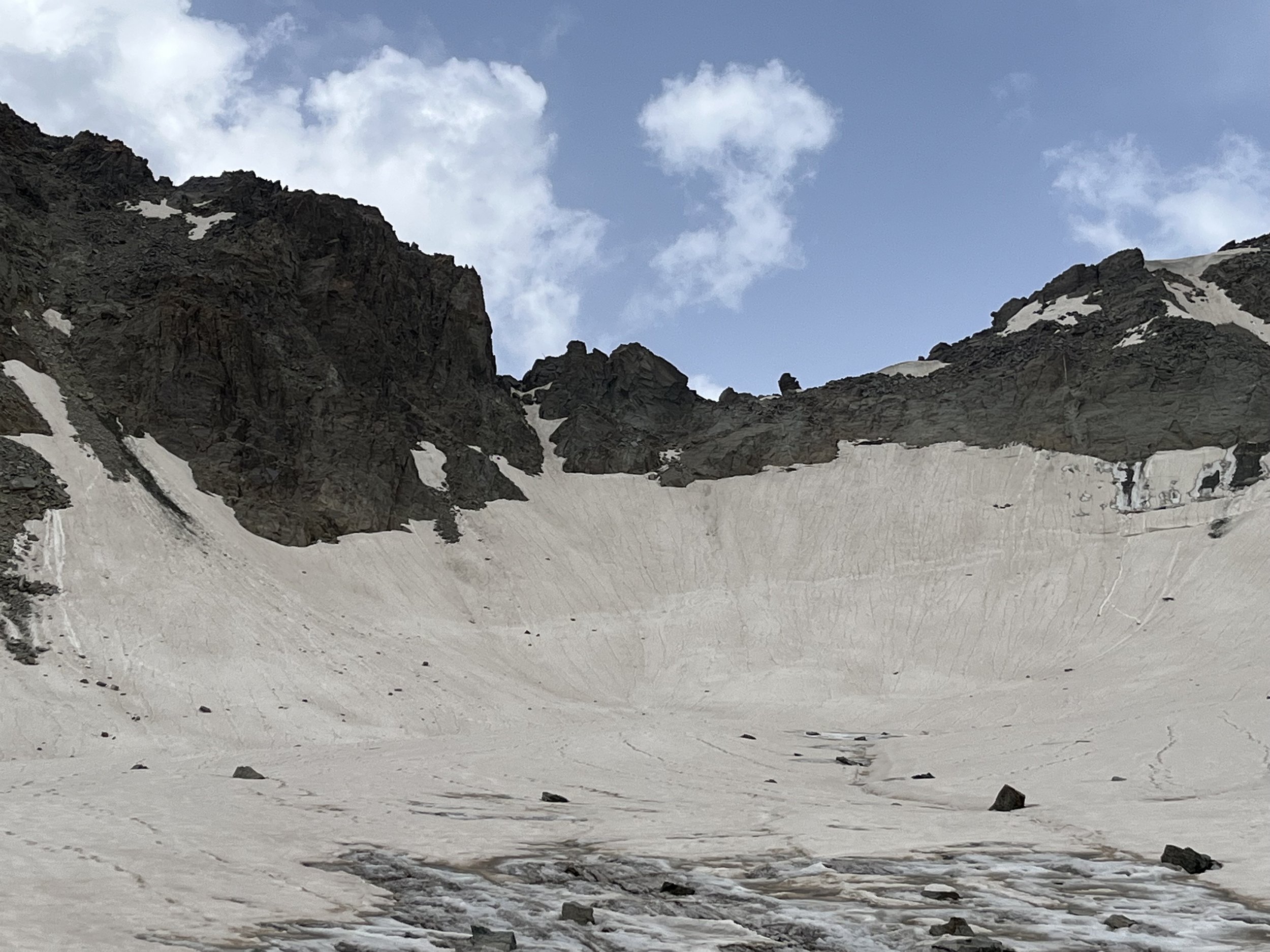
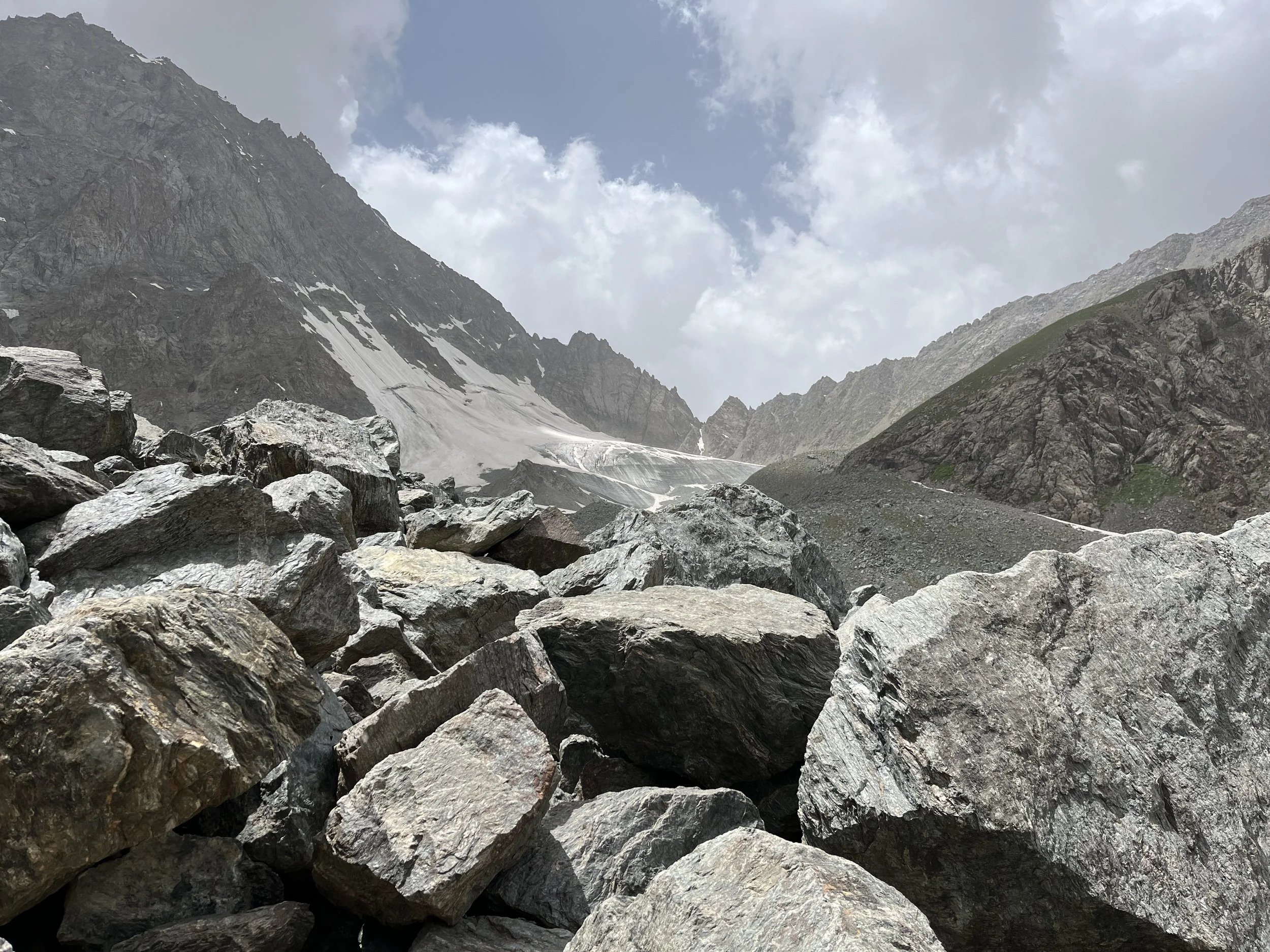
I passed north-to-south through Beob Pass on July 21, 2023. The pass involves a short scramble up some rock on the north side (see photo above) and some glacier travel. There is far more to consider for this route than just Beob Pass, so I will provide a lengthy description below.
I will start my report in the village of Ghorif (after arriving via Pakshif-Ghorif pass, which is easy). There is a guesthouse in the village (4-5 households). It is not, however, a tourist guesthouse. It is a guesthouse that serves the shepherds, and more usually their supply caravans - plus the occasional local visitor (who is usually a person from elsewhere in Tajikistan who has relatives in Pakshif and/or Ghorif, but also later in fall or early winter it hosts hunters from the Rasht Valley side). But to be very clear: you as a tourist are welcome here. The head of the village recited every foreign guest they have had in their village since 1992. It is a short list (Russians, Ukrainians, Czechs, Americans, French, etc.).
If you stay the night they will serve you tea, bread and a simple meal (dinner but no breakfast). They will refuse payment. I suggest bringing souvenirs (flag patches are light and not bulky, for example). But perhaps this will change if the Pamir Trail actually become popular. Then tourists should start paying (but first someone will have to build a relationship with them, and then explain that they really should start taking payment and that foreign tourists expect it). The guest house has one electrical outlet powered by the village’s micro-hydro power generator (the outlet is above head height). Please give the shepherds priority for charging their phones and batteries. You should be fully charged after the Zarafshon Valley. The village will speak Tajik, with a couple of Russian speakers. I spent the night in the guesthouse with a shepherd camp supply caravaneer.
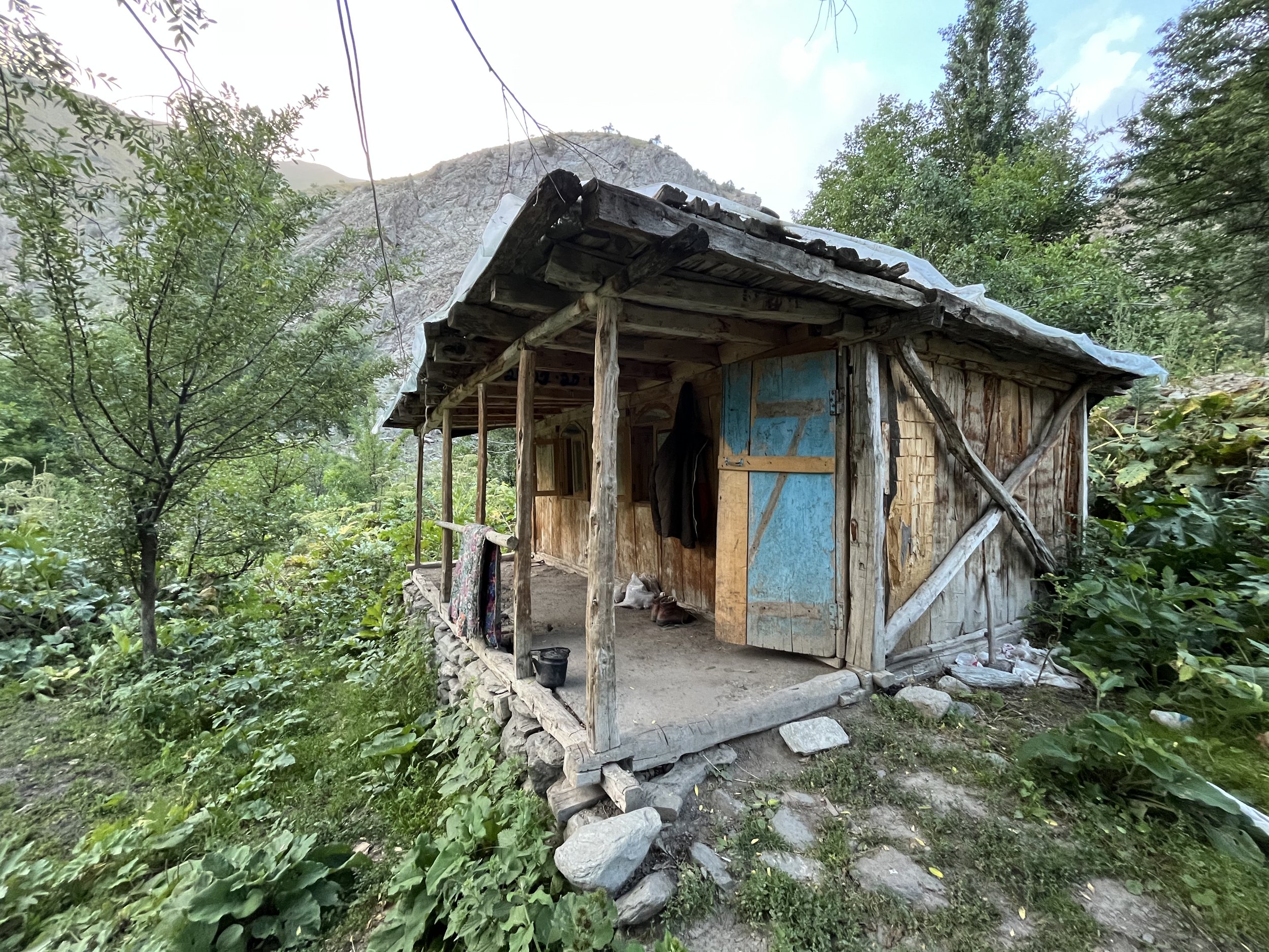
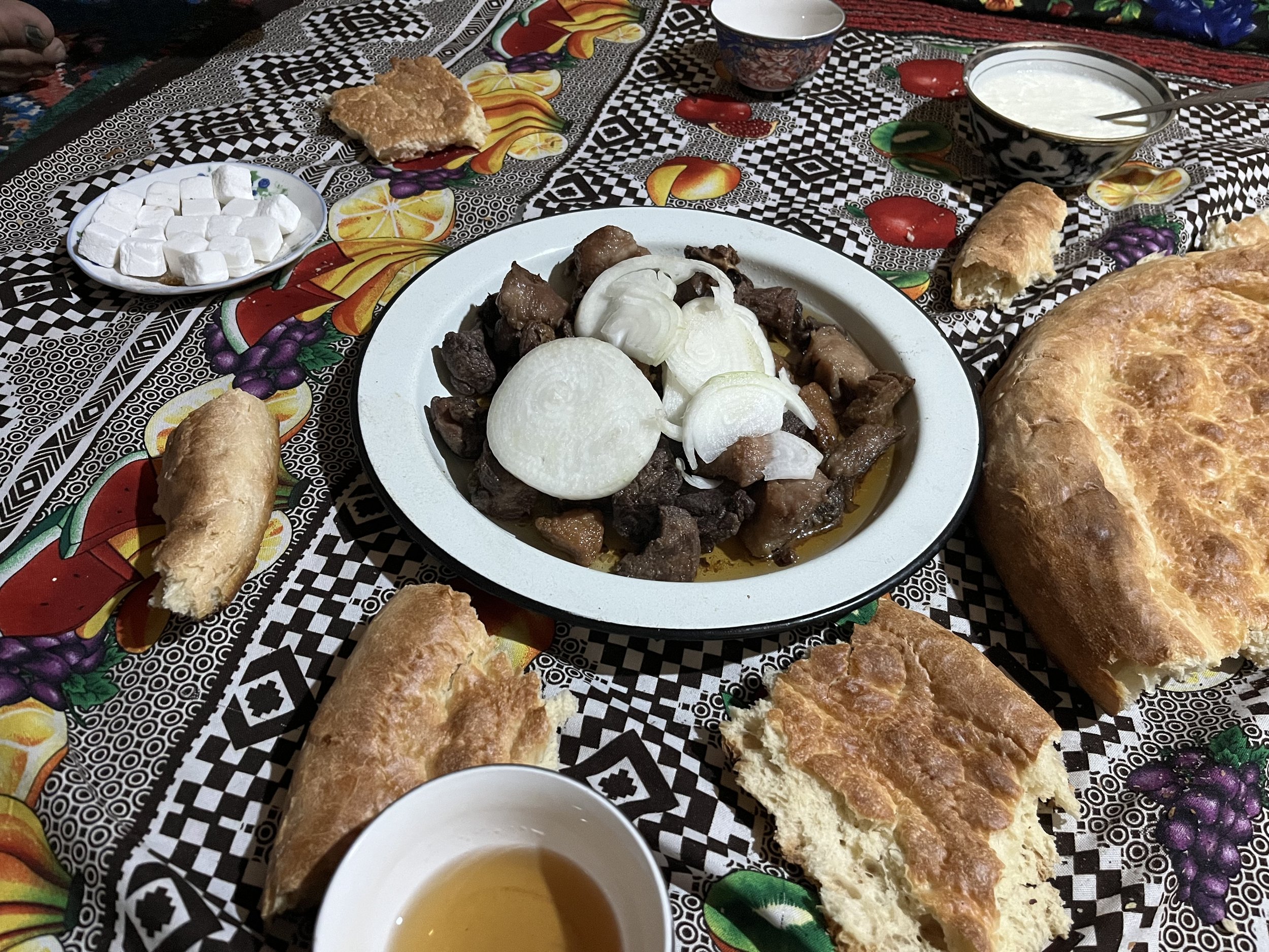
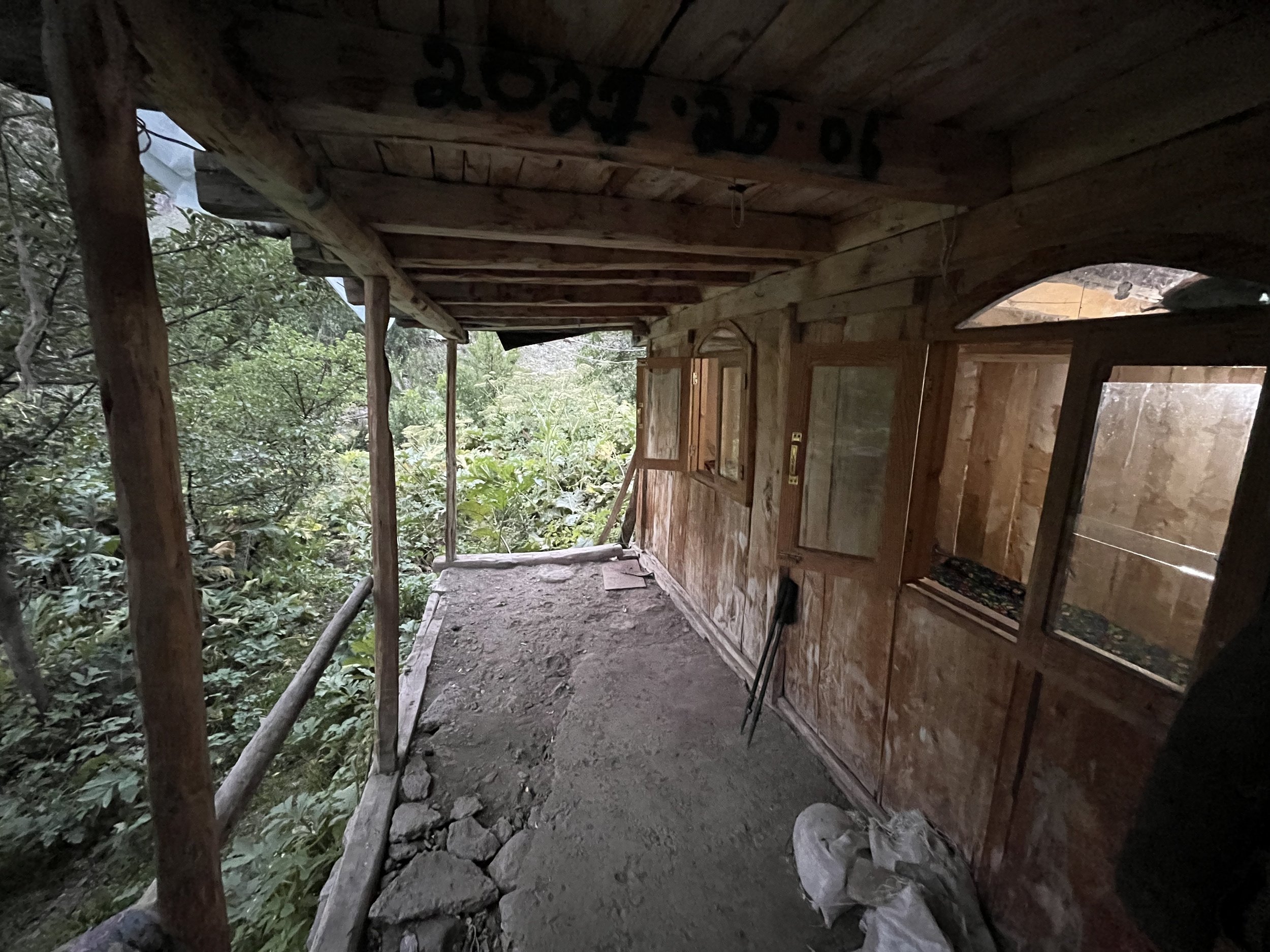
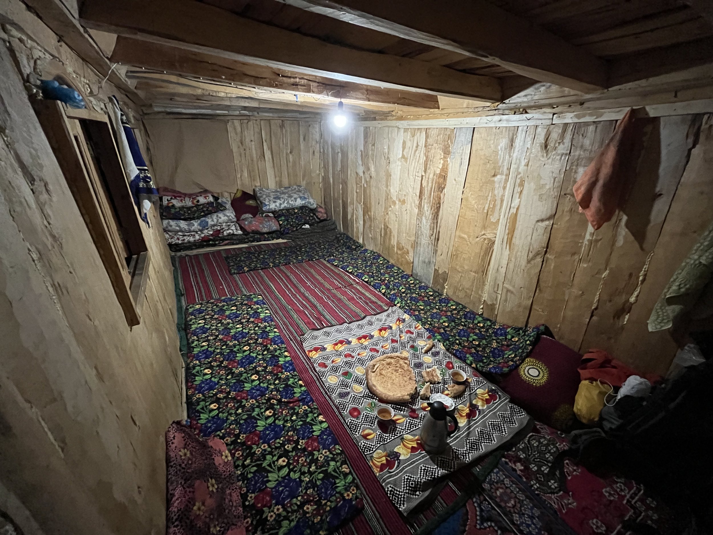
The head of the village discussed Beob Pass with me, noting that the last group to go through Beob Pass was in the 1970s (high school teachers and a group of their students). The previous year in Langar the guesthouse owner (Ustod/Professor Fayzullo) showed me a book written by one of the teachers that included an account of their trip. But it contained no useful technical information on the pass. The head of Beob village informed me of the bridges’ status, as several have been destroyed over the years (some rebuilt, some abandoned - none of that reflected in out of date satellite imagery online). The most recent destruction was in 2019.
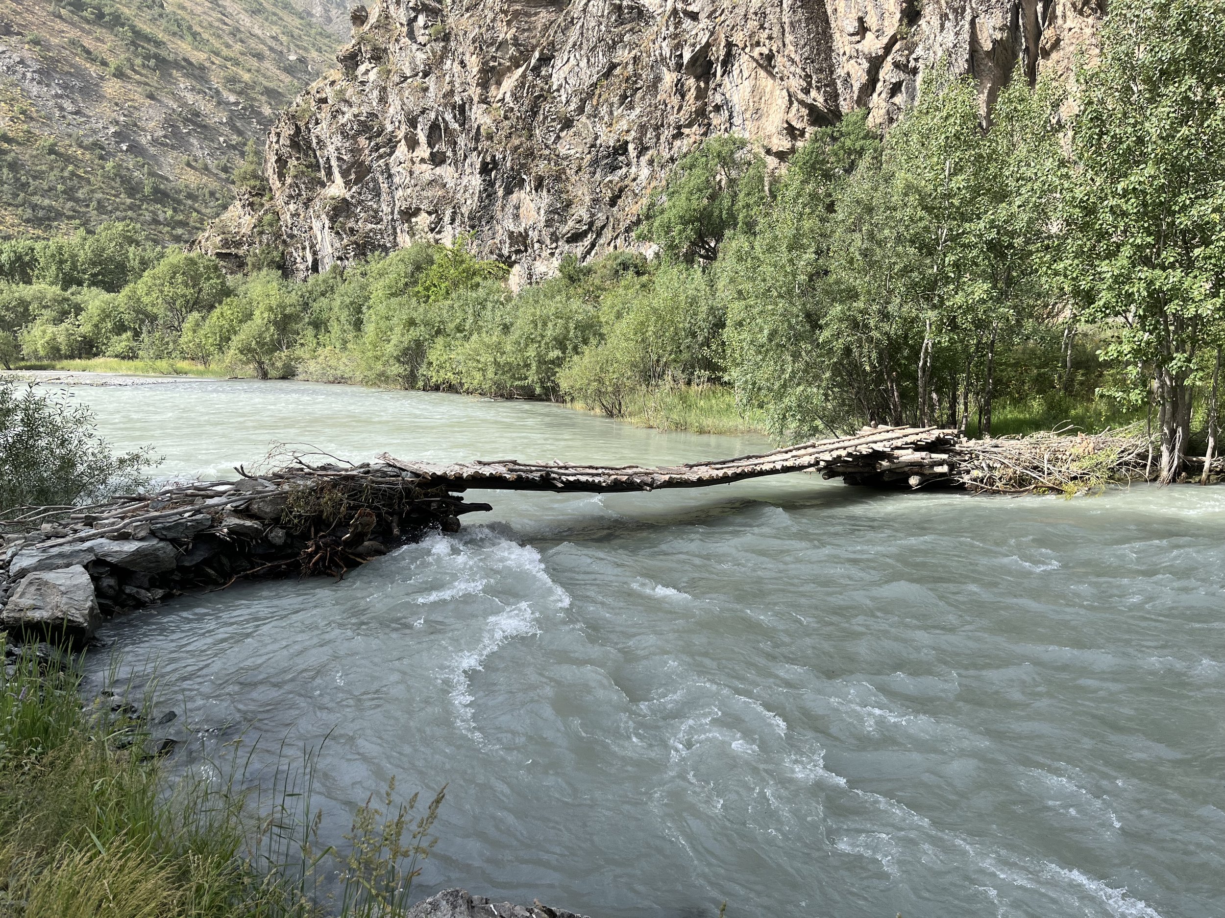
After Ghorif you will need to walk over three bridges - a small bridge that crosses a stream right after Ghorif, the bridge known as “Puli Mirzo“ (Mirzo’s Bridge) at the cemetery called Mazori Shahidho (“Martyrs’ Cemetery”), and a smaller one over the Namnarud River. All three are fairly new replacement bridges. The supply caravans for the shepherds use and maintain these bridges, meaning that the bridges have to be up to ‘donkey standard.‘ If a donkey can cross, so can you.
If the Puli Mirzo bridge is destroyed, you will have to go back to Ghorif, and then even farther upstream to the bridge that crosses the Darai Susof River, and then up and over the Bodravak Pass. From there, make your way down to the abandoned village of Namnarud.
The trail between Ghorif and Puli Mirzo gets more faint as you go downriver. The brush and weeds will also get thicker, with parts of the trail being eroded. Note that I did see the stinging yughan plant on this section of trail. So no shorts or t-shirts. The trail on the map appears to be level, but in reality there are many ups and downs (just not big enough to show up across the topographical/elevation lines).
1.75km from Ghorif the trail splits. A very clear trail goes up to the left and a faint trail goes right straight ahead. You need to take the faint trail to the right. The clear trail is for cows to access a grazing area uphill. This area used to be a vast orchard before the communist genocide, and there are still wild remnants bearing fruit (apples, berries, yellow Hawthorn, etc.) This will equal bears.
For water, I suggest stocking up on water before you get to Ghorif. If you forget, there is a weak spring right after the trail splits. I’m not sure if this spring will still have water in late summer. The next opportunity will be at the Obi Khilf stream. The water was clear and easy to filter when I was there. The main river was too silty to drink or filter when I was there. It clears up in fall after the temperatures drop.
Do not camp at or near the Mazori Shahidho cemetery. Nor should you go to the toilet next to the cemetery. The graves are very faint and hard to see, so don’t go exploring in this area (you will be walking on graves). Note that the forest and wetland area around Puli Mirzo and the cemetery are one of the few places in Tajikistan’s mountains that are friendly to mosquitoes. They were on me as soon as I entered the forest/wetland areas.
From the cemetery you will go a few hundred meters up the Namnarud River before coming to the next bridge. After this the trail alternates between clear, faint, and sometimes open grazing areas with no sign of any trail. But it’s not possible to get lost. Just keep going upriver. In this area I saw more stinging yughan plants as well as bear scat. The sheep are all at higher elevation above you here (in an area known as Kuhi Sulton).
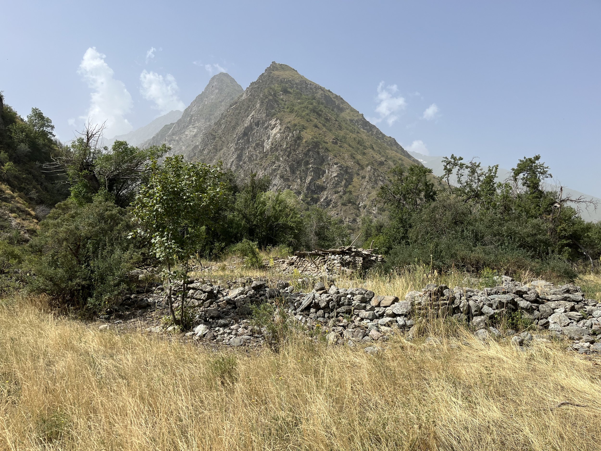
Namnarud village was abandoned after the genocide. Exiles returned in small numbers to Ghorif, but not to any of the other villages in this area. The area is full of old destroyed houses, abandoned fields and irrigation systems. There are some old fruit and walnut trees. So expect bears to be here. I also saw ground dug up. I can’t tell if it was from bears, wild boars or marmots.
Can you camp in Namnarud? Yes, the shepherds camp here short term when switching grazing areas. Counterintuitively, in some areas of Tajikistan they think nothing of camping in destroyed villages. I err on the side of caution and only camp in these areas when locals suggest I do so, or if there is an obvious camp in the old village. But in late summer to early fall (and maybe even in mid-summer) expect to share the village with bears.
As you leave Namnarud and head up the Beob gorge, what trail there is quickly fades or turns into multiple grazing tracks. This area was overgrown in late July, but it may get cleared up a bit when sheep visit later in the season. As you get farther up the gorge, you have a choice of which side you will travel up. Neither are great choices. For me it was to continue on the right bank (very steep and slippery) or cross the snow bridge at 2150 meters to the left bank on the west side of the river (steep and very overgrown with thick and tall vegetation). In the later season the snow bridge melts and collapses. If the river is not crossable at this time, then you will have no choice but to remain in the same side. I chose to cross the snow bridge and wade through the very tall vegetation. After a steep ascent up a wet hillside, the terrain evens out and there were no more steep sections. There is no sign of a trail here in the early to mid season. It is open terrain. You can pick your own route.
I did see some of the stinging yughan plant, but my main problem was the weeds that were as tall or taller than me. Some of them whacked me in the face or rubbed against my neck. I soon had itchy skin and was sneezing. I should have put on my neck gaiter to protect my skin and maybe even have taken a preventative Claritin (loratadine) anti-allergy pill.
At 2175 meters there is an excellent spring with good-tasting water. At 2235 meters I left the high weeds and vegetation and walked on the rocks next to the river. At 2375 meters I crossed the snow bridge. Later in the season the bridge shrinks and partially collapses, so you will need to cross at about 2420 meters.
At 2520 meters there is a qutan (temporary shepherd camp). The area was heavily overgrown with grass, weeds and other vegetation. It seems that the shepherds and their flock visit here later in the season, sometime in August or September. But since I met no shepherds, I cannot confirm that there is a such a predictable schedule. The qutan is full of small corrals and rock walls. I found a good flat spot surrounded by rocks walls where I could camp. After the sheep visit, this area won’t be that good for camping due to the fresh manure. Note that there are no good camping spots after the 2520 meter qutan until 3715 meters.
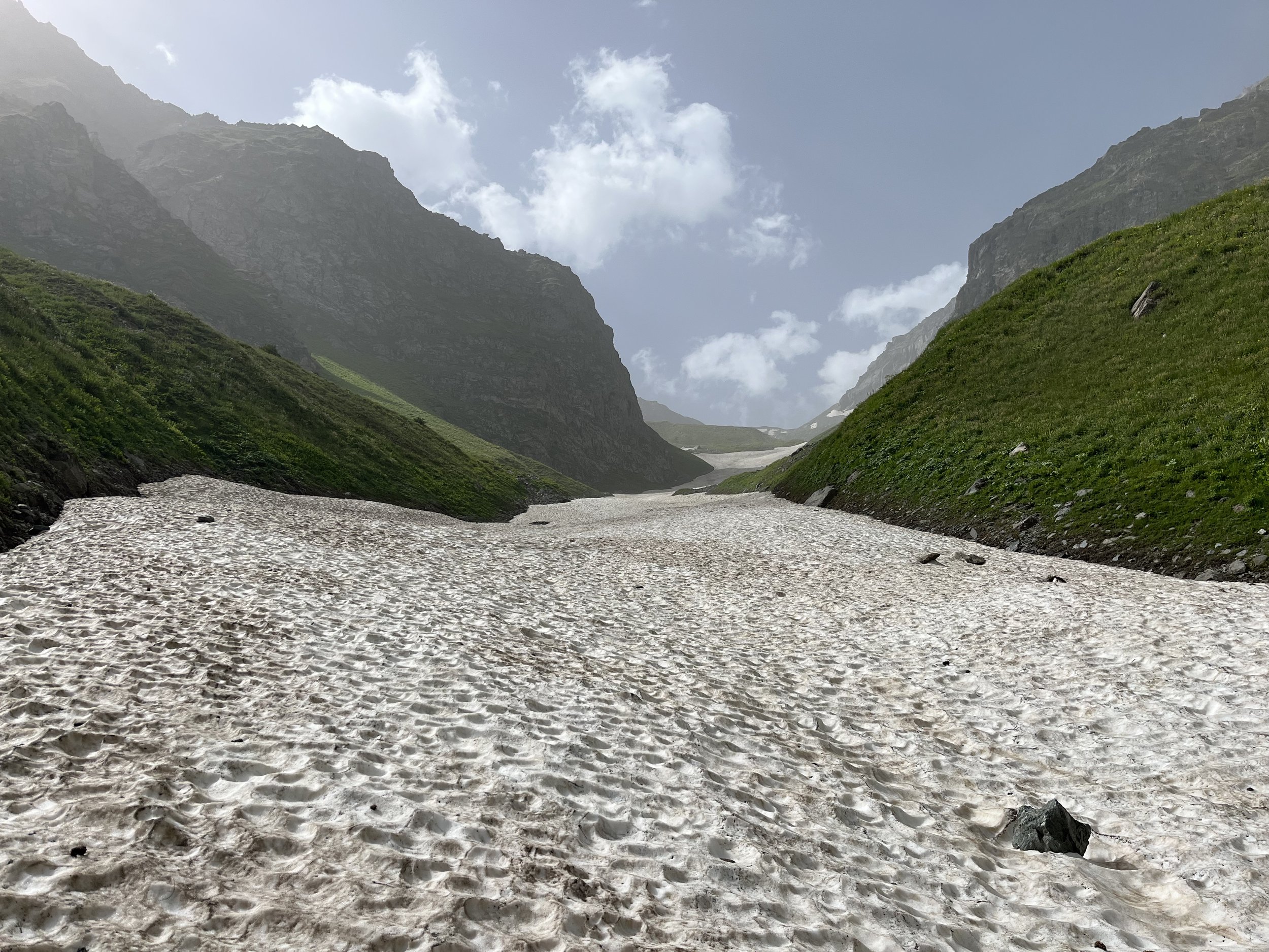
The next day after leaving the qutan camp I soon had a choice of travelling on a long snow bridge or a sidehill. I chose the much faster snow bridge. At no point did I use my crampons or ice axe. But in some areas it did get a little steep. In later summer or fall you may want to stick to the sidehill if the snow bridge looks unsafe or has shrunk too much.
At 3010 meters I briefly left the snow bridge to fill up on water at a spring. There are also multiple springs higher up. I left the snow bridge for good at 3150 meters. This area (no longer Beob but rather “Galakhana”) has some faint sheep grazing tracks but no trail or single route you should take. You can pick your own route here. Of note is that there are no more tall weeds to wade through any more. At 3320 meters the rockier terrain starts, and you are now on the remains of an old moraine. At 3330 meters the large boulders start. None are a serious obstacle.
At 3560 meters there is a nice big boulder that can serve as a shelter (but not to a strong northerly wind) and as a nice place to sit on top and have a break/snack. At 3615 meters the large boulders end.
At 3715 meters next to the Galakhana stream there is a flat area where you can camp. But if you camped at the qutan below the previous night you will be here far too early in the day to camp for the night. At 3850 meters you will have your first full view of the pass and the approach to the pass.
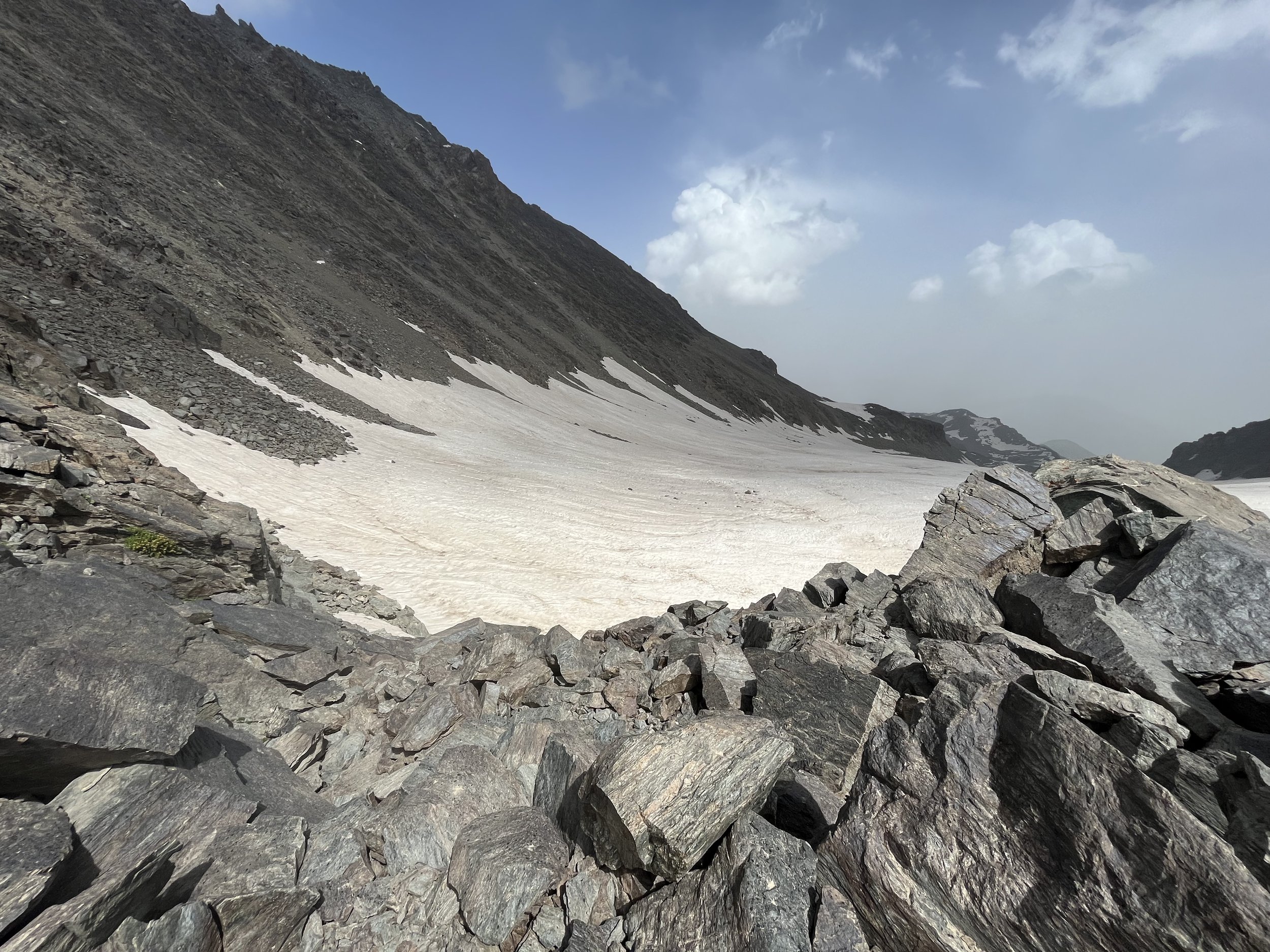
There were maximum 4-inch wide cracks on the lower part of the Galakhana Glacier on July 21, and farther up the glacier a layer of winter snow still covered the glacier. A direct approach may put you over a crevasse at any time of the year. The glacier on the north side should be avoided for as long as you can.
A report from late August or September would be very helpful (e.g., how wide do the cracks/crevasses get? How far does the bergschrund that is open on the west side of the pass expand to the east?). For now, a swing to the east around the lower part of the glacier is the best route (see the route on Open Street Maps). The final approach on the glacier before it transitions to a scramble on rocks is steep, but with a gentle run-out if you fall. I used crampons and carried an ice axe (I didn’t need the ice axe; it was only in my hands if I need to self arrest a fall). I feel that I could have done this route without crampons - but far more slowly and while having to kick in steps with my boots. I would still carry an ice axe.
There is a small rockfall hazard that you will see coming off the mountain to the east of the pass. The rocks were either very small or they did not make it far down the snowy slope. A few larger rocks were scattered around near where you will walk, but they were few in number (and may have slowly made their way down the slope, not fallen at high speed).
I estimate the short scramble to be a 3.1 in the US (Yosemite Decimal System) scale. For a description of the Yosemite Decimal System scale, read this PDF. If you want to compare to the UK rating system, read this article.
So is the northern approach to Beob Pass safe or not? It was safe when I was there. But conditions may be different on the glacier later in the year. So numerous accounts from different times would be needed before anything can be said with certainty.
The south side of the pass seems quite safe. There is a short walk/scramble through some boulder then a walk down a very gently sloping glacier.
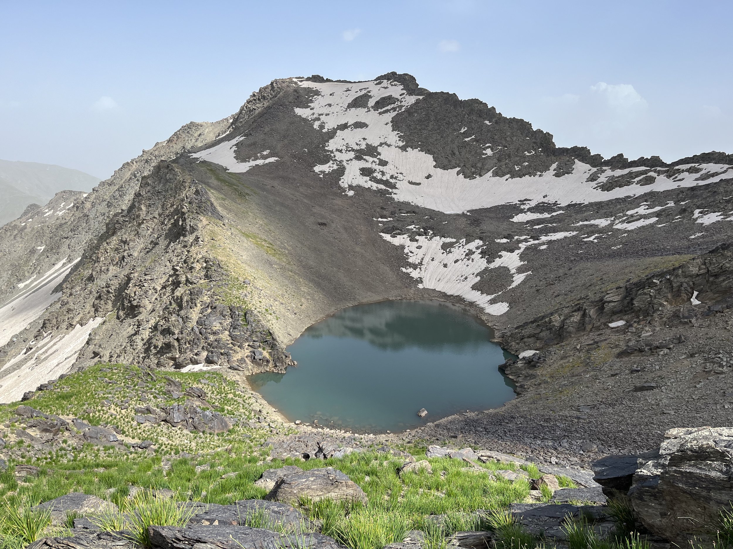
The walk down the glacier was uneventful (whether that changes later in the year, I don’t know). The walk after the glacier is at first rocky, and then eventually you are back on a mixed vegetation and gravel slope. There is a nice viewpoint to see the intermittent lake at 3680 meters (name unknown) and a spot to camp nearby.
But as I didn’t trust the weather, I left this area as it is exposed in an open saddle. I descended to the 3475 meter camp. This area is grassy with some flat sections and numerous marmot dens. There is a good spring nearby. I’m not sure if this spring has water through the late summer and fall.
At dusk I had a bear come up to my tent and was sniffing around. He/she fled when I said hello.
The next morning I walked laterally across the snowfield that you can see in the bear video above. If you are here later in the year, this snowfield is much smaller and you may be walking on rock only. After travelling laterally (with some up and down) I scrambled up the slope, starting at 3430 meters, to a pass at 3590 meters. The scramble is about a 3.0 in the Yosemite Decimal System. A few times I had to throw my trekking poles up to the next level and use both hands to pull myself up. Note: at 3535 meters there is a large boulder that can offer almost full shelter underneath (except against a strong northerly wind).
After the 3590 meter pass you are in a grazing area. When I was there the shepherds had already left this area (a long ridge top). I think this is due to the lack of water, which is relevant to you also. Once you leave the 3475 meter camp you will have no water until 1600 meters.
As you descend down the ridge top you will cross numerous qutans (temporary shepherd camps) that were used earlier in the season. I met a boy coming up the ridge with supplies for one of the shepherd camps in the gorge to the west. I also met a few horses (they are left to graze on their own all summer).
At about 3070 meters the trail gets much steeper (with a loose gravel/dirt surface) with some yughan vegetation. At 2660 meters the trail drops down from the ridge and through an area with many grazing tracks. There is not much in the way of a single clear trail here. At 2260 meters the trail starts to improve. By 2120 meters the trail is clear again. The trail then again becomes vague before you join the main trail at the bottom of the gorge.
The small river that joins the Darai Mazor River at 1600 meters is a good place to get water. It was clear both times I have been in this spot, but note that you will need to filter it as there are several shepherd camps upstream.
It is worth noting that even though I was going downhill, by about 2600 meters I was getting hot. This area was setting heat records the previous day, with Navobod (1300 meters) and Gharm (1400 meters) allegedly getting as high as 40 degrees Celsius. So from 1600 meters I was regularly taking breaks by the riverside, dumping water over my head and soaking my feet in the river. I don’t think that during this record heat wave you could do the hike in reverse, especially the steep ascent from 1600 to 3100. I met a shepherd supply caravaneer coming up the ridge, but he likely would have started at 5:00am, and the donkeys were carrying everything (including him).
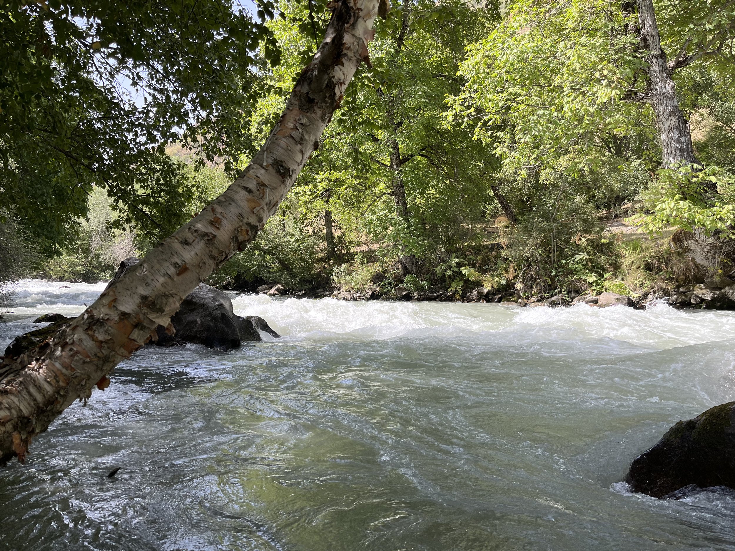
For the trip down the Sangikar River, I suggest sticking to the dirt road on the right bank (west side). I tried exploring the trails on the opposite side, but I found myself in very high weeds and unpleasant brush that had overgrown the trail in some areas. Plus, eventually cliffs will block your way, forcing you back across the other side onto the road.
In the town of Navobod you have good resupply options at several grocery stores.
Taxi costs from Navobod (2023 prices): Dushanbe - 120 Somoni for a seat in a shared car (early morning only), Gharm - 20 Somoni for one seat. From Gharm to Dushanbe the local price is 100 Somoni.
I made a video of my trip (below, or open in a new window).
0:00 to 2:36 - Zarafshon Valley and side gorges
2:37 to 3:44 - Pakshif Gorge
3:45 to 4:26 - Pakshif Pass
4:27 to 5:59 - South Pakshif Gorge
6:00 to 6:45 - Birch forest (Jangali Khadang)
6:46 to 7:46 - Darai Susof River
7:47 to 11:24 - Village of Ghorif
11:25 to 12:26 - Darai Susof Gorge
12:27 to 13:33- Puli Mazor Bridge to Namnarud Lower Bridge
13:34 to 14:14 - Namnarud abandoned village
14:15 to 16:55 - Beob Gorge and Galakhana
16:56 to 17:54 - Beob Pass
17:55 to 18:57 - 3680 meter lake and 3475 meter camp
18:58 to 19:38 - Long ridge descent
19:39 to 21:10 - Darai Mazor River and Sangikar River
21:11 to 21;29 - Sorbogh River after Navobod
