Dehmanora Pass
Duoba-Dehmanora Pass
Elevation and rating: 4290 meters, 1B on the Soviet/Russian alpine grading scale.
Usage: Climbers only. Shepherds do not use this pass.
Name: There will be no local name for this pass. Instead you will have to say your destination. When going north-to-south, say that you are going to Duoba (the area by the confluence of the Kolocha and South Jindon rivers) or the better known Dashti Ziyorat pastures. When going south-to-north, say that you are going to the villages of Pakshif and Dehmanora.
I do not know what the name of the two upper gorges on the north side are.
Demnora? That’s the Russian pronunciation and possibly the informal local pronunciation as well.
Why use this pass? This is an alternate to Jindon Pass. Jindon Pass is south-north with a significant glacier in the northern shadow. Dehmanora Pass is southwest-northeast with a much smaller shadow, and more sun hits the northeast side and the southeast facing slope you will go towards, leaving the ice sections very short and relatively safe.
Why not use this pass? Jindon Pass has better views (but the lower Dehmanora gorge is nicer than the lower JIndon gorge), and there is a visible trail for all but the glacier section (and if shepherds have gone through recently you will see a trail in the snow/ice). If you have crampons and an ice ax and you are experienced with glaciers, then you can do Jindon Pass instead. Also, a Russian group described some rockfall hazard in one short section north of Dehmanora Pass (see below).
Reports: There is only one report available, from the 2014 Borisov expedition (in Russian). It took them 8 hours (6 hours moving) to get from the Duoba campsite (3100 meters) to the shepherd camp on the Dehmanora side (3300 meters). They were on the 21st day of their climbing expedition, and carrying heavy bags (and slowed down by a light layer of fresh snow). You may be able to do this route more quickly.
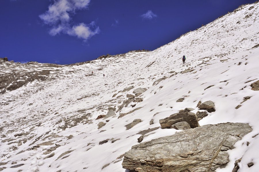
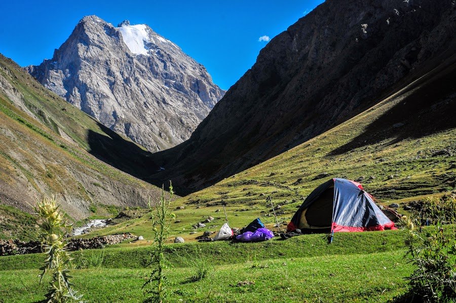
The Borisov group met with fresh snow near the top of the pass (18 August 2014) and reported that it slowed them down (all photos below by Timofey Rakshin). This image is the south side of the pass. The group reported that the south side of the pass is grassy slopes that transition to rocky scree slopes. There is no exact route, giving you many options for an approach.
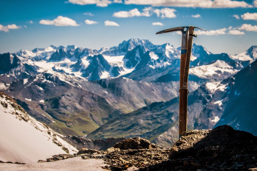
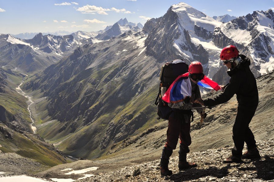
The two photos above are taken from the saddle, the top photo looking north, and the bottom photo looking south.
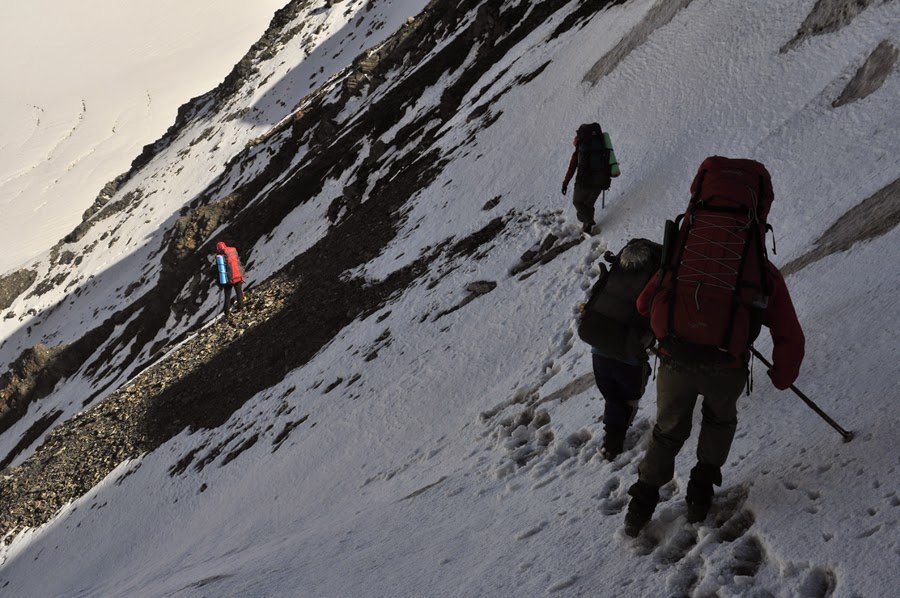
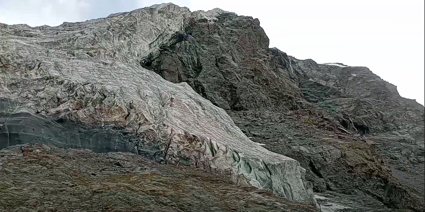
The descent to the north gets only a brief description by the Borisov group, as they are climbers and this descent would be so easy as to merit very little attention. In the photo left/above showing the descent, the group didn’t even bother to put on crampons for the brief snow and ice section (but I do see at least one ice ax). Worth mentioning is that near the bottom of the glacier they reported that a backpack-sized boulder fell in a place they had just walked through. So this is not an entirely safe area.
Borisov describes the descent:
The glacier is short, we move along the left-bank moraine. The tongue of the glacier is steep, covered with clastic material, it is a rockfall hazard area. Stones up to 40 cm in diameter roll from the moraine. We went around it, clinging to the port side, walked about 50 meters. We run into a small rocky outcrop, go around it on the left along the way. Further, the steepness decreases to 200, after 200 meters grass and sheep trails begin.
Worth mentioning is that you do not follow the stream down the gorge. Instead, you stay above the left bank to avoid obstacles. The red line in the image below shows the route (perspective, at the bottom of the gorge looking back up to the south) and the red arrow shows the location of Dehmanora Pass.
Camping: On the south side you can camp at the Duoba Shepherd Camp or nearby (plenty of flat grassy areas here). There is a possibility of camping higher up. One group was able to find flat spots to pitch their tents at 3180 meters on the left bank of the South Jindon River. On the north side there is a shepherd camp at 3300 at plenty of flat grassy areas nearby. Further down there also appear to be numerous opportunities to pitch a tent.
The lower approaches: On the south side there is a river crossing. Nobody in the Borisov group mentions it. So either the avalanche snow bridge was still intact, or the crossing was easy. The northern approaches are easy. Every river crossing is a footbridge. However, I have not been here to confirm the locations of the bridges. They do change due to flooding, so don’t expect them to be where they are show on the map (which is based on what may be out of date satellite/aerial photos).
The image below is taken further down the Dehmanora gorge, at 2750 meters (where the left tributary river joins). They report being able to find clean water and firewood in the area.
Recently a local YouTuber hiked from the Zarafshon valley up to the hanging glaciers at the head of the Dehmanora gorge. This shows all sections of the gorge, from bottom to top. It gives a great view of what you can see if, after descending to the north from Dehmanora Pass, you go up the gorge (about 1.5km). They helpfully provides times and intervals, showing that they took 7 hours to get from the villages at the bottom of the gorge to the glaciers at the top. They are mountain guys traveling light, so your time may be longer.
Last updated: September 2022
