Jizev-Rozhak Pass
4880 Meters, 1B difficulty rating
Connects: Bartang Valley to Ghund Valley
I went through Jizev-Rozhak Pass from west to east on August 7-11, 2023. I started walking from the town of Rushon on the 7th after breakfast and arrived in the village of Rozhak before noon on the 11th.
GPS Track: Download Jizev-Rozhak GPX.
Names: Jizev-Rozhak Pass is a descriptive name that I entered into Open Street Maps. No previous name exists (see below). Jizev is how the name is spelled; it’s usually pronounced as Jizeu. I confirmed the names of all three hamlets in the Jizev Valley (Chadin, Boghjingal and Barukhtin). I did not ask about the lake names. I’m sure some of them are spelled incorrectly.
Note: in 2023 the government officially renamed the lakes. I doubt locals are aware.
On the Ghund Valley side you will arrive in the village of Rozhak. On some older maps it is incorrectly labelled as “Zuvor“ (Zuvor does exist, but farther up the Ghund River).
Background: There is no report online, in any Soviet/Russian pass database, on the GenShtab map, or in any digitized book mentioning a pass in this location (in any language). Nobody in Jizev knew of a pass to Rozhak. In Rozhak a shepherd told me he had been to the bottom of the pass that I descended from, but that he could not find a route up (you can’t go straight up/down). He was there because he was curious, not because he needed to be there. He said he does not know of anybody who has travelled to Jizev over the mountains. I found no cairn or Soviet mountaineering note cached in the pass. So it is safe to say that there has been no recent historical use of this pass. Of course, it’s unlikely that nobody has been through this pass. Not every mountain hunter publishes a trip report, and not every geologist or climber talks to the locals about their trip…
However, wild animals do use this pass. I saw signs of ibex travel and even snow leopard footprints.
My video below will give you a good idea what to expect in terms of scenery, but it provides no technical information. That can be found below the video.
Difficulty/Danger: 1B in the Soviet/Russian alpine scale. After the livestock trails fade (above the grass line) you will be walking on rock and gravel. There are a few steep scree sections, but nothing that I consider dangerous. You can avoid the glacier on the Jizev side, but not on the Rozhak side. Don’t do this pass if you do not have any experience/knowledge of glacier travel. By mountaineering standards it’s a relatively safe glacier for the short section you need to travel on (when I was there), but that could change depending on the conditions and time of year.
On the Rozhak side I crossed two snow bridges over the small river. Later in August you will likely be doing river crossings. The highest one will be easy, the lower one will be more difficult (see my comments below).
The immediate descent/ascent through the pass will not be possible until the snow melts (unless you have crampons and an ice axe). My route was snow free, and likely was since the beginning of August. But snow levels vary from year to year.
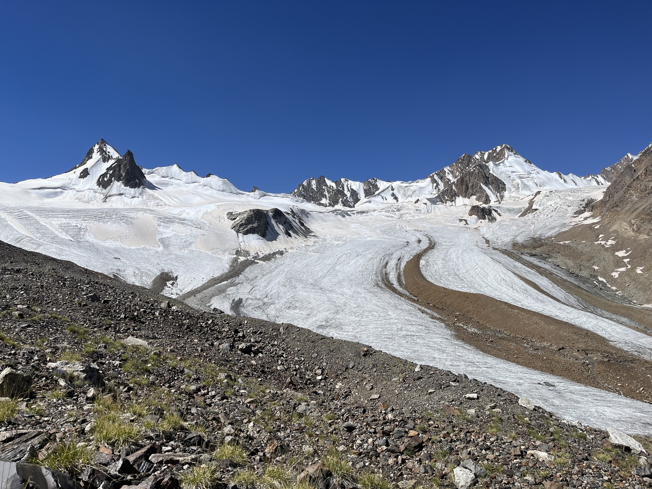
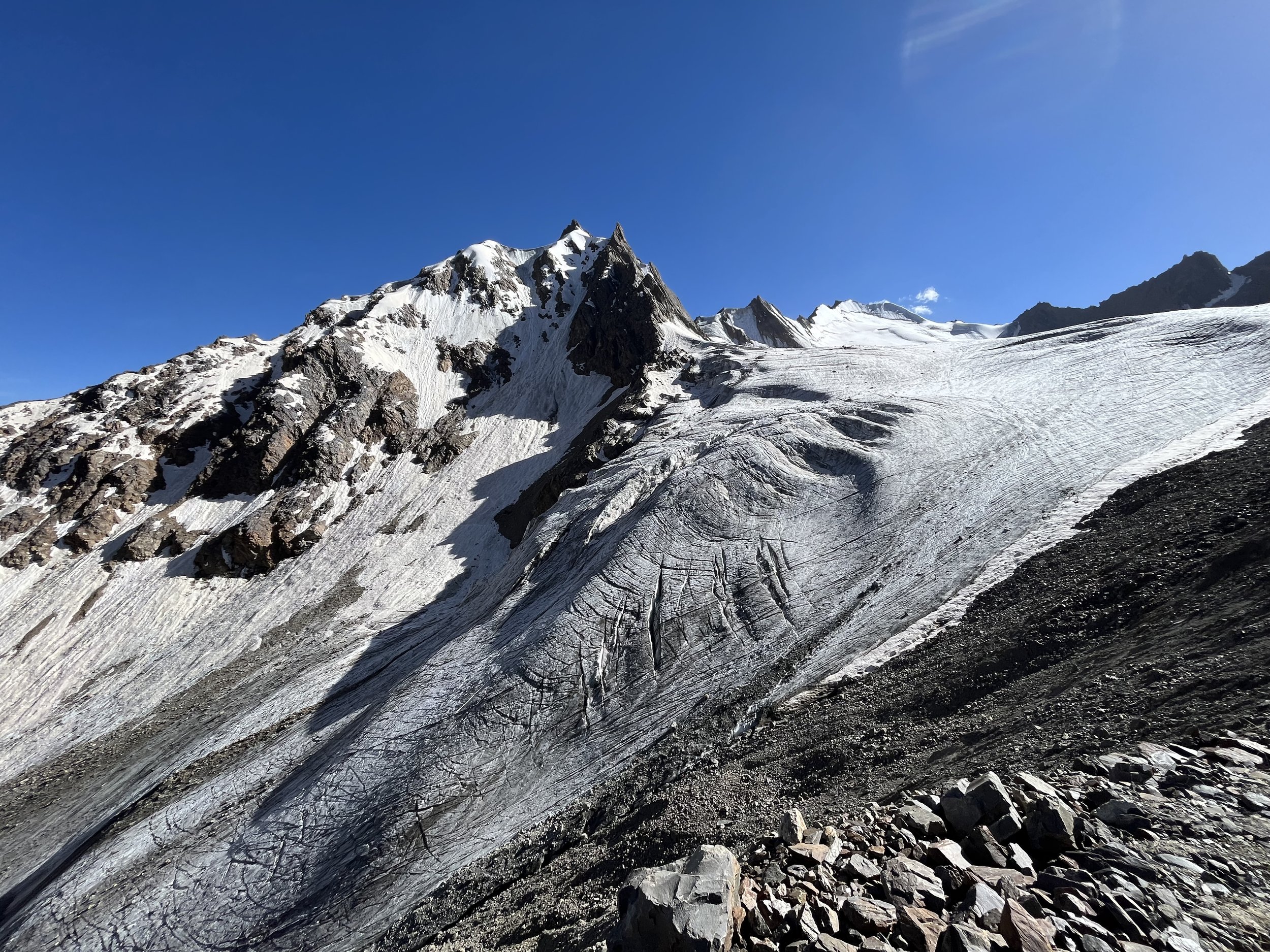
The photo below shows the Jizev side of the pass. My phone’s wide angle lens distorts height and distance. The pass is steeper and higher than it appears in this photo.
Direction of travel: I strongly suggest west to east (Jizev to Rozhak), especially if you are not already acclimatized to altitude. The approach from Jizev is a gentle uphill over multiple days. The Rozhak side is a short and very steep uphill. 4880 meters is too high an altitude to rush up to. The Jizev side offers a gradual acclimatization, and you will have scenic views and nice places to camp while you slowly ascend.
Day One: I started walking the Bartang Valley road from the town of Rushon at 9am and arrived at the first guesthouse in the Jizev Valley at 6:45pm. The road walk is OK by local standards. There is not very much traffic. By dinner time I had arrived in the hamlet of Chadin in the Jizev Valley. There is a guesthouse here, but there are also guesthouse in the next two hamlets. If you have a driver taking you to the Jizev bridge over the Bartang River, you don’t need to start your drive too early. It took me 2 hours 30 minutes to get from the bridge to the first guesthouse.
Several drivers stopped and asked if I wanted a ride. However, in the morning the direction of travel is overwhelmingly going the opposite direction (from the villages to the regional center town of Rushon).
It was raining overnight in Rushon and through the early morning. There was some minor flooding on the road. I have waterproof full grain leather boots, so it was not a problem.
You can buy a snack or drink at one of the shops in Shujand. After this in the smaller villages the much smaller shops may or may not be open when you walk by. After the village of Emts there is a nice area to take a break. There is a flat grassy area next to the wetlands with a nice flat boulder to sit on. Just a little farther up the road are two excellent springs to take water from.
Note that there a multitude of spelling variations for Emts (Yamts, Yams, Ems, Yems, Yemts, etc.)
Upriver there is a footbridge across the Bartang that goes to the abandoned hamlet of Rid. A flood destroyed much of this village. The area makes for a nice visit if you have extra time on your hands.
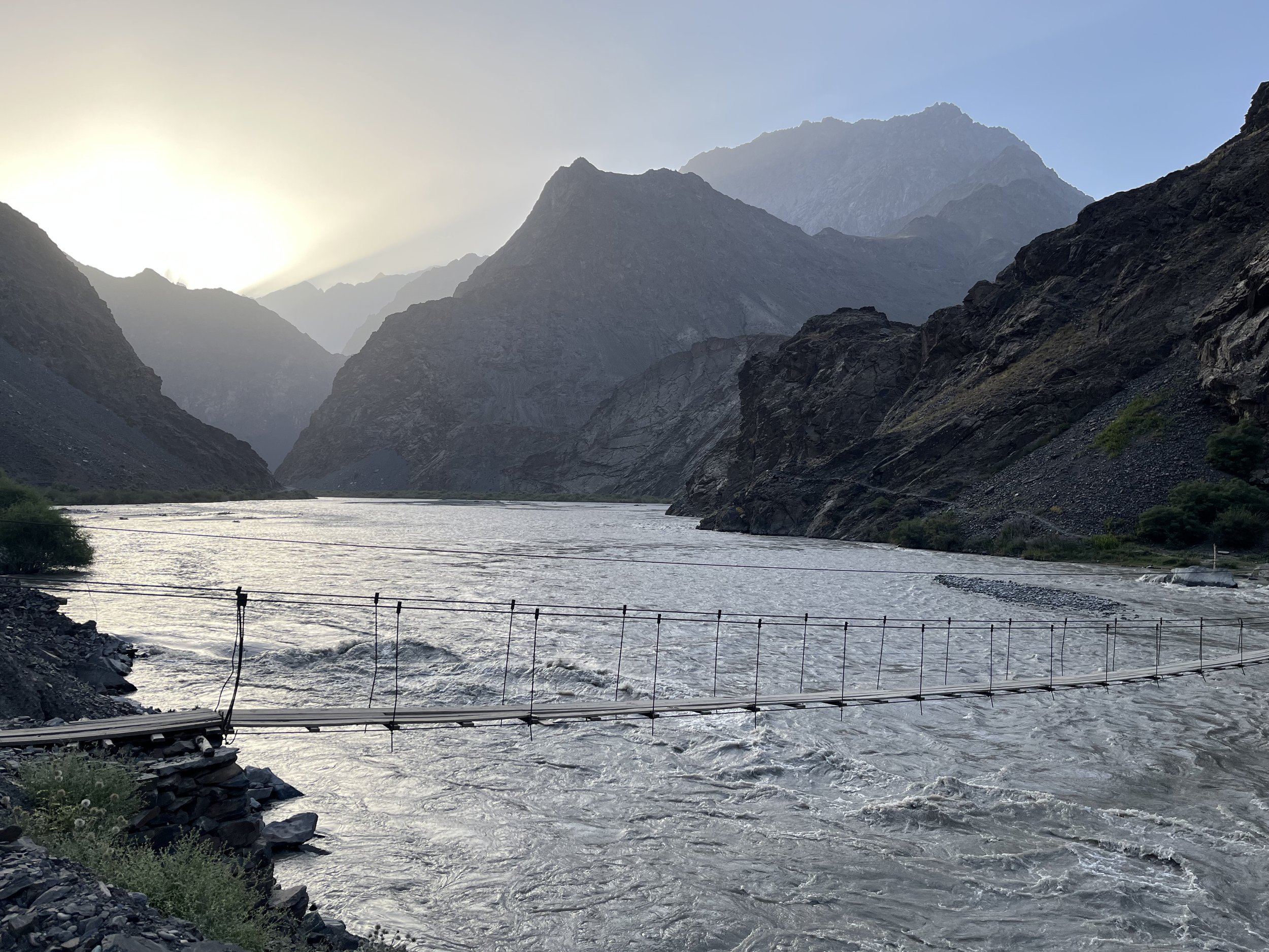
The next footbridge is the start of the Jizev hike and the end of road travel.
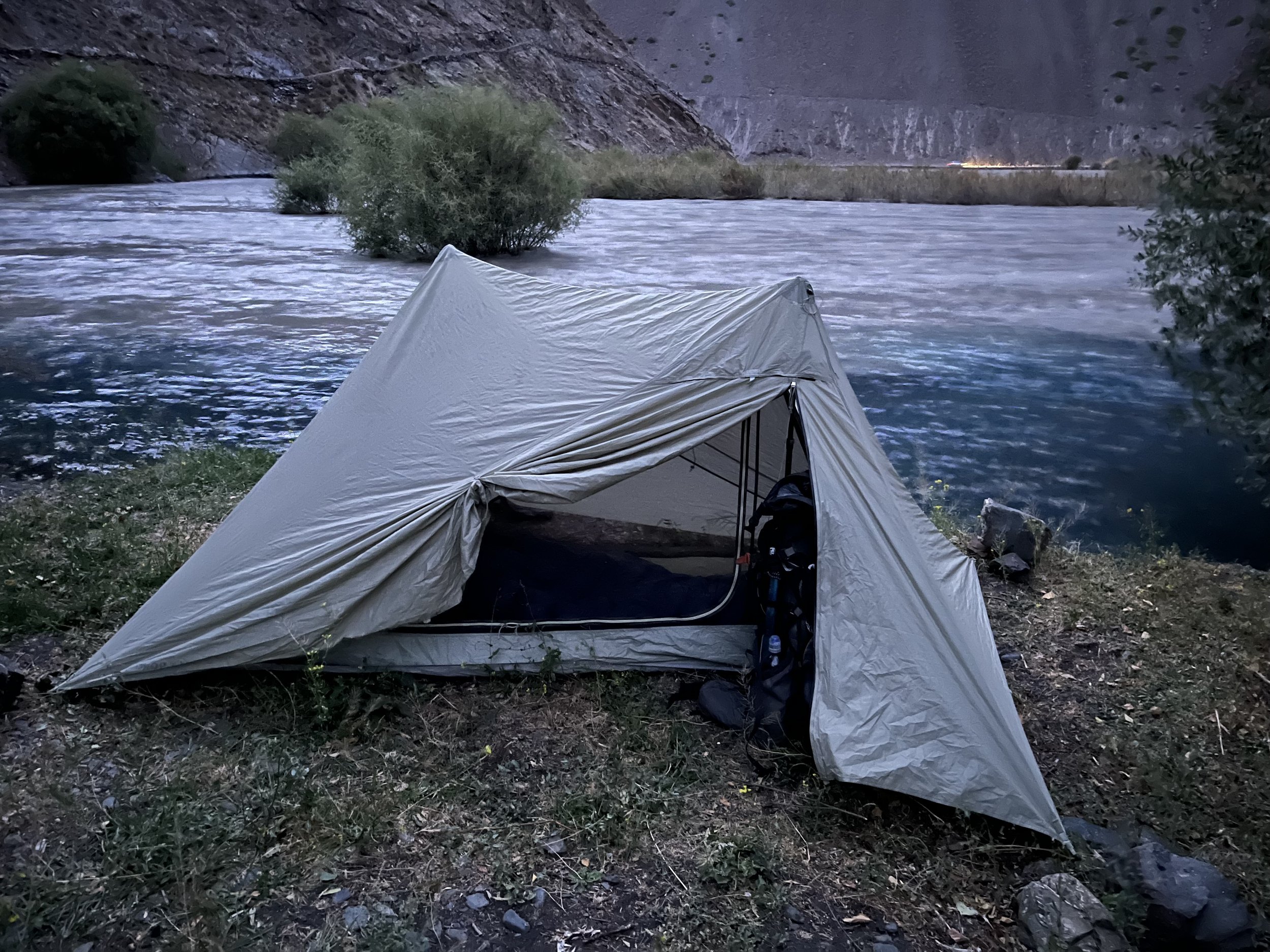
After the bridge there is a short cliffside walk to the inflow of the Jizevdara River. You will first cross a small stream that has as its source a strong spring. This is the best source of clean clear drinking water. If it is late in the day, you can camp here. The ground is very hard, so you will have some difficulty getting stakes into the ground. Photo below from my second trip in this area.
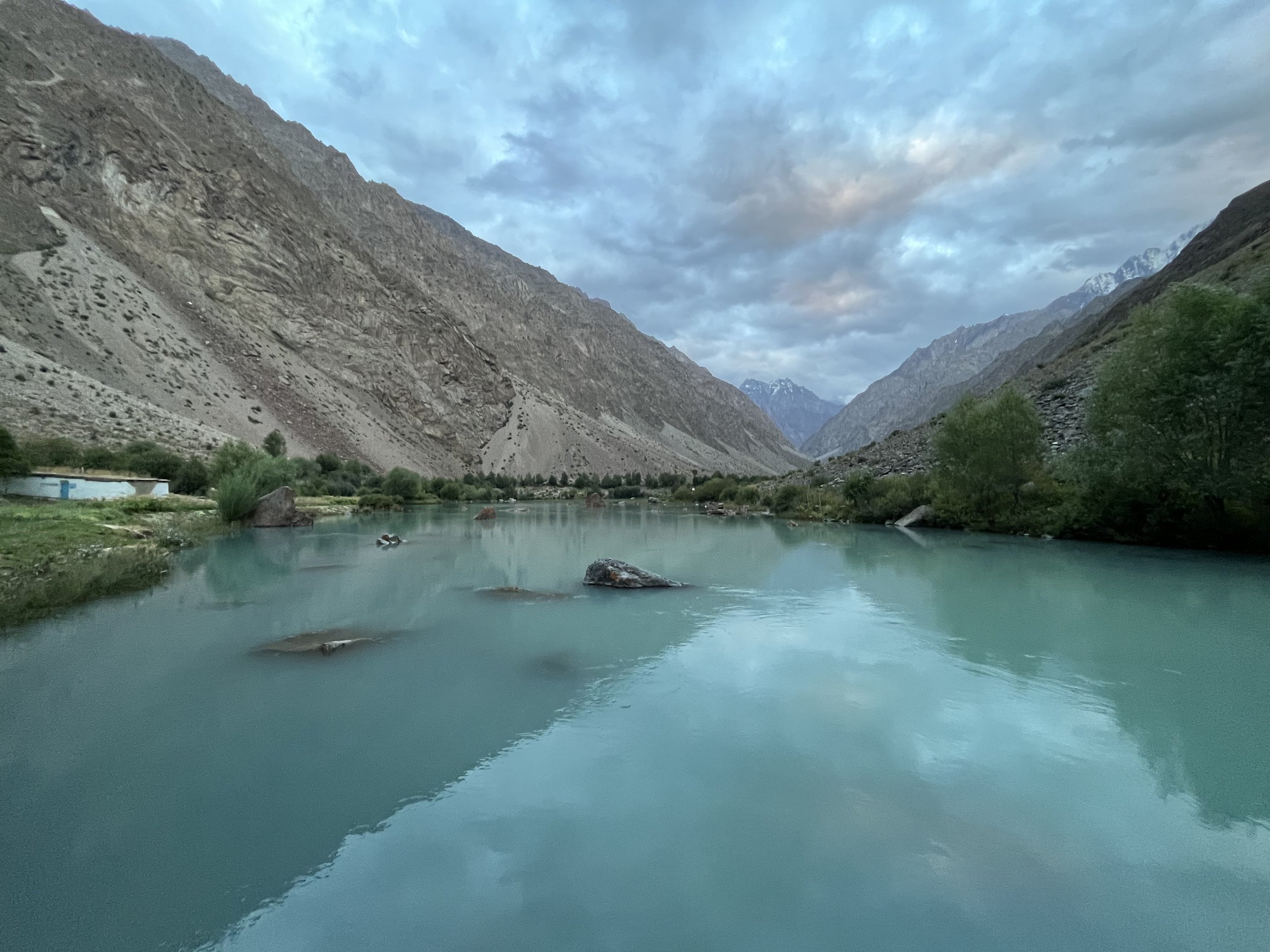
From the confluence you are now just over two hours away from the hamlet of Chadin and the first guesthouse (photo below is the lake view by the guesthouse). This two hour hike is very scenic at the bottom of the gorge and also has many places to stop in the shade of the riverside trees.
Every hamlet in the Jizev Valley has a guesthouse/homestay. All the hamlets have electricity. The price varies from $10-15 per person and includes dinner and breakfast (assume $15+ from 2025 onward). My meals were small, so don’t expect a filling meal. But this may have been because there were 12 people at the first guesthouse. I think they were surprised by so many people at one time.
I camped in the guesthouse yard in my tent and paid 150 Somoni. They didn’t ask for 150. I overpaid because I felt like it, and because I spent quite a while talking to the men and asking them questions about the area.
After dark I was bitten twice by flying insects. One was a mosquito and the other a bug that left me with an itchy bump that lasted for days. Over the next two days I was bothered a few times by a solo horsefly, but never bitten.
If it had been earlier in the day I would have continued walking up to the the higher guesthouses. They should consistently have less tourists staying there. Note that the guesthouse in Chadin had one electric outlet for 12 people. There was no shower or bucket shower on offer. One of the upper guesthouses in Barukhtin does have an outdoor shower (and maybe with a sun-heater). When I was there every village had an English speaker.
Don’t camp near or between the villages. This is very inappropriate on multiple levels. If you set up a tent it should be well above the highest village.
Day Two: I left Chadin at 8:10am and arrived at Toraz-Dogobkul Lake (Tordughobkul) at 4:35pm. There are no decent camping spots after this lake until Gumkul Lake (Zhuykul), so I decided to stop earlier than I usually do.
Right after leaving Chadin there is a good spring on the east side of the lake. Take enough water to last until the springs on the far side of Tsakinkul Lake (Shapinkul).
Between the villages is very grassy, brushy and with plenty of trees. Occasionally the trail is vague or overgrown. There are also smaller trails that leave the main trails. In the villages the trails are especially vague and it’s not always clear where you should be going. There are also a couple of wet sections where the small irrigation ditches overflow into the trail.
After the villages the trail slowly gets rougher and rockier. In some places there is no clear trail. But it varies back to good clear trails on and off until the upper gorge.
Tsakinkul Lake (Shapinkul) and a bench under a tree right before Kokenbaus Lake are good places to take a break.
In the forest at Tachkargou there are places to camp (2880 meters). But if you started at Chadin in the morning you will be here far too early in the day to camp.
There is a shepherd summer camp/village at 2990 meters (I didn’t get the name, as there was nobody home).
At 3380 next to Toraz-Dogobkul Lake (Tordughobkul) (photo below) is a temporary livestock overnight spot. It was abandoned when I was there, and there was not too much manure. What was there had long dried out. The ground here is sandy, flat and easy to stake into. I stayed here for the night. I regretted not bringing more water from the springs below. I had to filter the silty water from the lake (not good for my filter).
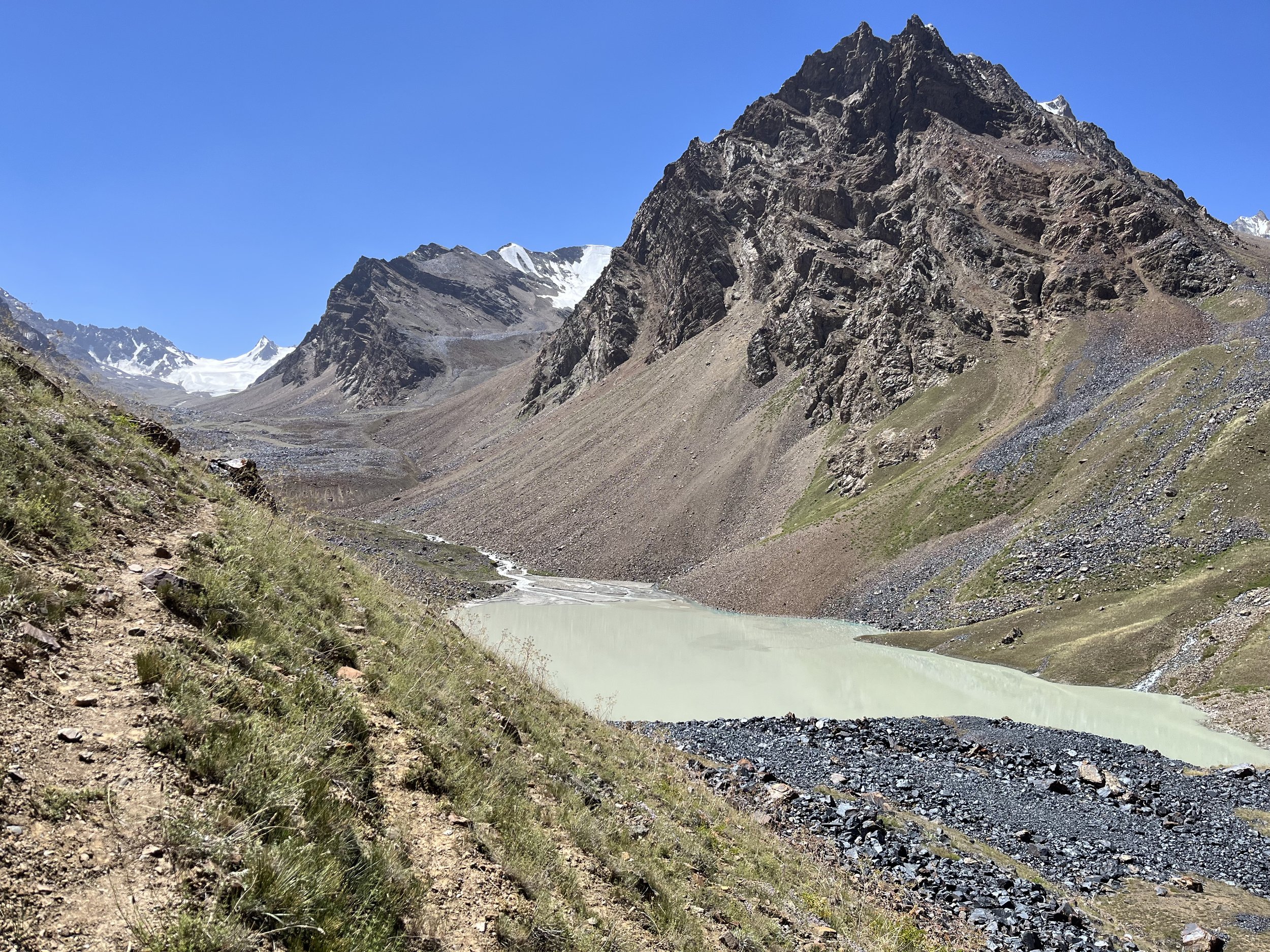
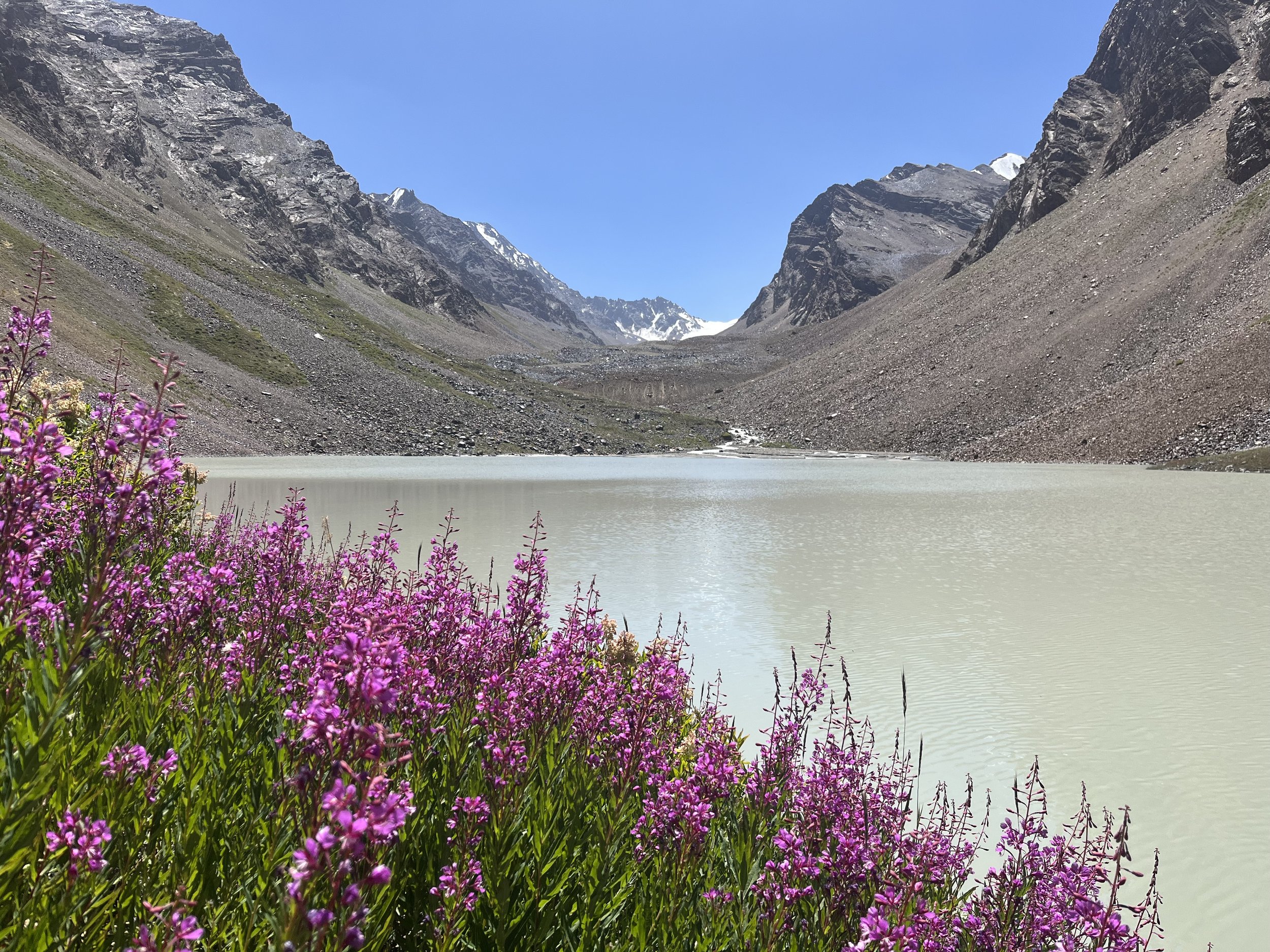
Day Three: By 8:15am there was sun on the campsite. I left Toraz-Dogobkul Lake (Tordughobkul) at 9:00am and arrived two hours later at Gumkul Lake (Zhuykul) (photos below). The scenery between the two lakes is sub-par compared to the rest of the Jizev Valley, but the trail here is easier than it was in the section just below Toraz-Dogobkul Lake (Tordughobkul).
I spent 90 minutes at Gumkul (Zhuykul) searching for springs and camping spots. There is some rough and uneven camping on the north side of the lake if you arrive here late in the day (but you may have problems getting a stake into the rocky ground). There are some clear streams and springs that I marked on the west side of the lake, but you should just continue on the east side of the lake to a much easier to access spring next to the main river. It was just slightly silty, but drinkable when I was there.
From Gumkul Lake (Zhuykul) to the flat braided section of the river at 3775 meters took 1 hour on a very rocky riverside trail. I wouldn’t camp anywhere in the gravel/sand flats until later in the summer or early fall when there is no chance of rising water. At 3880 meters I passed about 20-25 cattle, but no shepherd. Cattle are often left to graze alone, and with no wolves or bears in this gorge (confirmed by the shepherds), the locals don’t have much to worry about.
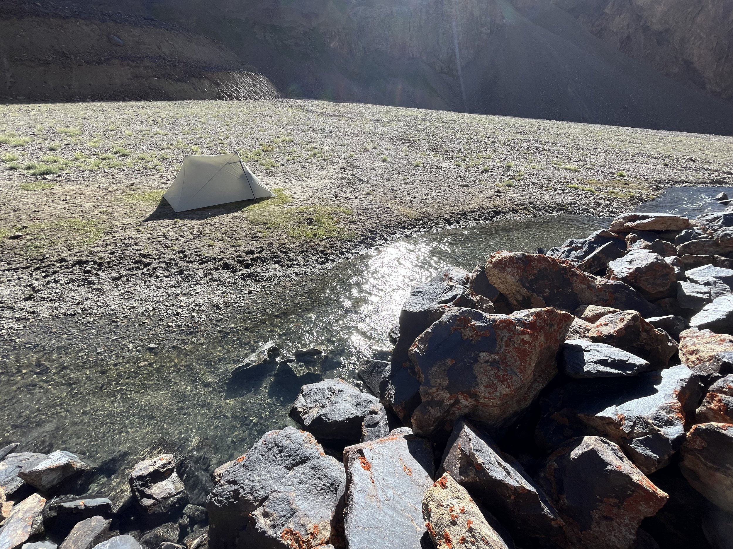
Between the 3880 meter flats and the 3900 meter flats there are several flat grassy spots to set up a tent. But if you don’t mind camping on gravel and sand, it is possible to camp next to the excellent springs at 3910 meters. As you can see with hoof prints in the photo below, cattle also visit this spring to drink. This is the highest that the cows venture and there are no more cattle tracks or trails above this point - just open terrain.
Day Four: I left the camp by the spring at 7:10am And was at 4880 meters on the wrong side of the saddle at 1:40pm. After a scramble down and back up to the other side of the saddle, I was in Jizev-Rozhak Pass at 2:05pm. By 7:15pm I was at the 3530 meter camp in the Rozhak Gorge. If you are slower than I am you will need to time your hike different - and perhaps camp at a higher elevation in the Jizev Gorge and/or in the Rozhak Gorge.
After leaving the spring camp at 3910 meters in the Jizev Valley there are no more trails or cattle tracks. I had to immediately scramble up and over a rock glacier (Google it - it’s a thing). It’s steep and loose on both sides. Can you avoid it by following the riverbank? Maybe. I’m not sure. I could not get a good view after choosing to scramble over the rock glacier.
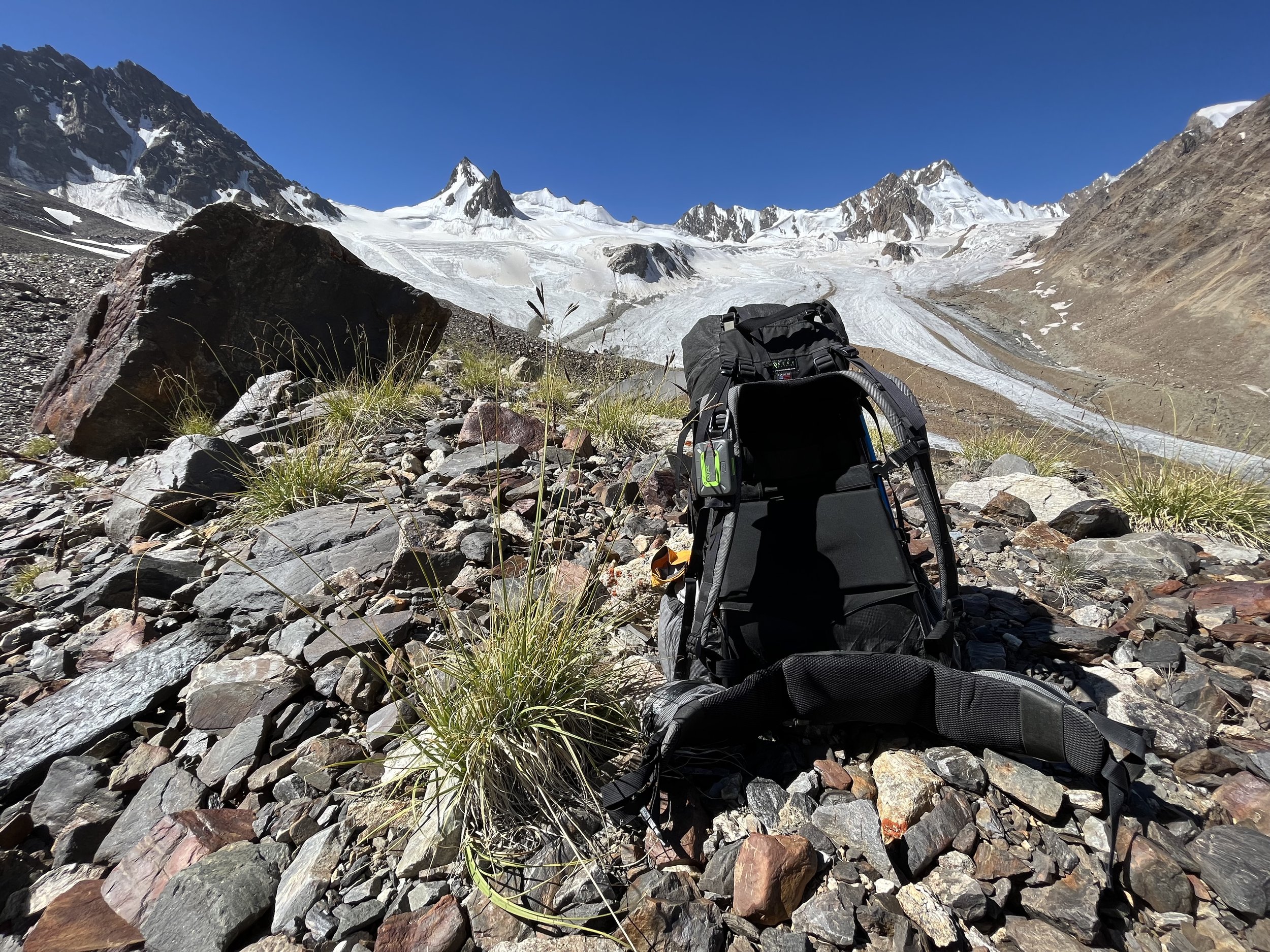
There is still some grass in the area up until 4300 meters (see photo below), but no sign of livestock. However, ibex are in this area.
There is not much to say about the open terrain. It’s is rocky and slow. You can pick your own route on the old moraines. What you see on Open Street Map data is my route. I did choose correctly by going well above the glacier gorge. The bottom of the gorge eventually funnels into an area with rockfall. I could see rockfall semi-regularly going down into the gorge bottom.
You can avoid the upper glacier by going up on the side slope - the safer route. I went on the glacier from 4580 meters as it is much faster (and I could see everything in my path - there was no more winter snow covering the part of the glacier I walked on).
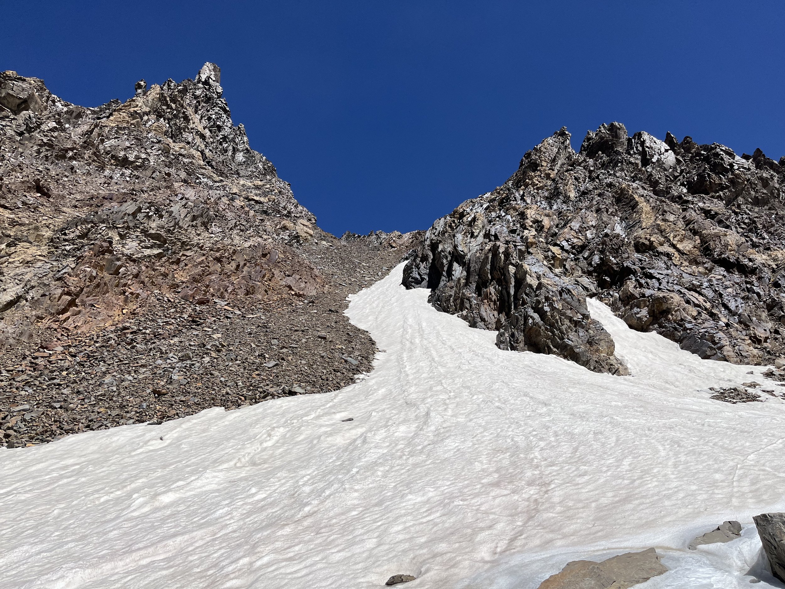
At 4730 meters you turn left up a couloir/chute towards the pass. If you choose to go to the left side of the couloir there is some more solid rock and some scrambling. It was one-handed and I was never pulling much weight up with my one arm. The talus/scree is loose and you do lose some of your progress to your foothold sliding downhill a little. I could see no sign of falling rock in the couloir.
The photo below was take in the pass towards the south.
Once in the pass you can see a steep drop towards the Rozhak Glacier that the ibex take. You are not an ibex, so follow the Open Street Map route laterally (with some minor downhill scrambling) to the north until you arrive at a scree slope you can walk down. The slope/chute did not have any active rockfall when I was there.
At 2:40pm I was on the glacier. I stayed to the left. What you do when you get here depends on the conditions. My route may not be your route. There may be no safe route when you are here. Don’t go on a glacier unless you know what you’re doing. My video below gives you an idea of what it was like when I was there. BUT… this may not be the case when you pass through. My “go left advice“ may not apply. The last clip in the video is a warning to be on the lookout for crevasses even when you think you are on rocks and free of the glacier.
When you leave the glacier make sure to fill up on water (unless it’s cold and there is no ice melt). You will come across nothing but silty water until the springs at about 3750 meters.
You will travel on rocks of varying sizes and looseness as you go down the moraine - from solid rocks and boulders to loose scree and gravel. There are a couple of short steep sections on loose scree. There is some flexibility on which route you take. But at 4390 meters after the viewpoint marked on the map (photo from viewpoint below) you will need to divert around some cliffs. You can see the diversion on my route.
At 4250 meters nearby two very silty springs there is a flat gravel spot where you can camp if desperate. You won’t get stakes in the ground here, so you’ll need a freestanding tent.
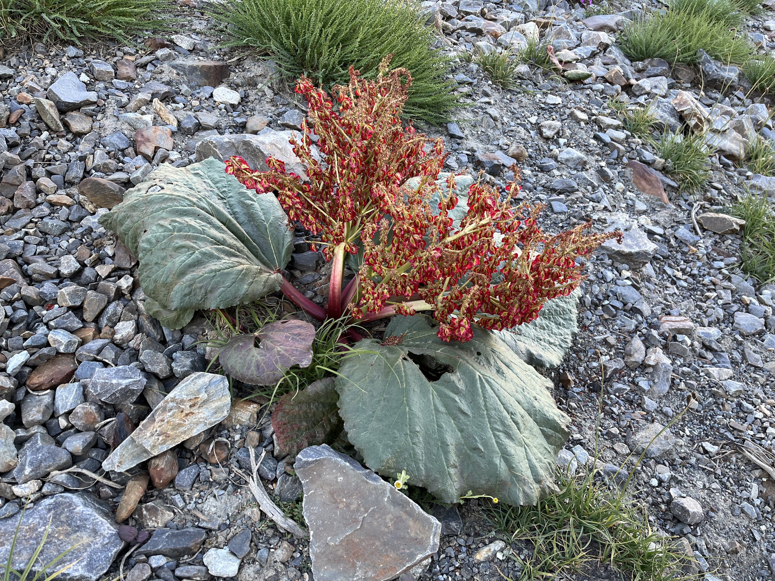
At about 4070 meters I entered a huge rhubarb field. The plants had mostly gone to seed and the small rhubarb stalks were not so tasty.
At 3940 meters I crossed on a snow bridge to the right bank of the river. If the snow bridge is melted when you get here, your crossing point may be in a different part of the river, up or down stream.
Soon you will come to an area with dozens of springs and little streams. They are not all equal sources of water. The clearest and best tasting water is from the spring labeled as “3755 Meter Spring.“
I soon came across cattle - all bulls. The dairy cows and calfs are all at the bottom of the gorge near the village of Rozhak. The bulls are friendly…but only during the day. At night I had several angry bulls come to investigate my tent. I had to get out of my sleeping bag and herd them away three times: 9pm, midnight and 5:40am.
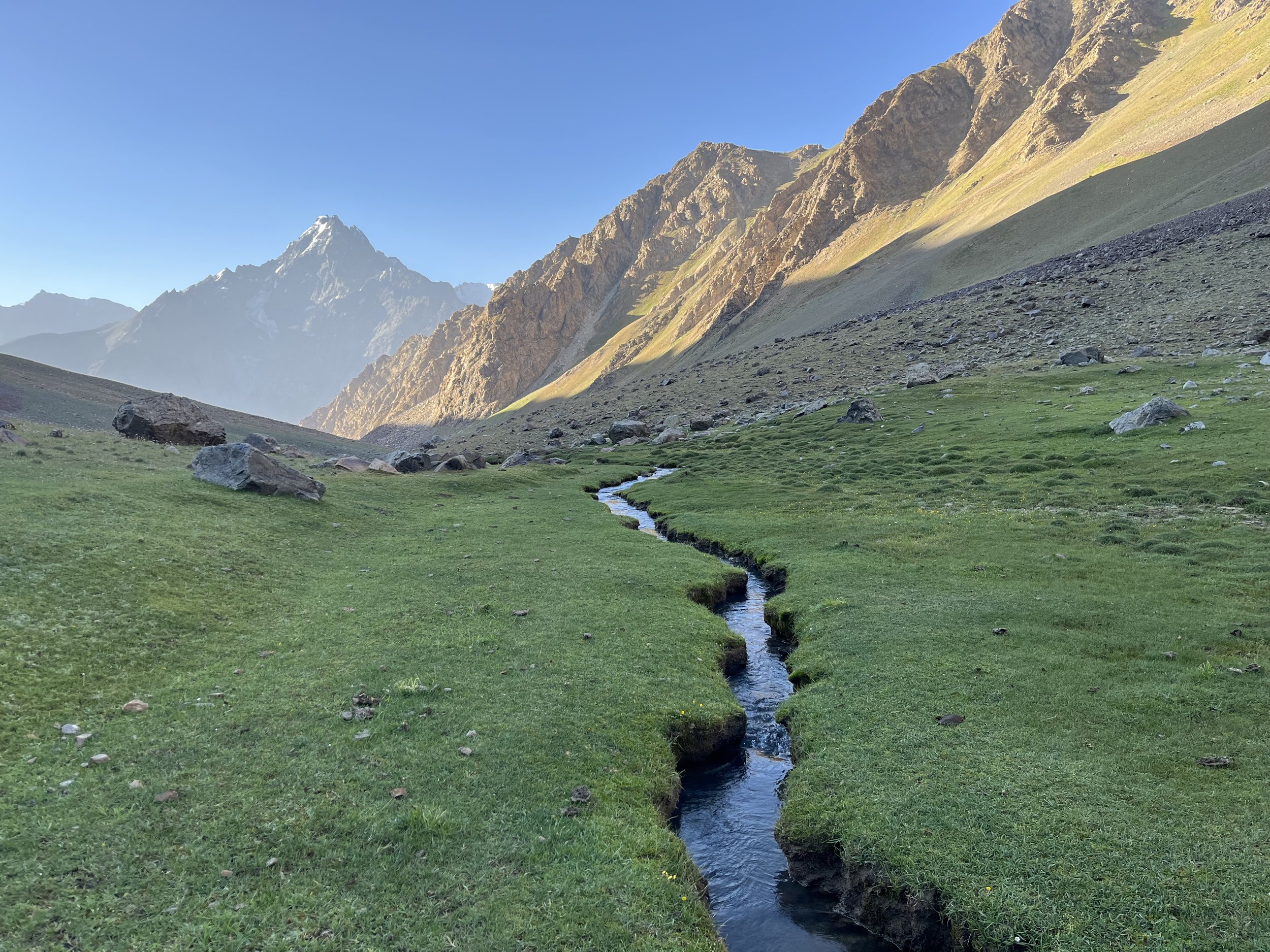
The flat and soft grassy area at 3525 meters (photo below) makes for easy camping and has good access to a nearby spring. The drawback being the angry nighttime bulls.
Day Five: This was an easy downhill day. There are occasionally rocky sections and a few areas where there is no clear trail (usually open grazing areas). At the bottom of the gorge there are some overgrown thorny sections on the trail, plus some stinging yughan plant (but it was harmless and dried out when I was there). It should take about three hours from the camp to the hamlet of Rozhak.
The main obstacle is the snow bridge at 3460 meters. It was partially collapsed when I was there on August 11, 2023, but still easy to use as a bridge (see video at top, starting at 14:40). This bridge will not be there later in the season, and in a year without big winter avalanches there may not be a snow bridge at all. So you will need to cross just upstream. A crossing here will be doable for some, but not for others. Another option is to continue on the right bank down to about 3400 meters where there is a flat river section that is safer to cross.
If you are here in the later season and you don’t like the idea of a river crossing then you may want to consider making your entire journey down Rozhak Gorge on the left bank. Meaning, don’t cross at 3935 meters, but rather stay on the side you are on. I don’t know about what your camp sites will look like, nor can I comment on the availability of water on this side (aside from noting that the main river is clear in the early morning and then siltier later in the day).
When I arrived in Rozhak I immediately crossed a footbridge at 2780 meters. This was a mistake, and it put me right in a private courtyard of a house. So you should continue on the same side of the river and aim for the car bridge father downstream. Of course, this route may also put you through a private yard. The route is unclear in satellite imagery.
Once in Rozhak I asked about the wildlife and was told that there are no wolves, but there are bears. However the bears are elsewhere in summertime and do not come to the Rozhak gorge until autumn and early winter.
I showed a man in the village my videos and he recognized his angry bull and we had a good laugh (it was not so funny at the time).
For transportation to Khorugh (Khorog) you should be on the main road very early in the day. Not at 11am when I was there, but hours earlier. Traffic is sparse after a very early morning rush of cars that leave the villages for Khorugh. In Rozhak they said that if I catch a marshrutka (minivan) they cost 20 Somoni (2023 price for locals) and go as far as a car/minivan station in the village of Bidurd (they are prohibited to drive into central Khorugh). From Bidurd to central Khorugh it is 5 or 10 Somoni - I can’t recall exactly. But if you catch a shared car from the Rozhak area, it costs 30 Somoni per seat (the locals’ price) and the cars go straight into central Khorugh.
