Methodology
Where we find the information, how we interpret it, and how we add it to the map.
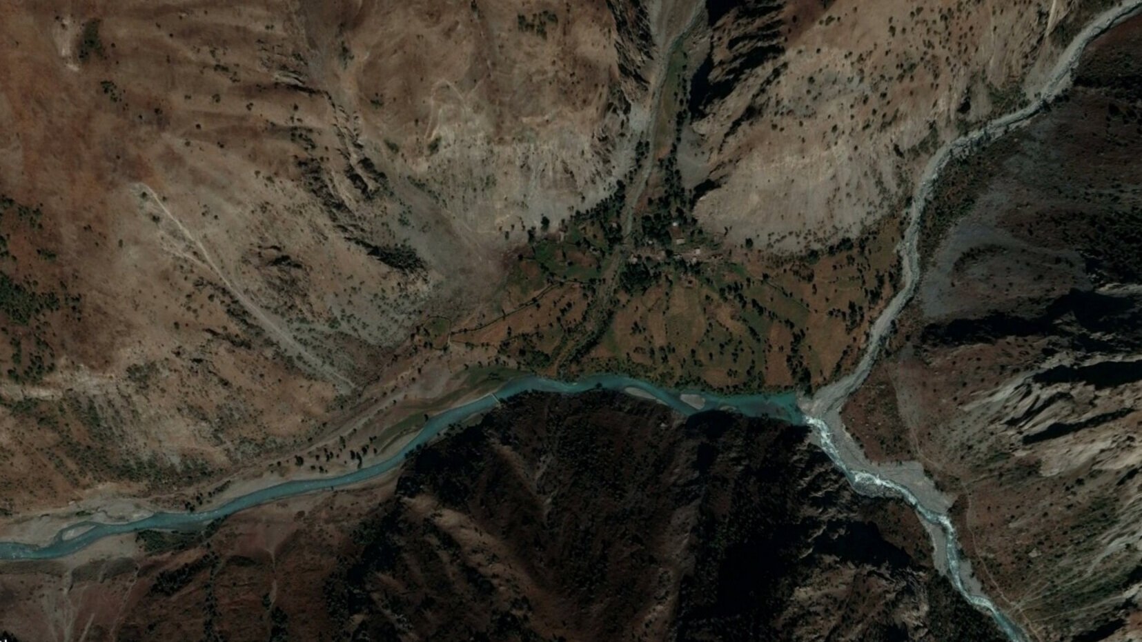
We do not work in GIS, nor are we trained cartographers. All work is manual input on the Open Street Map (OSM) editing platform, ensuring that our work is freely available to the public. Some edits are quick and easy (example: adding a bridge over a river based on the satellite view), other single small edits are a result of reading deep into Russian expedition notes, some as far back as 120 years (to help determine the trail difficulty, danger and the time of year it is snow free). Some edits are a result of a personal visit (example: arriving to find out a bridge seen on satellite imagery was destroyed 8 years ago).
The main sources:
1. Manually mapping over satellite and aerial imagery from ESRI, Mapbox, Maxar and Bing
2. Visually confirming with Google Earth and Copernicus imagery
3. Vestra database of mountain passes and Soviet/Russian expeditions
4. Library of the Moscow City Central Tourist Club
5. Pereval.online
6. The so-called "Soviet Military Maps," AKA General Staff Maps
7. Visits to the mountainous region
Secondary sources:
1. Printed government maps
2. Various printed tourist maps
3. Turklub MAI
4. Gorny Klub MGU (esp. Kostya Sergin)
5. Slazav (Vladislav Zavjalov) maps
6. Numerous reports, books and articles by historical expeditions, travel bloggers and Russian trekking/climbing expeditions not in the above archives.
7. Wikimapia
8. Mountain.ru
9. Nakarte.me
10. Comments/notes and suggested edits submitted by the public via OsmAnd, MAPS.ME and other map apps
11. Email inquiries, discussion with acquaintances, and social media research
12. GPS tracks found on the internet
13. And anywhere else we can get information….