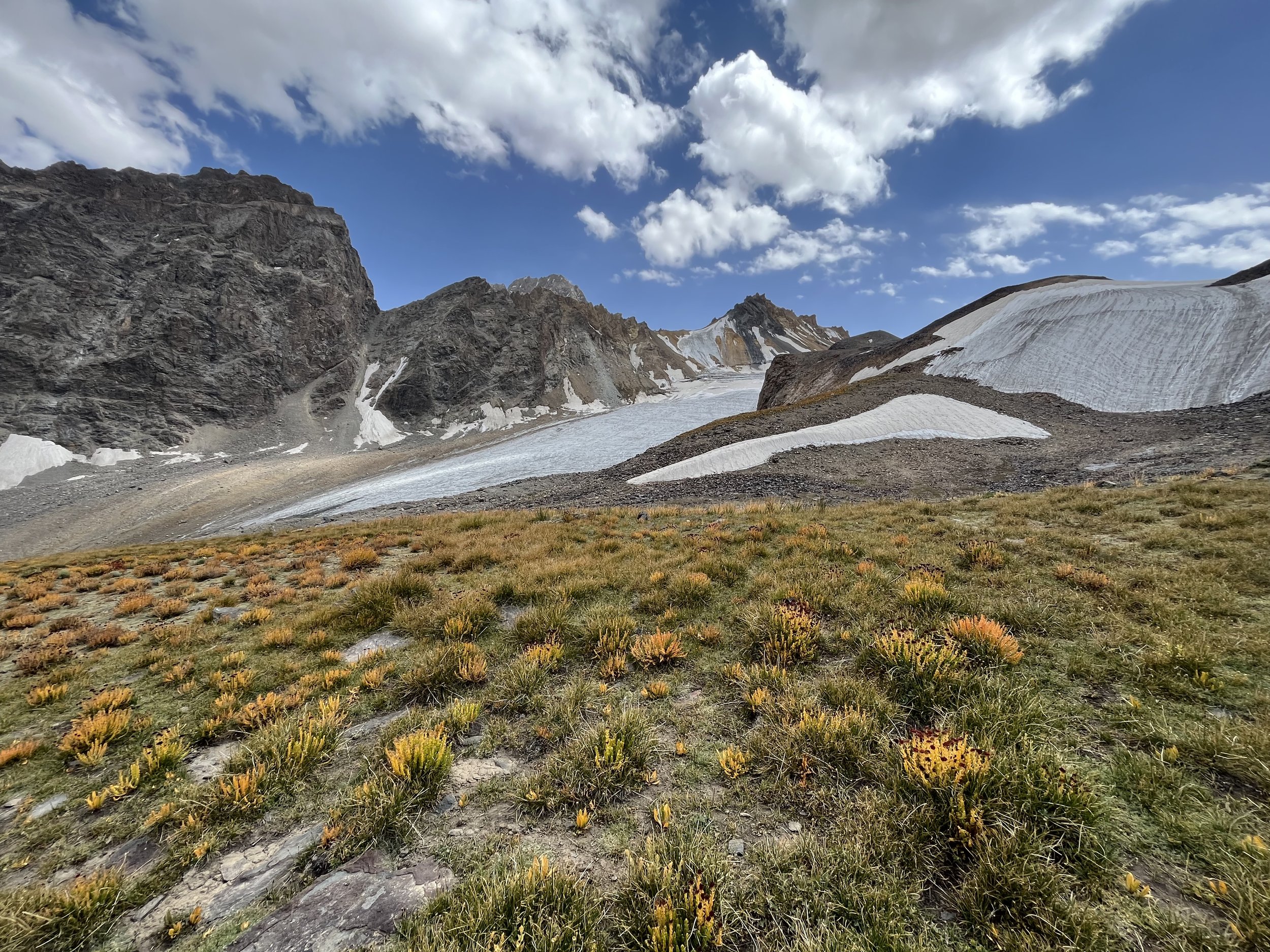
Odudi Pass
Odudi Pass
Odudi Pass (4460 meters, 1B rating) is the easiest route to connect the Bartang Valley to the Yazghulom Valley. However, it connects at the start of these valleys — Rushon on the Bartang side and Motravn on the Yazghulom side. This was a well used historical route that fell into disuse after a road was built along the Panj River. The main obstacle is the glacier on the Yazghulom side. It was easy when I was there (August 20-23, 2023), but may be a problem earlier when unmelted winter snow still covers the glacier (or a problem with fresh snowfall).
In 2024, the route through Odudi Pass was added to the Pamir Trail. So you can supplement this report with information from that website as well. Their description is north to south, while mine is south to north.
The Route
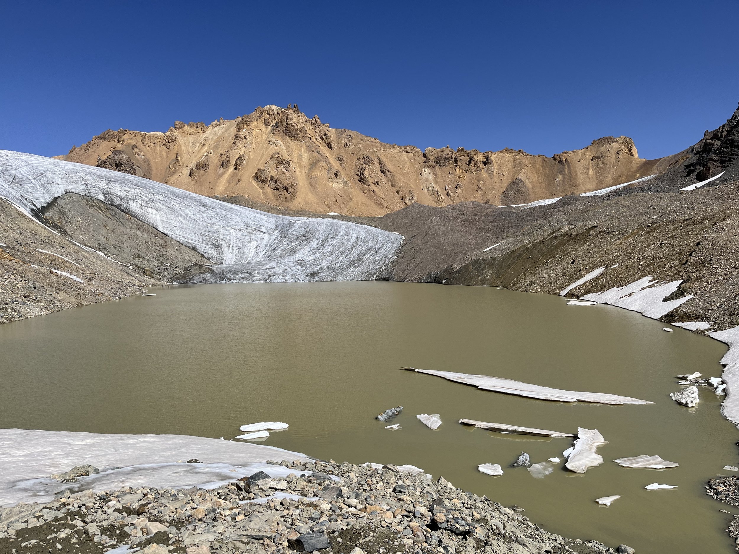
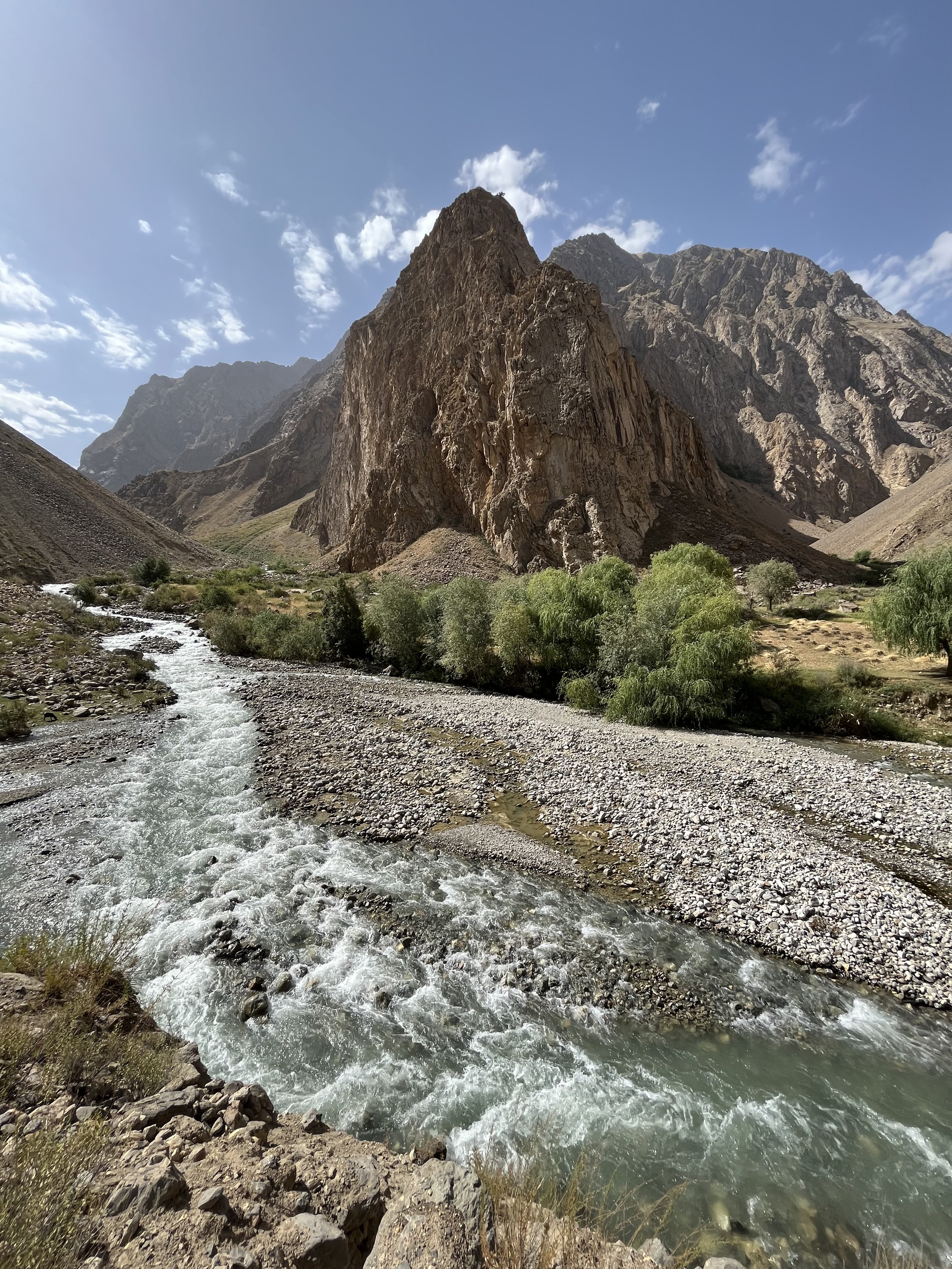
I started in the town of Rushon. Almost immediately after walking through a small neighborhood you enter the Vomardara Gorge. You go up the Vomardara Gorge until it becomes the Odudi Gorge. The trail ends at about 4200 meters and you are now on open terrain - rock, talus, glacier and moraine. You descend from Odudi Pass (photo below) and cross a glacier, heading down past Barghuy Lake to the Maftul shepherd summer camp where an old mining road starts. From here you descend to the Darai Khanil Gorge and then into the main Darai Motravn Gorge which takes you to the village of Motravn.
GPS Track: Download Odudi Pass GPX
Length of Trip
I left Rushon at 11:20am on August 20, and arrived in Motravn at 11:00am on August 23. I made a side trip to investigate an alternate pass, but that only added an extra hour or two. I went slowly and was exhausted on this hike as my previous high altitude treks had worn me out (I came straight from the Baju-Baghu Loop). If you are fresh and acclimatized you can definitely do this hike faster than I did.
Food and Supplies
Shop elsewhere. Dushanbe is best. Khorugh (Khorog) is a distant second choice. I walked to Rushon from another trek nearby, so I had no choice. I checked all the town stores until I found one with bread. Another one had some decent salami by Tajikistan standards. I eventually found a shop that had Snickers. I also grabbed some tea biscuits (really just white flour and sugar). Food choices like this are why I carry multi-vitamins/minerals and omega-3 oil pills.
Accommodation
In Rushon you can choose — as of 2023 — between the Rushon Inn Guesthouse in the center and Muborak Hostel in the outskirts. Both have hot water and electricity, but no wifi. On the other side of the trek in Motravn someone has added a “hotel“ to the map. I walk along the street where the hotel was marked and I saw no sign for accommodation (that doesn’t mean it does not exist). In between you’ll be in your tent, but in some areas the ground is not so great for pitching.
Highlights
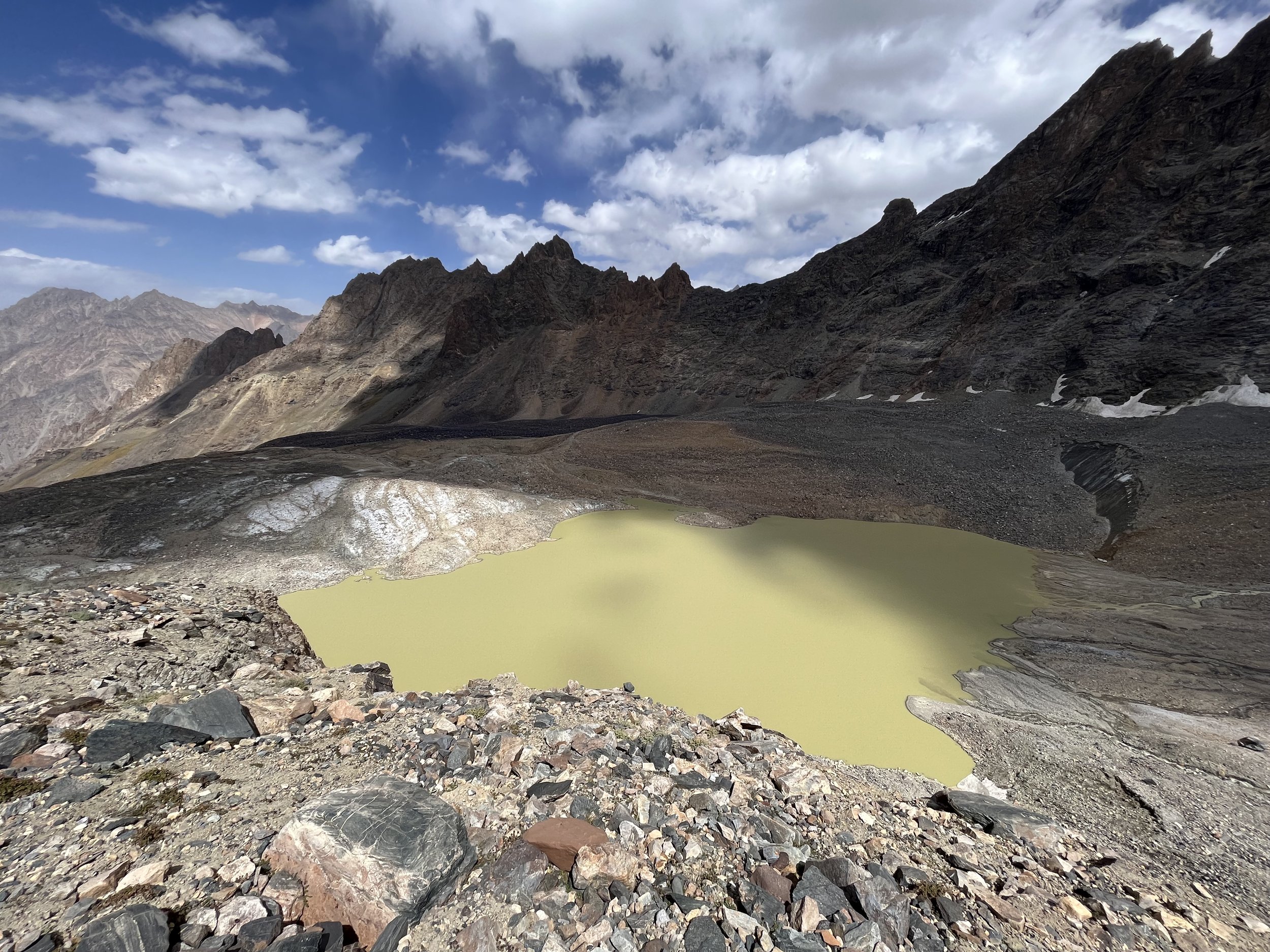
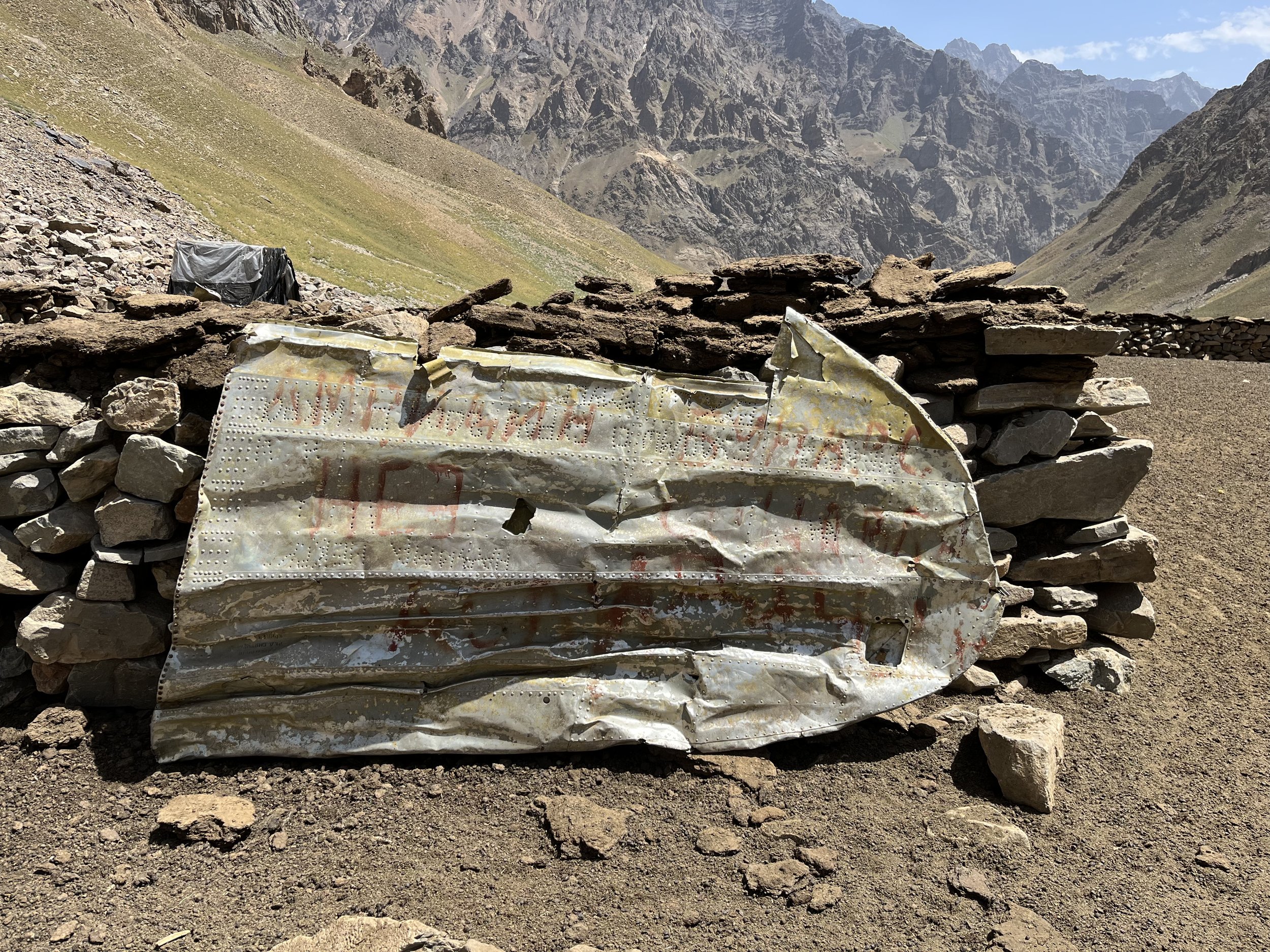
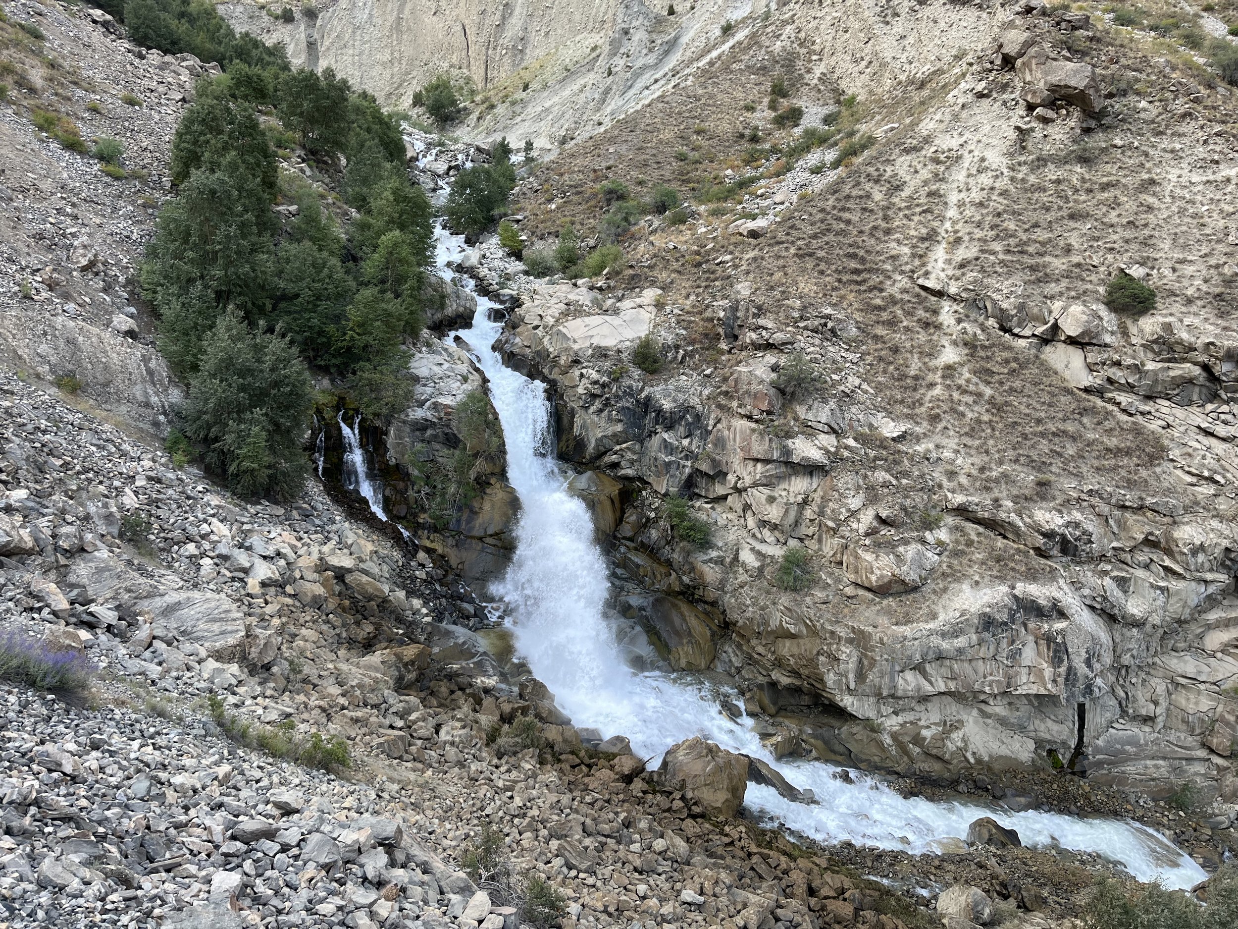
Two glacier lakes on either side of the pass, both colored strangely by the sediment. A shepherd camp made out of a crashed airplane. An abandoned quartz crystal mine. The Motravn Gorge and the summer homes/farms. A great assortment of springs. The peaks and glaciers you see from the pass. The Qagobegi Uav waterfall.
Trip Report
Day 1
At 11:20am on August 20 I left Rushon and started up the Vomardara Gorge. The lower gorge was a little warm. I almost immediately had to sit on the side of the trail to wait for an endless herd of sheep and goats to pass me on their way down. I spoke with the head shepherd and he told me that they were coming down from the pastures for the end of the season. He told me I wouldn’t see anybody else up the Vomardara or Odudi Gorges except for two remaining shepherds and a smaller flock at higher altitude. He also said that there are still cattle grazing unattended.
However, “anybody“ did not include other tourists, and I was eventually passed by two people I had been communicating with online about Odudi Pass. They eventually went through the pass a few hours ahead of me. They lived, as I could see on their Instagram.
Heading up the gorge I quickly noticed that this deep ravine is not friendly to GPS. I was regularly shown to be in random places and the GPS location jumped around. So don’t take your GPS too seriously. Just make sure you are on the right side of the river. This also applies to the Darai Motravn Gorge on the other side.
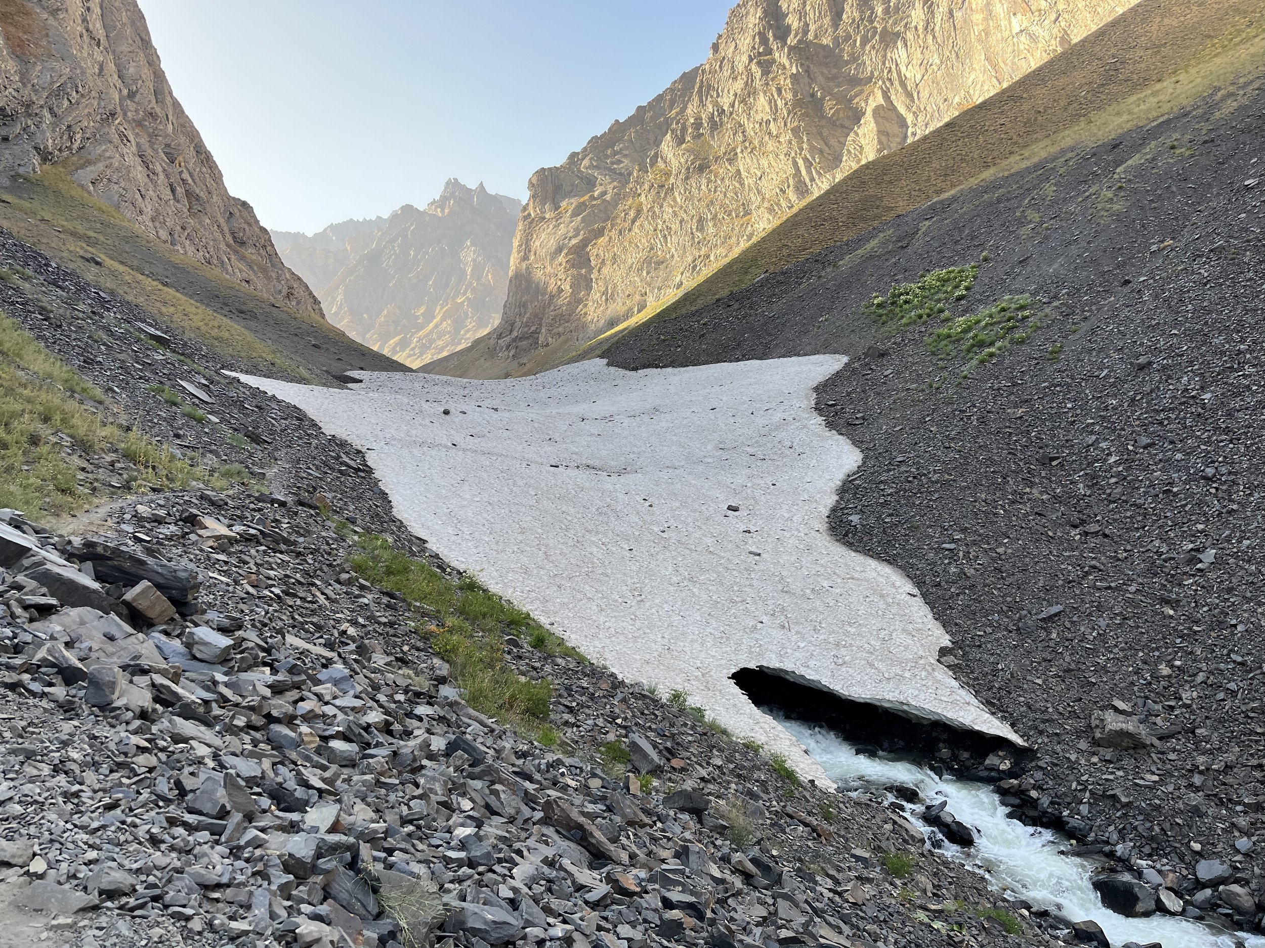
You will travel on the right bank of the river until 2940 meters when you get to a seasonal avalanche bridge. Satellite imagery shows that in most years it melts through by sometime late August or September. If it is melted through or looks weak, continue on the right bank. On the opposite side of the river is where you will find the 3070 meter camp and the 3080 meter spring, but you can also access these just upstream via the nearby footbridge without adding too much extra distance.
Just up from the footbridge on the left bank is — at 3100 meters — the largest shepherd camp in the gorge, notable for being constructed out of an old airplane that crashed.
I camped for the night at the 3070 meter camp, right below a good spring (and very close to a dirty small spring).
Water
I should have brought more water. There are no springs in the lower gorge. I eventually had to filter river water, and it had a slight aftertaste (alpine bog flavor). Filtering may not be an option as it gets progressively siltier throughout the day, and if it has rained or is in snowmelt season the river may be dirty. The first spring is at 3080 meters elevation, well over 1000 meters above the town of Rushon.
Options for a longer day
You could leave earlier in the day and get higher than the 3070 meter camp, but that will make for an awkward second day as your camping options for the second day are limited by high elevation and almost impossible tent-pitching conditions. I think a lazy sleep-in, a late breakfast and a slow start in Rushon are a good idea.
Day 2
On my second day I made it from the 3070 meter camp to a camp at 3900 meters. It was a slow day for me as I was still exhausted from my previous two treks. I had been hiking since the last week of May, and I think my body had decided my season was ending. So I took many breaks and walked very slowly.
From the 3070 meter camp I walked up to the nearby shepherd camp that had been abandoned the day before. I took lots of time to check out all the plane wreckage on display. After this I continued up the same side of the river (the left bank). This was a mistake. The terrain looked more gentle on the topo map, but the terrain was endless rolling rocks, thistles, annoying little streams with slippery rocks, and then a steep sidehill with more rolling rocks.
What I should have done after checking out the airplane wreckage is to go back down and cross the footbridge to the right bank, go up over open terrain until I intersect the main trail and then head up the gorge. From here, go past the small 3280 meter shepherd camp and cross the snow bridge nearby. Will the snow bridge be crossable when you are here? It was in mid-August 2023, but undated satellite imagery shows it melted later in the year. In this case you will need to ford the small river. There were bridges here, but they were long ago destroyed and exist only on out of date satellite imagery. If you don’t like the looks of the river, continue upriver over open terrain until you cross the tributary streams and the river gets smaller.
Once you are back on the left bank you will pass by the 3420 meter shepherd camp. In mid-August it was still being used, but when I was there the shepherds were up far up the hillside with their flock of goats and sheep. There are a smaller number of airplane parts here, notably a wing tip that is used as a corral gate.
After the 3420 meter shepherd camp the route alternates between open grazing terrain with no trail, multiple grazing tracks and sometimes one clear trail.
I camped at 3895 meters, but there are options below and above this. Check your map for camp spots. The highest camp spot is 4085 meters, but the 3965 meter camp is probably better.
Water
There are plenty of springs after the 3080 meter spring. You no longer have to do heavy water carries.
Day 3
On this day you will go through Odudi Pass. I left the 3895 meter camp at 7:30am. At 10:50am I was in a saddle that leads to the Zirdara Gorge. It was sheer ice and cliff drop on the other side (a 2B rate climb at minimum), so I went back down and headed towards Odudi Pass. I arrived at Odudi Pass at 11:45am (I could have been here an hour earlier without the side trip).
You will be on and off a trail until 4220 meters when the old caravan trail ends abruptly (or at least, I could no longer find the trail and there is no sign of it on satellite imagery). From here you are on rock talus, often loose and moving. At 4220 meters you have a choice: you can’t go straight up the ravine, so choose between the two routes on the map that rejoin near the glacier lake. I did the eastern route, and it was slow but steady. Lots of talus of various sizes and some steep uphill. To the west is an alternate route that I can’t comment on. I saw the other two hikers’ footprints come from this direction once I was above. That route on the map is best guess. Don’t follow it exactly.
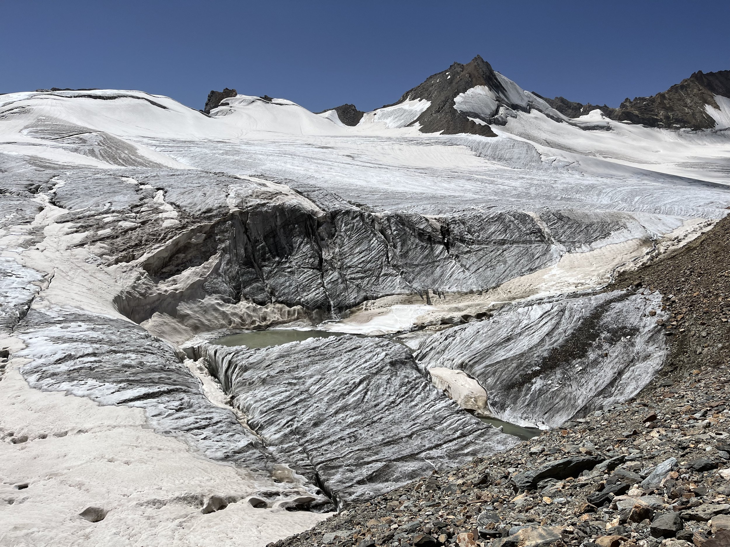
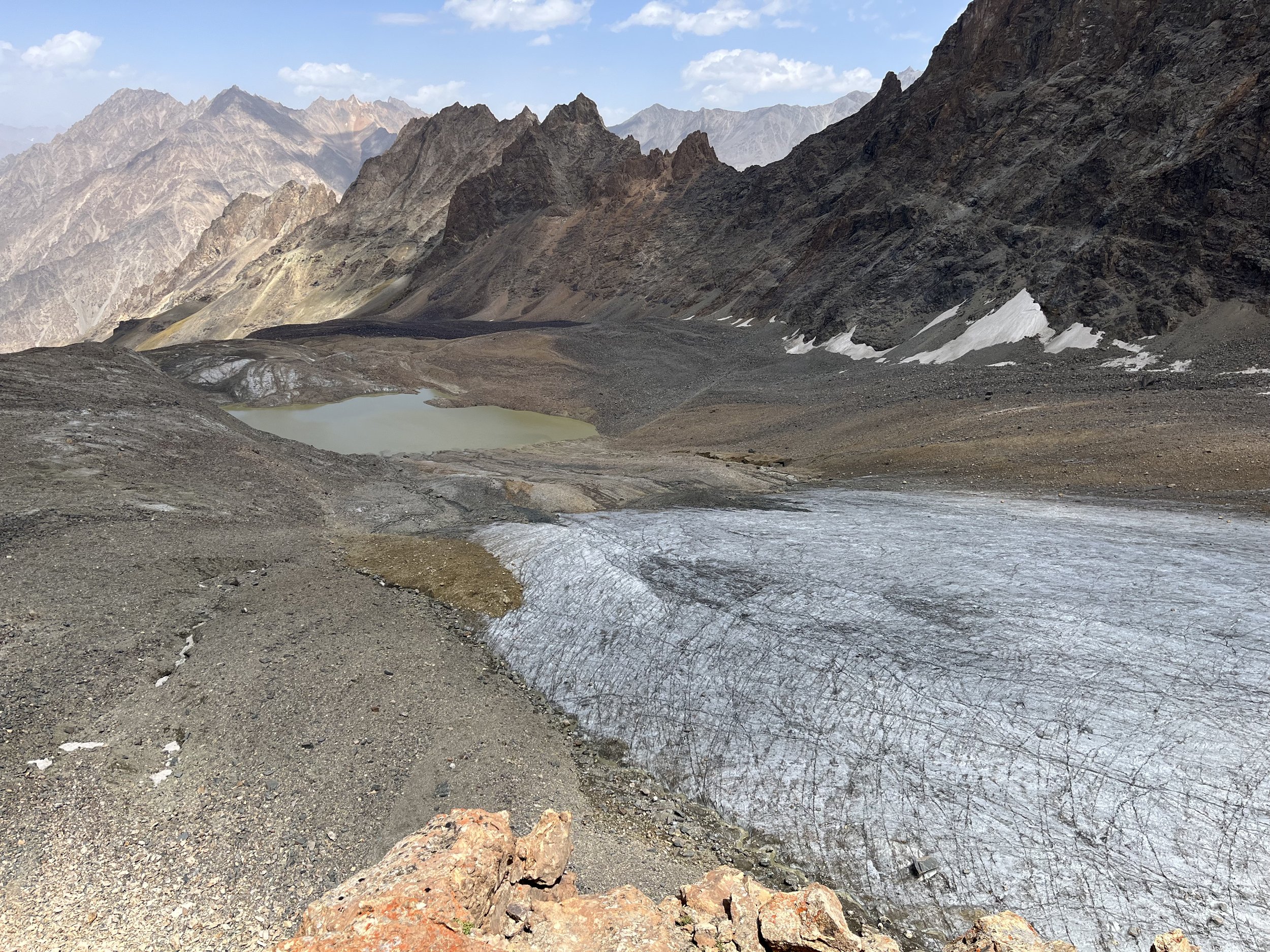
At 4355 meters you have a good viewpoint of the lake and glacier, and a relatively flat area to sit. From here you see the that you only have the option of going around the east side of the lake. You can’t stick too close to the lake as there is a mix of rocky moraine and barely concealed glacier under that. It is steep in some places and may be dangerous. Follow the route that goes up higher. You can safely cross the glacier that comes from the east and then along the edge of the glacier leading to Odudi Pass. You cannot under any circumstances be on this glacier (see photo below). Stay on the rocky slope and moraine. It is easier travel than it looks from below.
The descent from Odudi Pass is not steep, but the glacier is still dangerous. There are plenty of crevasses, and an icefall blocks you from going straight down the glacier. Basically, if you don’t have experience on a glacier, this hike is not for you. You can absolutely die a horrible slow painful death here. That being said… my trip was easy and safe. How so? I was here at the perfect time. Earlier in the season — maybe even just a couple of weeks earlier — there are crevasses that are open, but covered by a thin bridge of unmelted snow from the previous winter. You can fall through these. And then if/when you get fresh snowfall (usually later in September/October, but still possible at anytime), the new snow covers some of the small crevasses - but you can still fall into them.
But when I was here the glacier was bare. You could see every hazard (again, this can change overnight with snow fall). I first tried to walk down the center of the glacier, but was blocked by a very long crevasse. So I returned to the pass and went down the rocky slope next to the glacier. I descended to about 4440 meters and then got on the glacier. I moved laterally across the glacier (photo below) at about 4420 meters to a rocky area from where I was done with glacier travel. THE GLACIER MAY BE DIFFERENT WHEN YOU ARE HERE. DO NOT USE THIS AS INSTRUCTIONS FOR SAFE PASSAGE. This is for consideration by hikers who know what they are doing on glaciers.
On the map you can see a route restarts at about 4400 meters on the other side of the glacier. This will be on open rocky terrain. At about 4300 meters you will come to a camp that was once used by Soviet prospectors. There is a prospecting dig for quartz nearby. You will also find a rock wind break, but not high enough to do much. There is a nice viewpoint close by as well. From the viewpoint you can see that is it possible to retrace your steps about 100 meters, descend a steep scree slope, cross the lower glacier and go around the east side of Barghuy Lake. Or you can continue on the route marked on the map. This route will go past water and some better camping spots.
The route marked on the map that goes to the west of the lake has two brief steep sections. The first, right after you pass the prospector’s quart dig, is a steep section with snow and ice. I did not put on my crampons for this section. Later, right before the lake, is a steep chute with some loose rocks. But I walked down it using my trekking poles and did not need to use my hands.
I descended straight from the lake directly down, and it was a miserable descent — safe but very steep, slippery and with rolling rocks and moving talus. So instead, follow the route on the map where you will eventually get on the old caravan trail. Based on satellite imagery, the trail is clear for a few hundred meters before you again on open terrain. Your destination are the springs at 3785 meters. The water here was clear and tasted great.
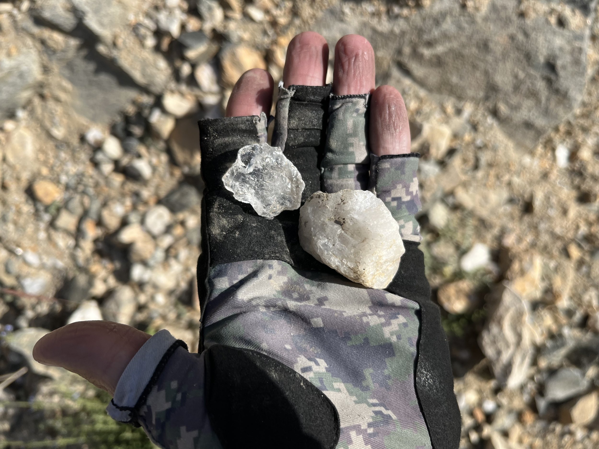
Nearby the springs is the Maftul shepherd camp, formerly a camp for quartz miners. Quartz crystals were mined here for use in electronics, but technological advances by the 1970s replaced natural quartz crystals. I did not go to the actually mine/quarry site, as I was running out of daylight. But I did find some quartz scattered on the road as I descended.
The shepherds had gone down for the season, and their hut was abandoned. I was here at 3:00pm, and was still motivated to descend the mountain. But even if I was here later in the day, I would not camp at Maftul if you have an inflatable mattress. There is old industrial and shepherd junk everywhere on the ground: metal wire, barb wire, broken glass and unidentifiable sharp metal objects.
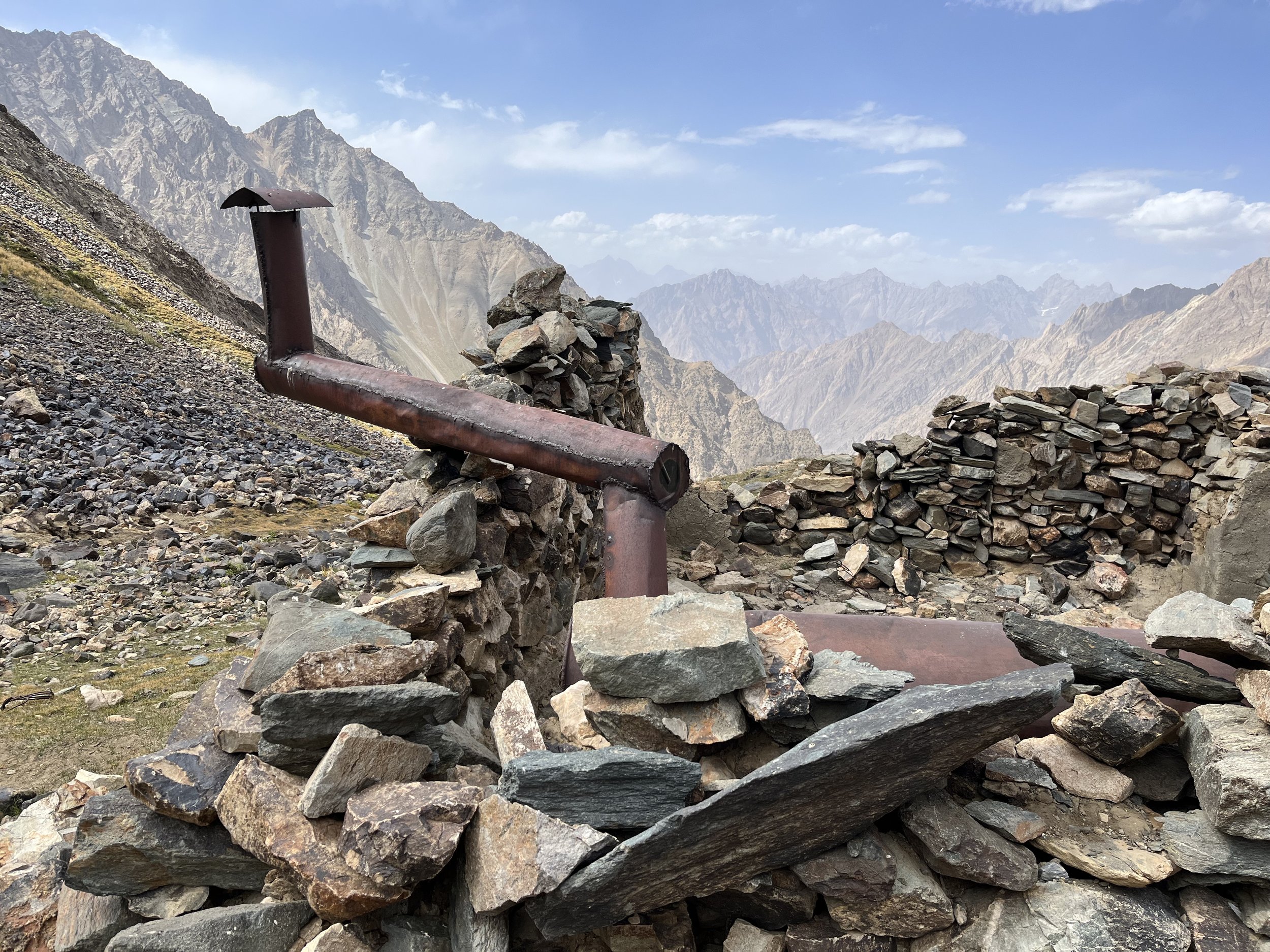
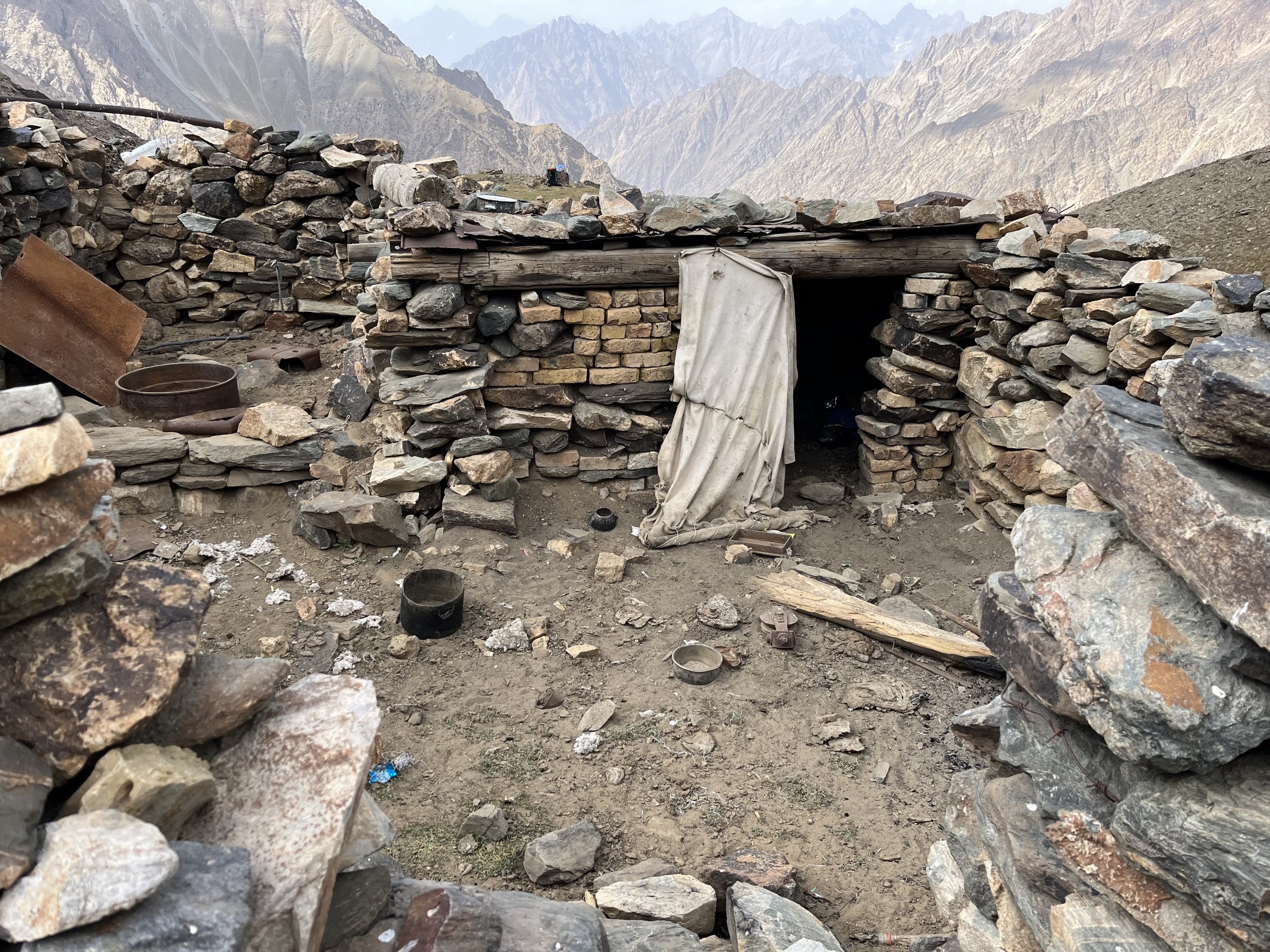
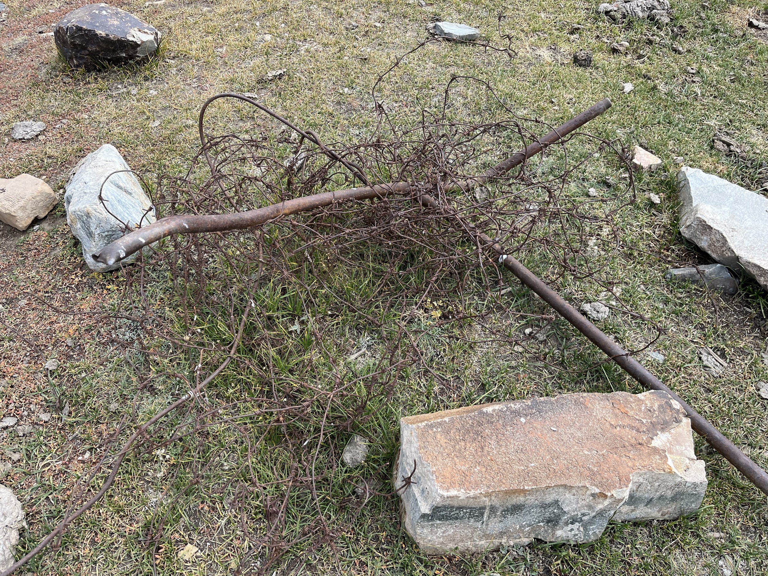
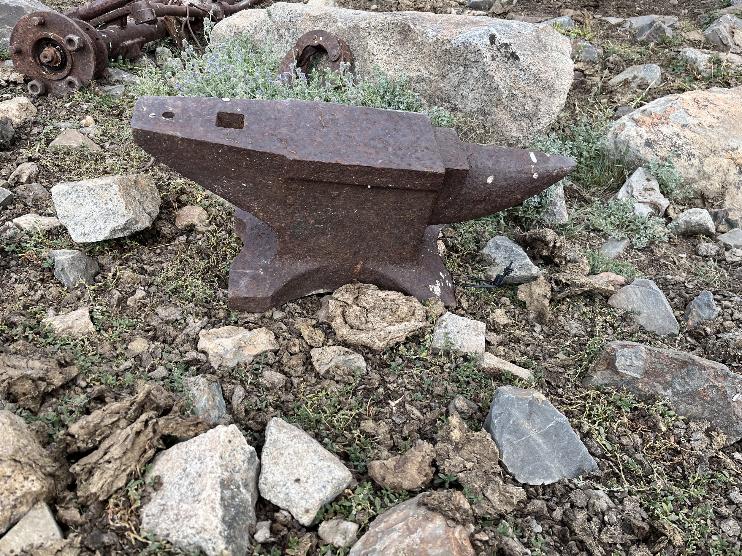
The old mining road is interesting. Some sections look like a truck had just recently driven on it. Other sections have been eaten by falling rock and scree. You will also notice that the livestock and shepherds are taking shortcuts down the hill. This is all on the map now. The simplest advice I can give is to stay on the road until about 3430 meters and then take a downhill shortcut as the road is eaten away at the next switchback. Then you have the choice of staying on the steep shepherd trail (fast) or the gentle downhill of the road (slow). Then at 3230 meters just take the shortcut trails all the way straight down. It is possible to stay on the road, but much of it below is full of rocks and brush and is not as nice as above.
Descending to the Darai Khanil Gorge you will see the Khanil shepherd camp to the side. There were no shepherds or livestock in sight when I was there. But they may just be uphill out of sight (or gone for the season). At the bottom of the gorge you will rejoin the road (now clear) and make quick progress. You will pass by two very good springs before you get to the livestock corrals by the Zirdara River. The footbridge here over the Zirdara River is just upstream.
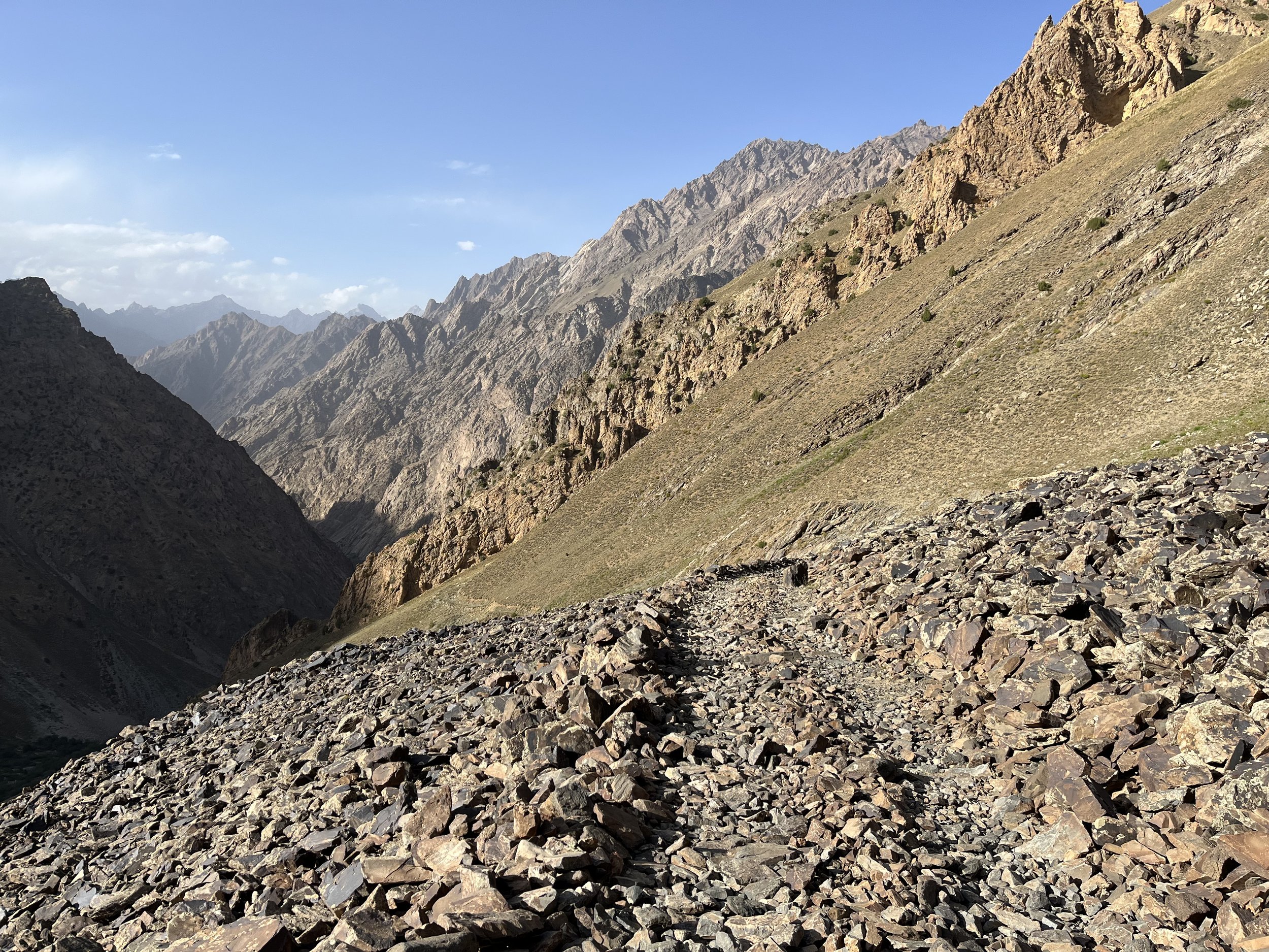
After this crossing you will again get on the old road, and it alternates between clear old road and a small shepherd trail (see photo below). This is also the beginning of your GPS position being inaccurate. For me the signal was bouncing around and occasionally showing me in random places far from the trail.
Your goal for camping should be the Vokhchi Chashma Springs at 2675 meters. Any place you stop to camp before this will not be a very good spot for camping. At Vokhchi Chashma you have spring water, flat grass to pitch a tent, good spots to sit, and a quiet scenic area.
Day 4
This day was an easy descent with nice mid- and low elevation scenery. Your GPS will get even worse as you descend. In the lower parts of the gorge some short sections of trail are in the river bed, meaning that high water washes away any sign of the trail in these parts.
Khughaz summer camp has a small house, several small barns and a corral with a tall snow leopard-proof fence, there is a nice waterfall just below (Qagobegi Uav), I had tea with a farmer in the two-house hamlet named Rvan, I stopped in Zong to see the ruins of the old village, I finally met some livestock herders and their goats near the very scenic Tsrag confluence, and when I arrived in Motravn I somehow totally lost the trail and ended up in someone’s front yard (friendly women helpfully waved me through).
From Vokhchi Chashma to Motravn took four hours, but that includes a tea break, chats with locals and some photography/video stops. It could easily be done in less than 3 hours if you are in a hurry.
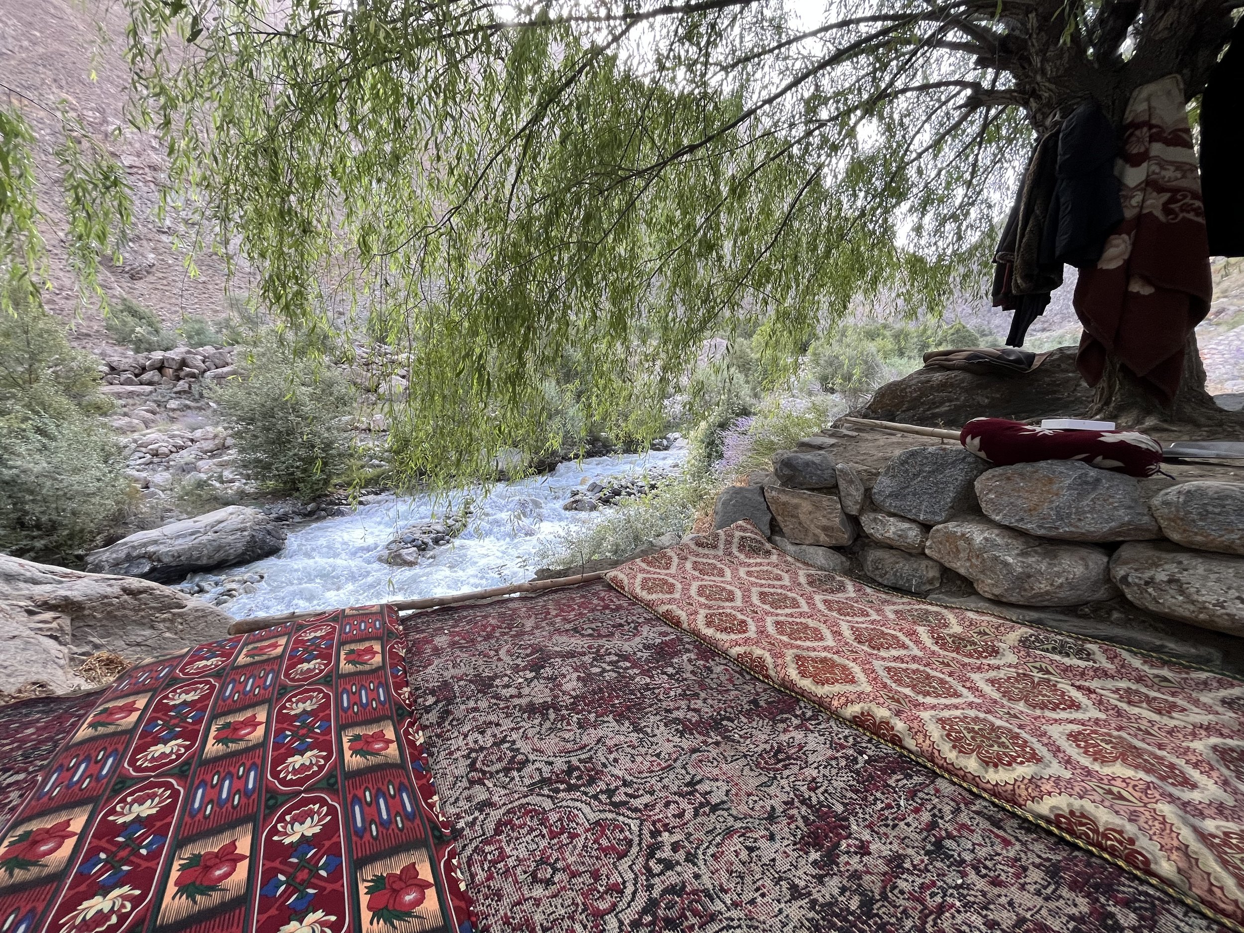
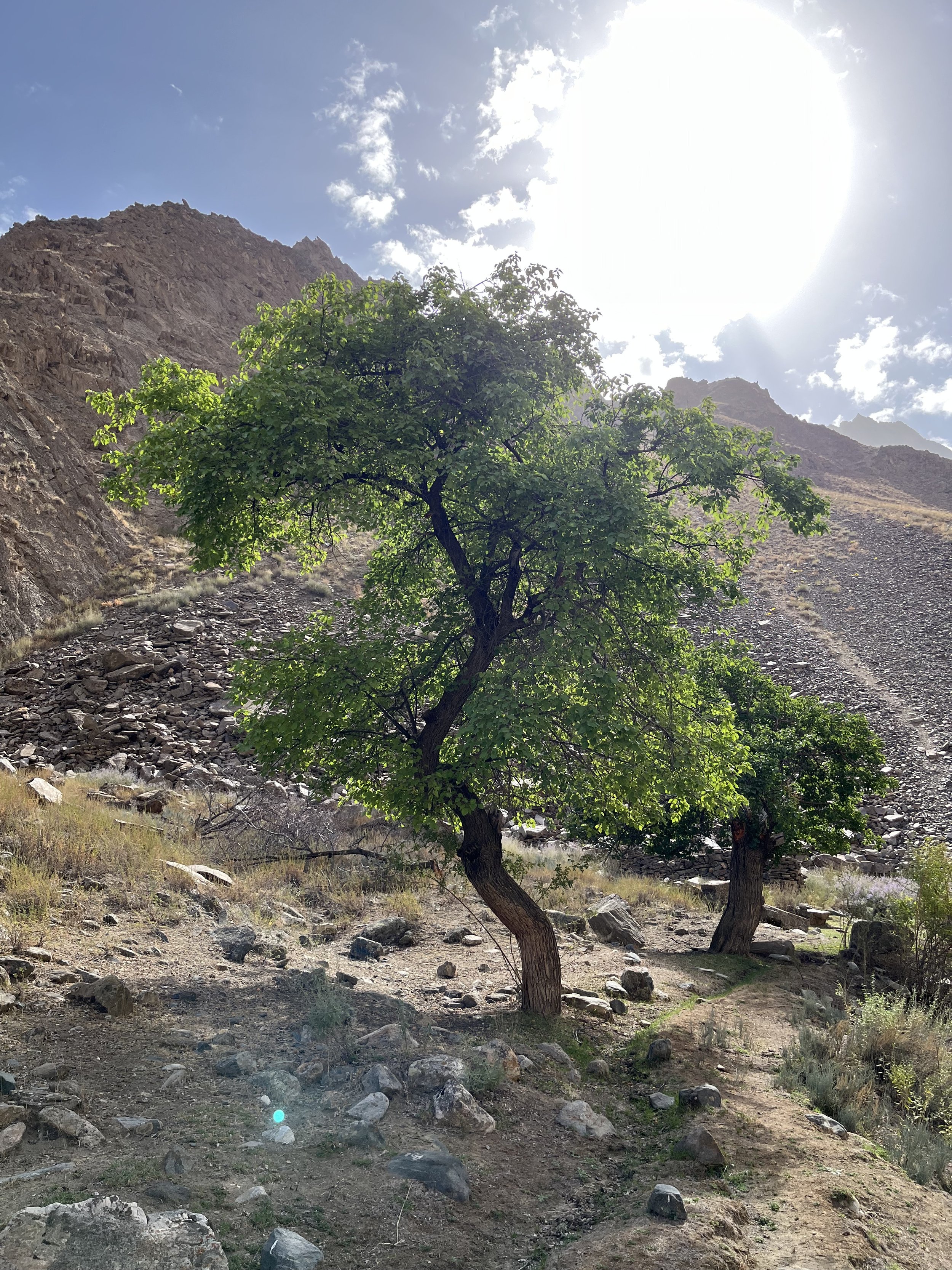
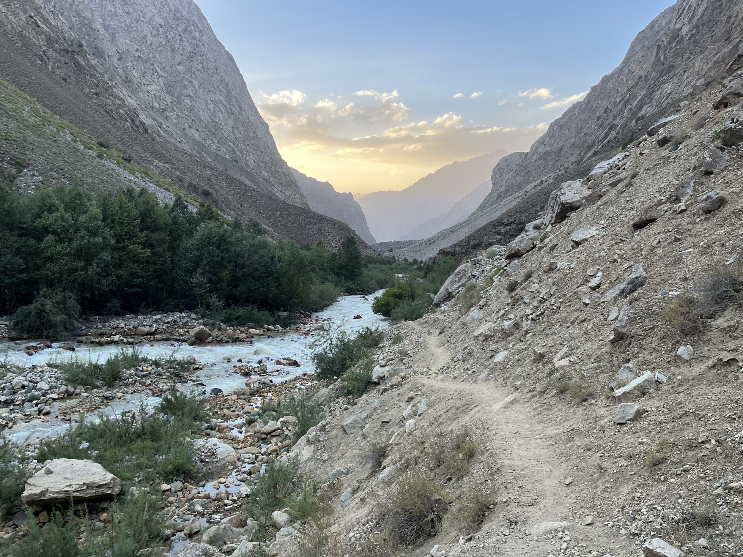
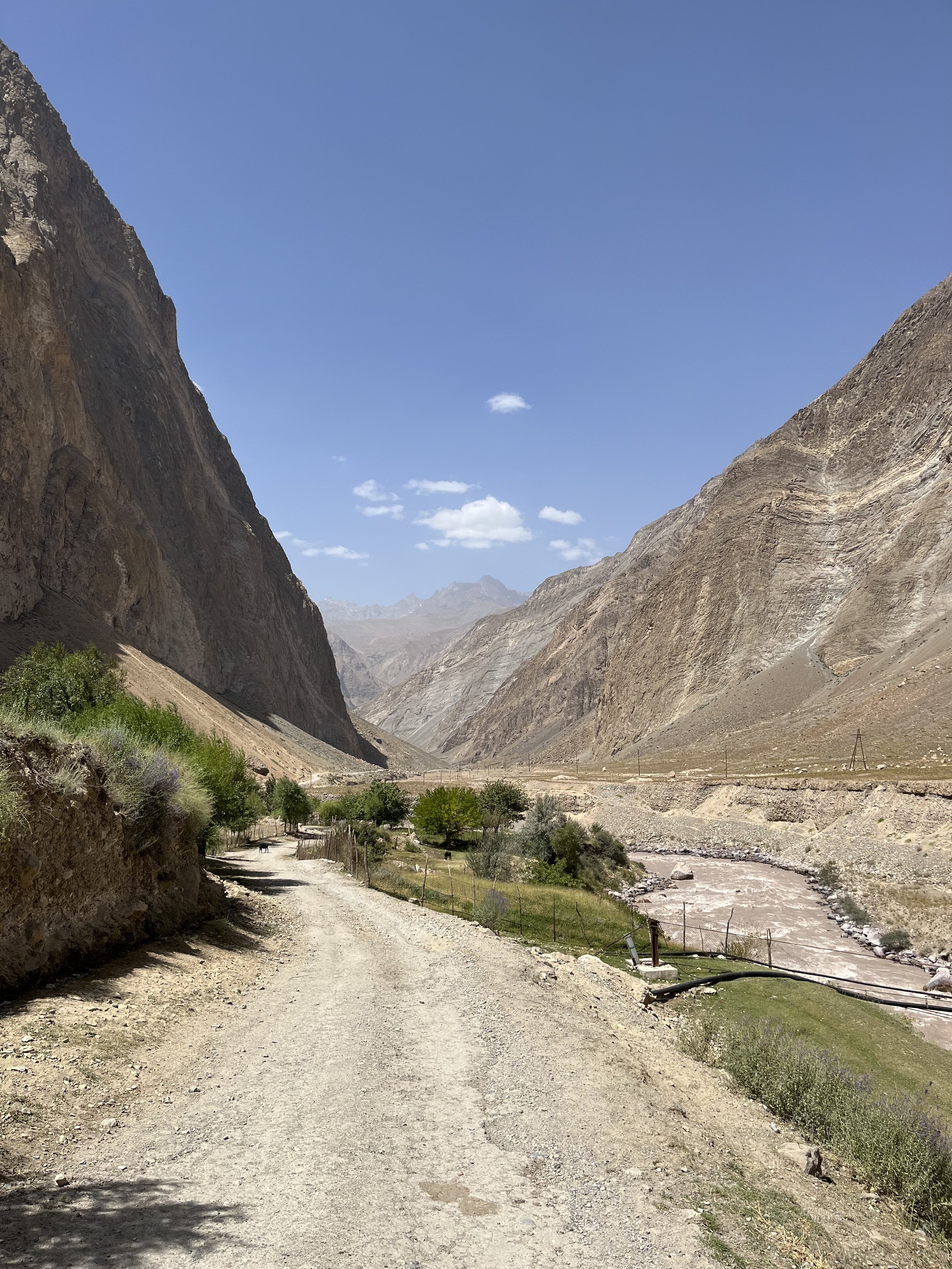
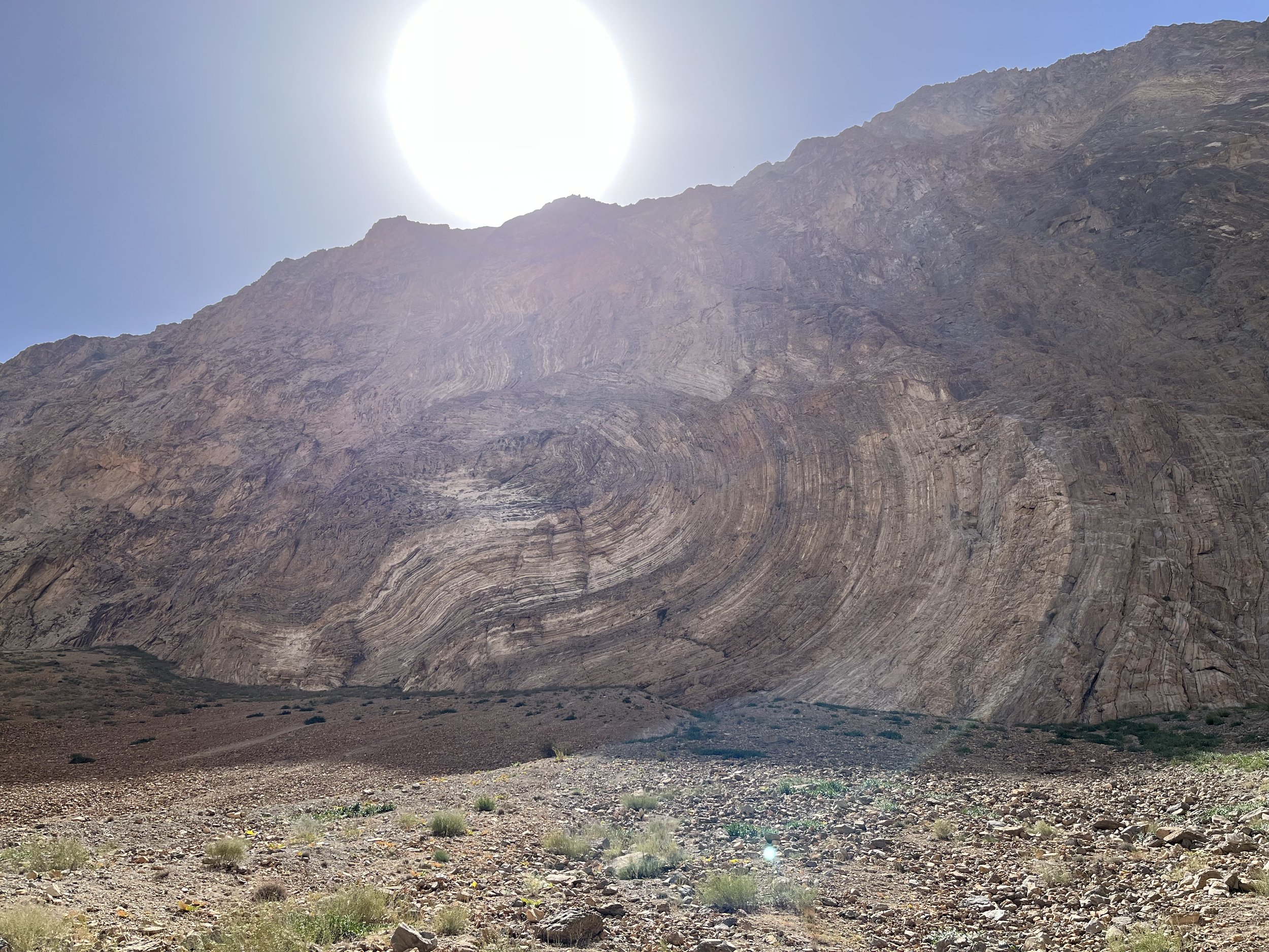
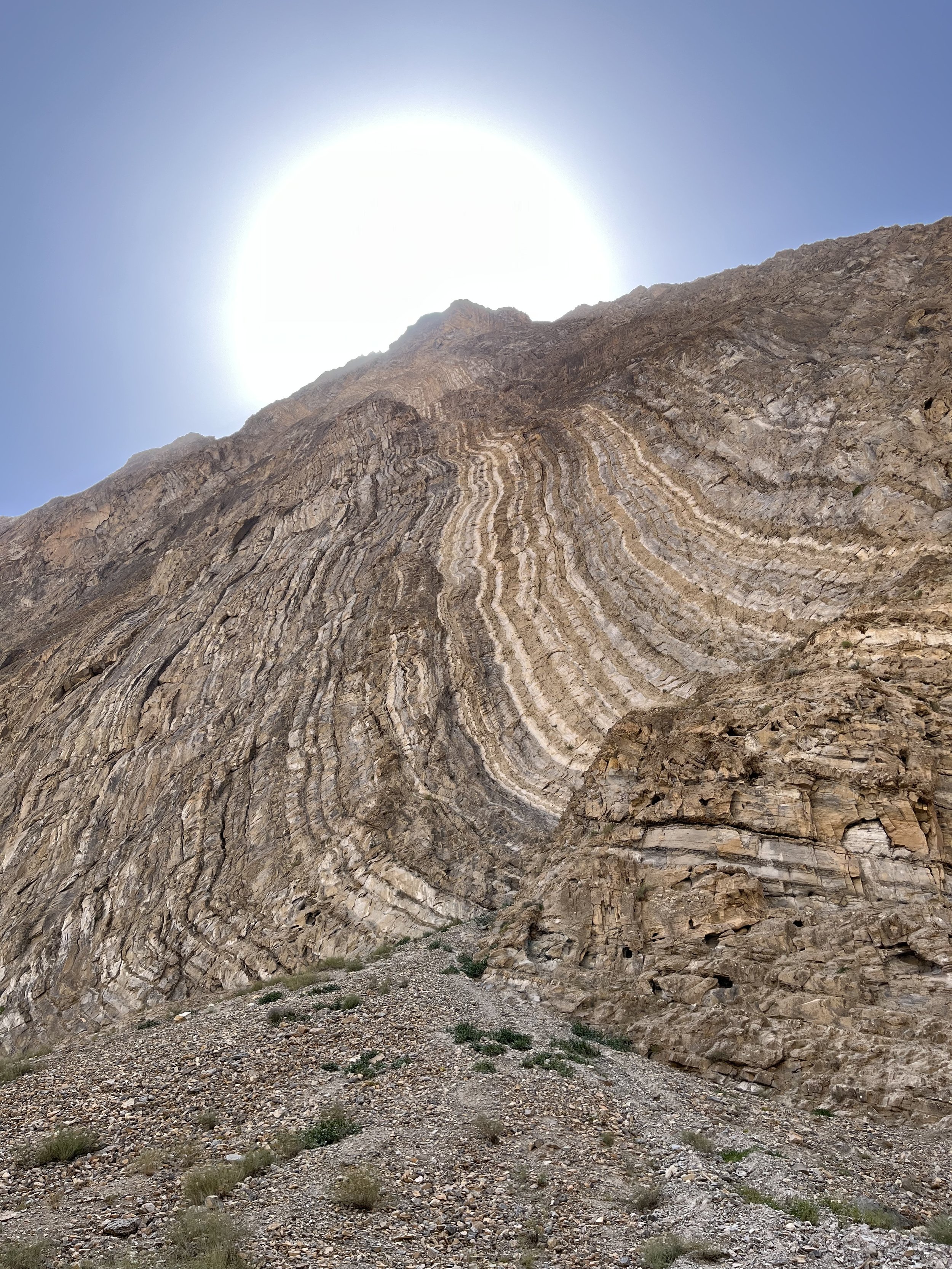
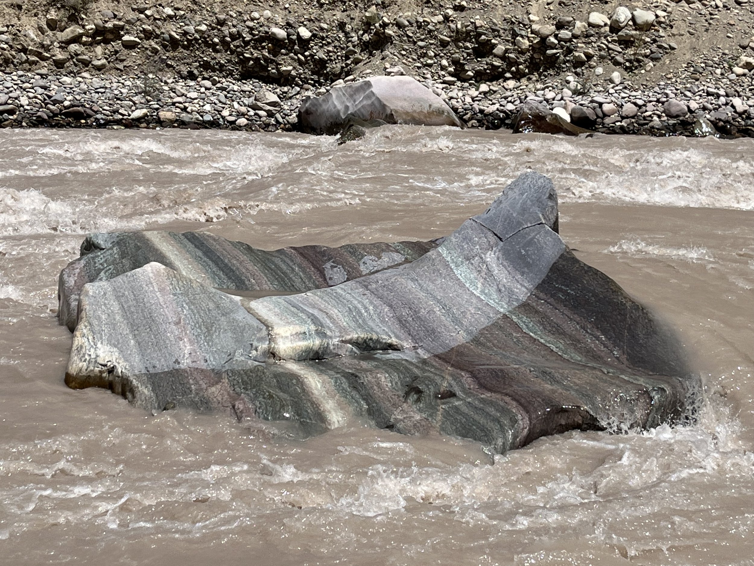
The time left on my visa was running out, so I walked two hours from Motravn along a scenic canyon car road (see photos below) to the main highway and started the very long process of hitching rides back towards Dushanbe (it took me 24 hours).
If I had further explored the Yazghulom Valley, I likely would have continued on at higher elevation. I would have, at the Zirdara bridge, turned up the Zirdara Gorge instead of going down the Motravn Gorge. My destination would be the Zirdara-Sayegighar Pass and then a descent to the village of Andarbak (where hopefully a resupply is possible).
2025 Update: After the Pamir Trail team hiked this route in 2024 they added it to the official route. You can make use of their trip report and other info.

