Shahriston and Ovchi
Shahriston District and Ovchi
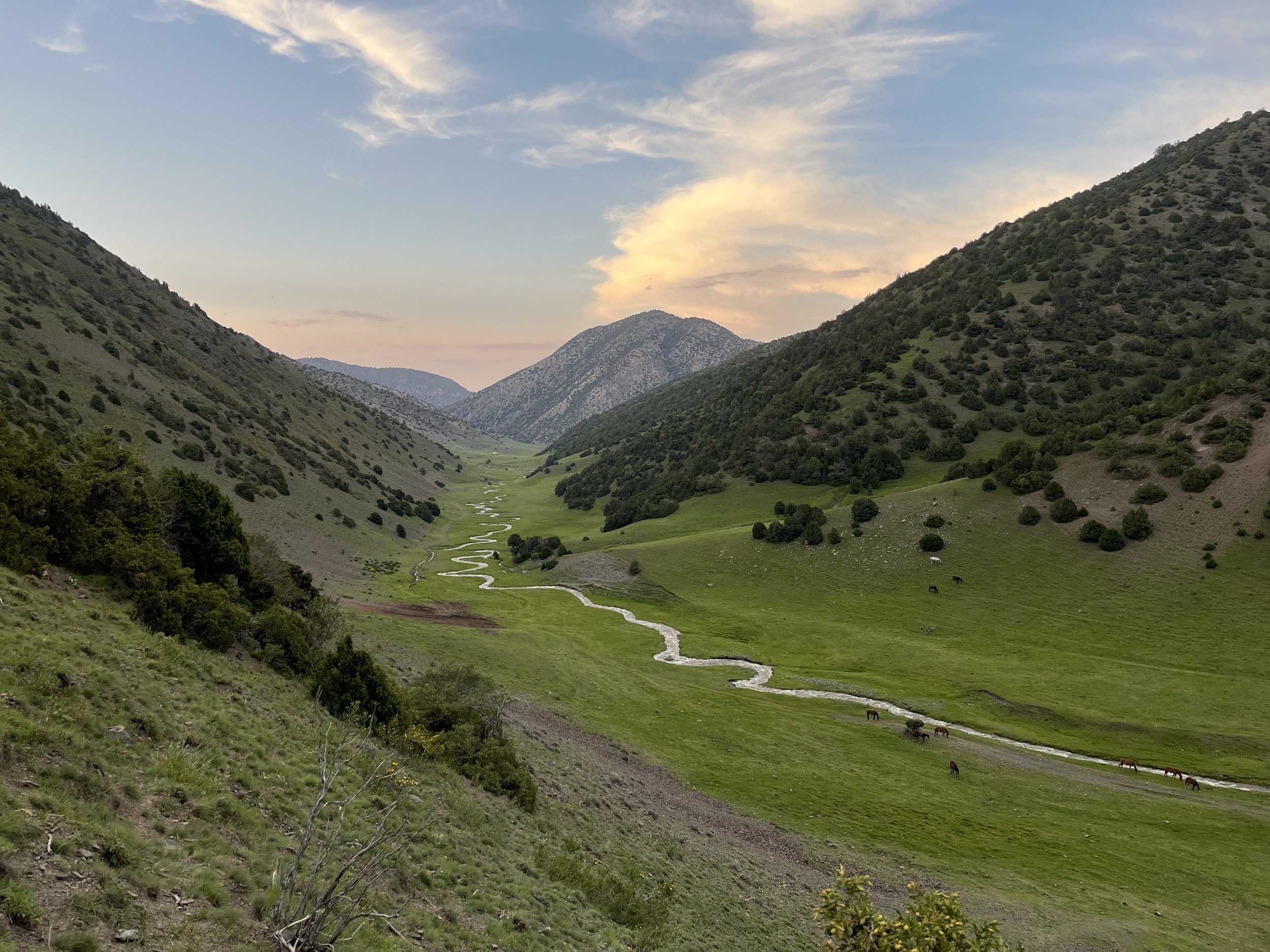
North of the Turkistan Ridge is the Shahriston and Ghonchi district, both of which include high mountain zones. Shahriston is also a town in the center of the district, but many people also know “Shahriston“ as a mountainous recreation and picnic area, and as a stop on the Dushanbe-Khujand highway that is popular in the hotter months. Ovchi is a village in the neighboring Ghonchi district, and the people here have agricultural and forest rights to the mountainous areas nearby.
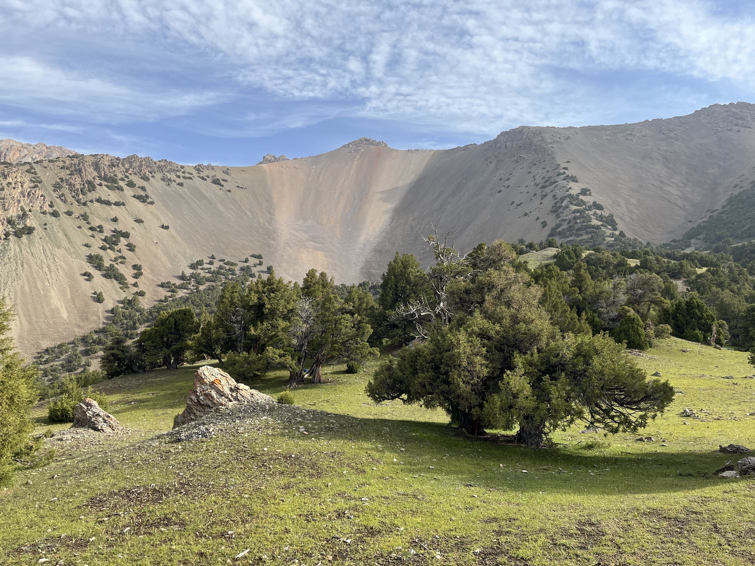
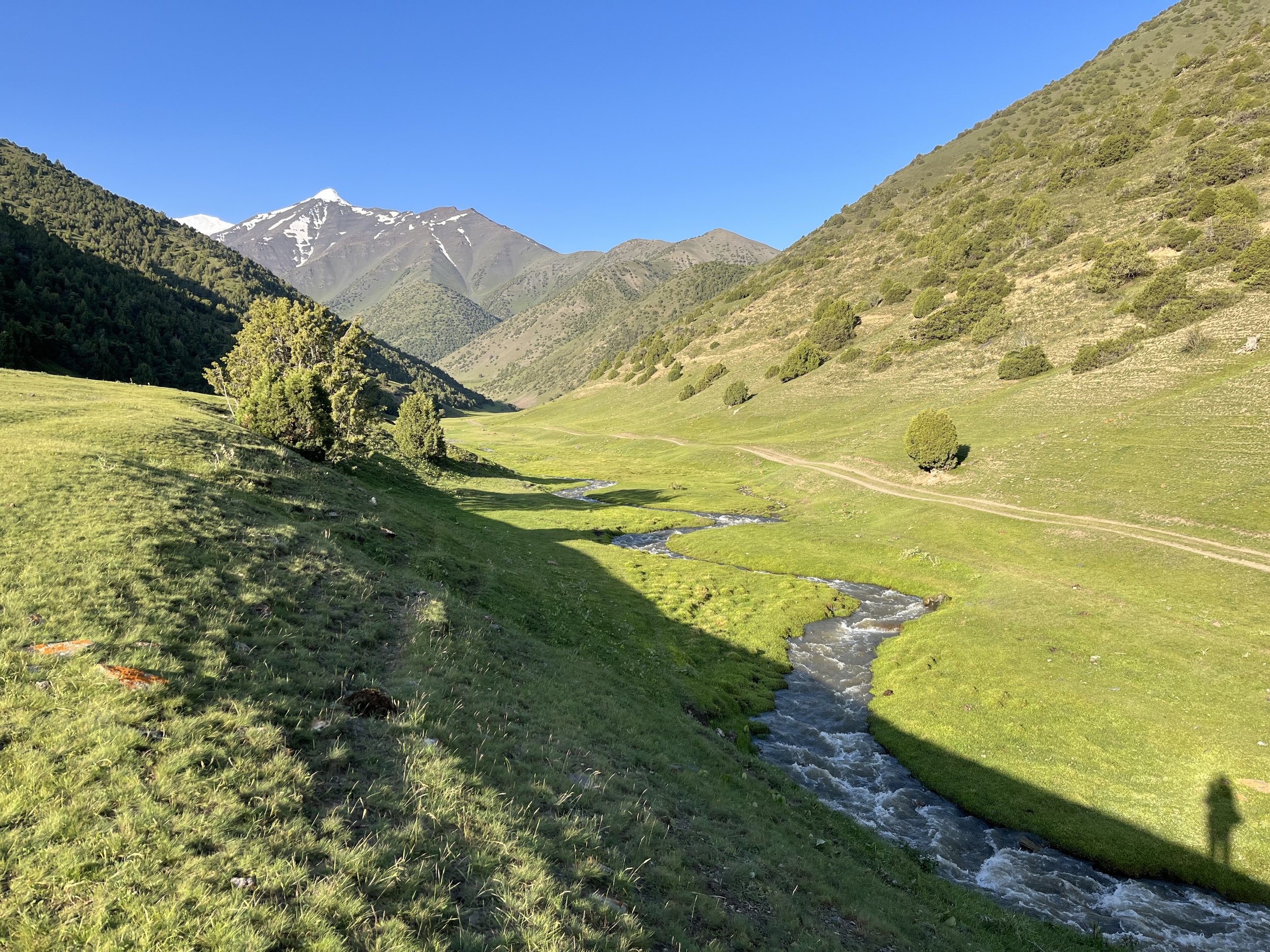
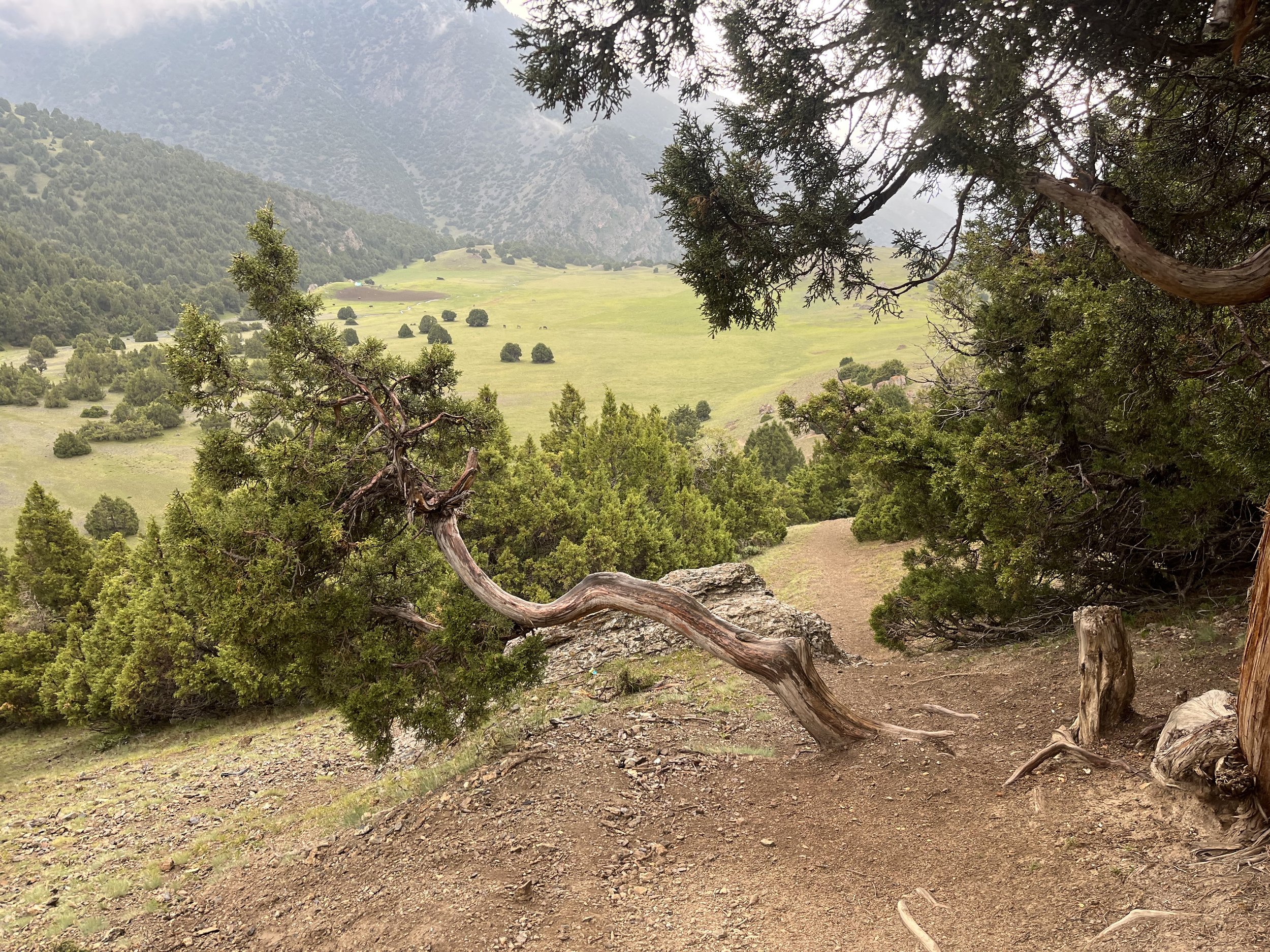
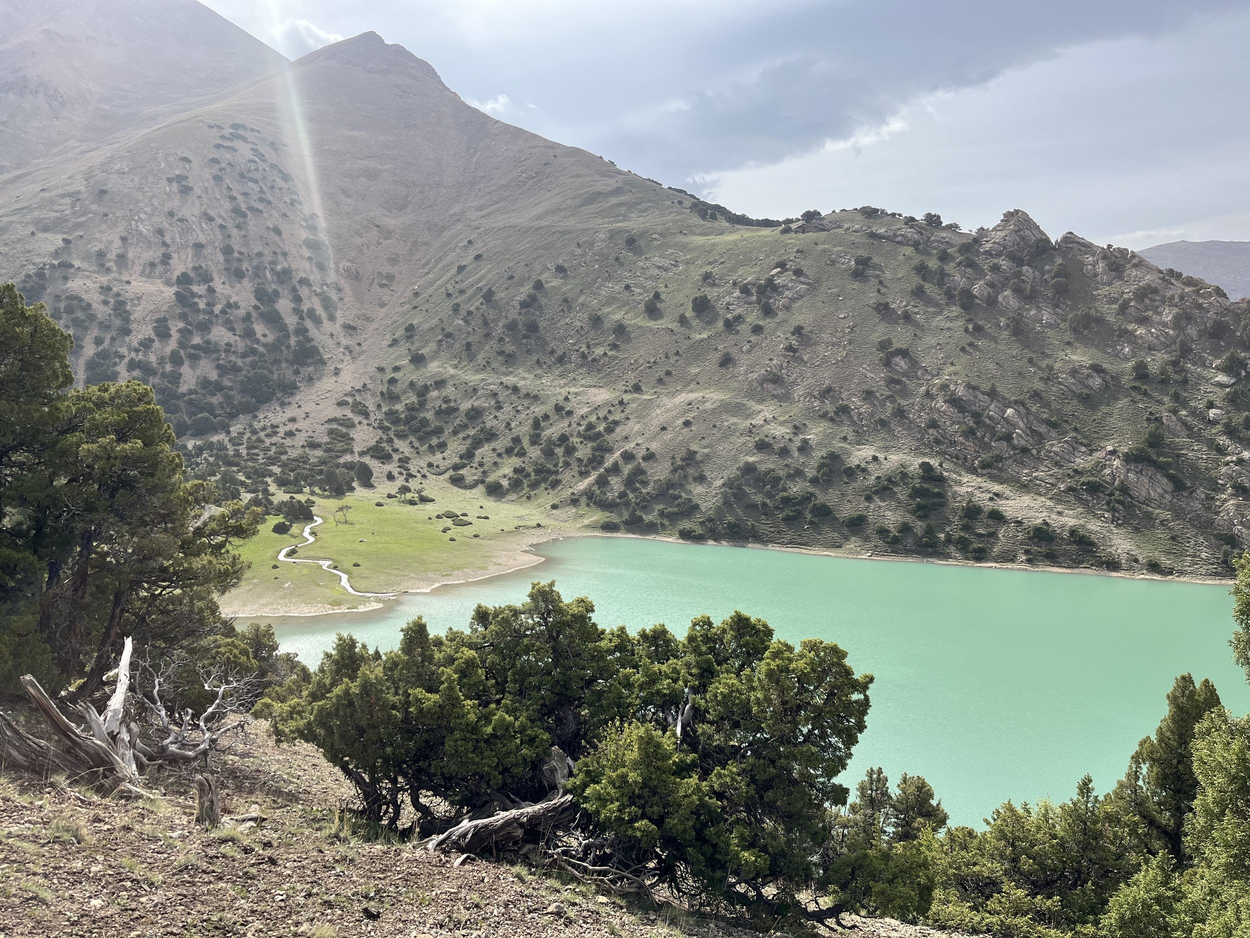
View the slideshow below to see what this area looks like (click the arrows on the side to scroll through the photos).
The photos above were taken between June 9-12, 2022. Later in the summer will be less green, but also less rainy (I had short periods of rain, including heavy rain, twice per day on my hike).
Suggested Treks
If you read the transportation instructions it becomes clear that it is easier to start from the Shahriston side (rather than the Ovchi side), with Ohtangi Resort as a good place to start hiking from. If you want to hike starting on the south side of the Turkistan Ridge, then you can choose from Putkhin Pass, Rarz Pass, Kani Pass and Veshab Pass. Veshab Pass is a road, Kani Pass is a popular shepherd route, and — based on satellite imagery — Rarz Pass seems to have a faint trail going through it and Putkhin Pass is open terrain at the top that may be challenging.
I, personally, would choose the roughest option of Putkhin Pass as I could start walking from the town Ayni (very easy to reach on the main road) and it would give me a more complete hike of the Juniper tree jungle (as it is farther west). The safest option for a hike over the Turkistan Ridge would be Kani Pass (not counting the road options of Veshab and Obburdon Passes). Download this PDF for a view of the suggested trek.
Within this PDF you can see the easy route. Start at Ohtangi Resort and follow this route: Oykul Lake —> Argli Pass —> Kani Pass —> main road along Zarafshon River.
Permits and Fees: There is a gate in the village of Ovchi (open and unmanned when I passed through on foot). This is for controlling the forests and stopping outside firewood cutters. You should be able to go right through with a smile and a wave. On the Shahriston side there is a gate after the Ohtangi Resort (a large hotel and recreation zone that caters to local tourists). This gate is closed and manned by a forest ranger. After the gate is a popular picnic area that people drive their cars to. You need to pay a fee to get through the gate. I’m not sure what the fee is, as I caught a ride near the Ohtangi Resort with a group of local men who had special unpaid access to this area. If they ask you where you are going at the gate, say “Oykul“ (that’s Oykul Lake, a popular hiking destination). Say the same thing on the Ovchi side, as everybody seem to know the lake.
Restricted zones: Look at the map. You can see where the borders with Uzbekistan and Kyrgyzstan are. For Uzbekistan it’s easy: stay on the east side of the north-south highway. For the eastern side, don’t go into the valley that runs parallel along the border, and on the Turkistan Ridge, don’t go any further east than Kamodon Pass. This areas are very easy to avoid if you follow the itineraries below.
There is a Tajik military base along the main north-south highway north of Shahriston Tunnel. This base sits right at the entrance to the Kusavli gorge. I’m not sure if the small road that goes up this gorge goes through a military checkpoint or not.
The western part of Shahriston’s mountain zone is the Kusavli-Soy Nature Reserve. I was in this preserve (after hiking over a ridge) and I only saw shepherds. I can find no information on any permit being required to visit.
Note that the entrance to Jumavli gorge has a tall fence and a locked gate. A shepherd offered to open it for me, but I did not ask why it was locked (it may just be to stop firewood cutters or to keep in livestock).
Shepherds and Dogs: There were many shepherds in early summer thanks to the rich grasslands. The dogs are unfriendly; the shepherds are friendly. I was confronted by dogs several times, but they left me alone after I threw a few rocks their direction.
Local Tourists: On the weekend you will be sharing the picnic areas with people from towns and cities nearby. Two different groups invited me to join them. Some of them drink vodka, some don’t. The ones who do will offer you a shot or two… or more.
Accommodation: Ohtangi Resort (also spelled Okhtangi) is a local-style resort. Local people come in large groups, having reserved well ahead of time. Many are there to party and be loud. The accommodation is not the type where you walk up and enquire about a room. But it never hurts to try… There is a security guard at a gate that you need to talk to first. If you don’t have a reservation he will have to call the manager and figure things out.
You will need to sleep in a tent. This is easy as the wide open terrain is grassy and sandy. There are many good spots to pitch a tent.
Transportation: On foot, motorcycle, bicycle or jeep you can access this region from the south (the Zarafshon valley). See our article on how to get over the Turkistan ridge, and follow the directions in reverse. By car you can drive quite a ways into the mountain areas from the north, as the terrain is wide open and the roads easy. This, of course, requires a private driver.
If you are doing regular shared-car transportation, you will be coming from Khujand, Dushanbe or Panjakent. Read our transportation instructions here.
Map: We have edited Open Street Maps in this area extensively, and we will continue to add details to this area. If you want a map app that is up to date and shows important information (e.g., shepherd camps), then use OsmAnd Maps.
Look at the area in OsmAnd Maps and you can see what is a road, what is a rough dirt track, and what is a trail. IN general you can wander around in the easier terrain. You don’t need to stick to an exact trail or route in many areas on the north side of the Turkistan Ridge.
Note: I have hiked through this area, including the Kusavli gorge, Tegana Pass, Qirq-Tegana gorge, Tuyatosh gorge, Oykul Lake, Argli Pass and the Argli Valley. This areas are all very easy hiking. I have not been through the more difficult Putkhin Pass or Kani Pass. For info on those passes and others along the Turkistan Ridge, read this guide.
