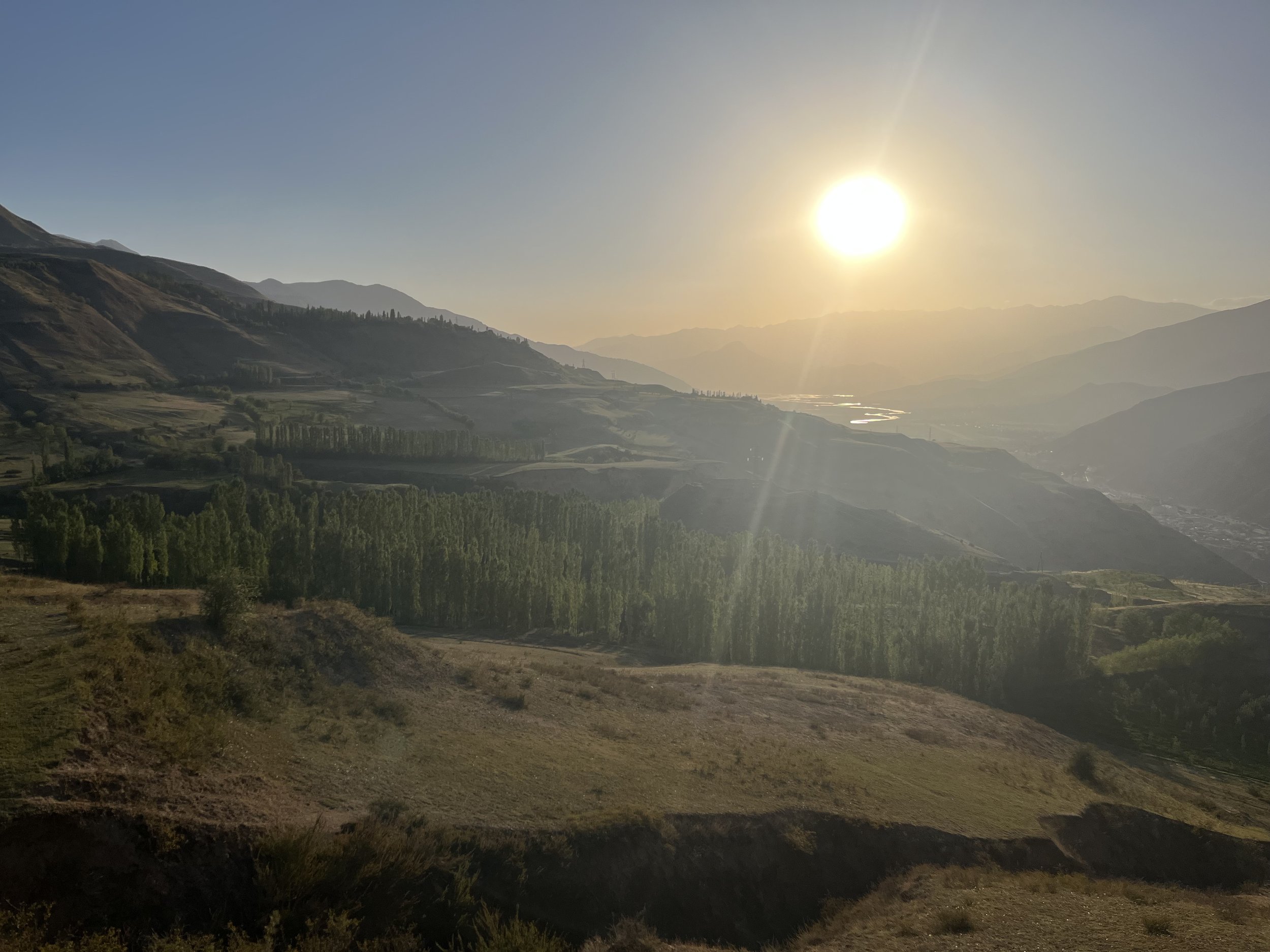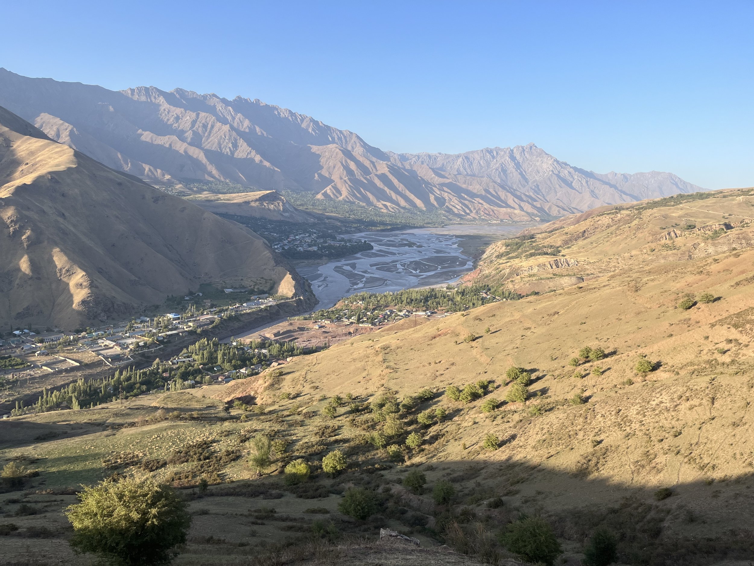
Section #1: Gharm to Kamchirogh
Approximately 20.5km (13 miles). Elevation gain: 1215 meters (1320 meters to 2535 meters).
This route is a mix of trail and dirt roads - cars will be rare on the roads.
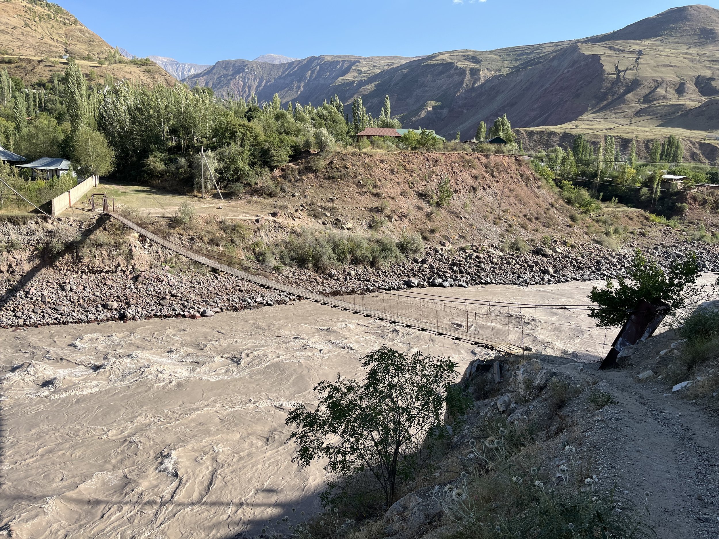
The suspension footbridge across the Surkhob River is well built and I expect it to be a permanent structure. But if not, there is a road bridge just downriver. Immediately the uphill hike begins. At this starting altitude (1320 meters) and steepness, you will want to start very early in the morning or after the worst of the midday heat. The later in September your start, the better. And make sure to start fully hydrated and with enough water to get to the first water source. For me (150lbs - 68kg) during the first week of September, I should have started with 3 liters of water, or 1.5 liters and then asked for water in the village of Khost (ask any man or older boy for help with this - just wave an empty water bottle). Asking for water is normal, and happily providing water is a universal practice in rural areas - but man-to-man (women can ask anybody). As a male, the only women I talk to in this region are elderly grandmas.
You can follow the GPS track through the small village of Khost (the people here were friendly to me and offered a place to stay for the night), or bypass it on the road. If you start late in the day, a good place to camp is the flat area just above 2000 meters (an area just north of the GPS track). This is flat, and isolated - so you won’t be bothering anybody’s privacy or have your privacy disturbed (aside from livestock and horses that roam freely). At 2060 meters is a well-irrigated flat area (name unknown) full of farmers and shepherds in summer huts and big tents. if you camp in this area make sure to not be camping in line of sight to a camp with women or girls. There is plenty of water in this area. Go find a source spring to get the cleanest water.
At 2430 meters are the Sari Ju Springs (Sari Ju Chashma). You can get spring water straight from a pipe or spring pool here (a shepherd told me it’s OK to climb over the goat-proof fence to get the best water). No need to filter or treat this water. Other water sources on the map may not be reliable.
Kamchirogh is a wide and relatively flat area (average elevation about 2500 meters). This area has lots of ground water seeping up and there is a wet meadow in spring and summer. By the first week of September there were dry patches of meadow next to the main stream that would make for a nice flat and soft camp spot. There is a very good spring in this area (“Kamchirogh Spring“ on the map, but possibly known by a different name to locals). In September expect a few shepherds and their livestock to still be in this area.
Livestock and wild animals: Both shepherd boys and villagers in Khost warned me about bears. I did see plenty of bear scat as far uphill as about 2500 meters. They are in the gorges and brushy areas eating wild fruit and berries (plus lurking at night looking for a stray lamb or goat). Bears will be a consideration for the eastern sections of the Bactrian Trail. Don’t worry, they are usually very shy and are scared of people.
Aside from domestic livestock, I did see a few guardian dogs at shepherd camps (midday sleepy dogs that ignored me). I met a flock of about 1500 sheep and goats going downhill. The shepherd leading this flock said that throughout September more and more shepherds and flocks will leave this area as the grass is mostly finished. There were a dozen dogs with the flock and they were very friendly (dogs on the move, dogs in their summer pasture, and dogs protecting a camp behave differently). The senior shepherd was far less concerned about bears than were the villagers and day-shepherds below. This is common throughout Tajikistan: the more experience a person has living and working in the mountains, the less worried about bears and wolves they are.
Random info of interest: The older shepherd I met told me that this area was popular with local Russians for weekend hikes during the Soviet period. He said that the area known locally as Kamchirogh (Kamchirak on old Russian maps) is also referred to as “byvshaya stantsiya“ in Russian (“former/old station“), possibly an abandoned weather observation station or outpost (there are plenty of these in the mountains of Central Asia).
Old Russian maps list the mountain ridge you are going up as “Peter the First Range,“ named for a Russian tsar. The locals say “Qarotegin“ mountains for the ridges on both sides of the Rasht Valley, and the new official government name is “Rashton“ mountain range.
The locals: super friendly and wanting to be helpful. You will be the first tourist they’ve seen in a long time, so they’ll be curious. You’ll get the usual “Ot kuda?“ (“[where are you] from?“) in Russian or something like “Az kujo?“ or “Ay kujo?“ in Tajik (“[where are you] from?’). Then they’ll ask where you are going. I thought Qarokul Lake at the top of the mountain would be a good reference (the official new name of Khovarkul was not recognized by any of the locals I met). But the boys below did not know of this lake, and about half of the old villagers knew about it. But 100% of the shepherds above Khost knew about the lake.
Next section: Kamchirogh to Dashti Ghurk.

