Section #2: Kamchirogh to Khovarkul Lake
Kamchirogh to Khovarkul Lake: 9.5km (6 miles). Elevation gain: 2500 meters up to 3145 meter pass, down to lake at 2960 meters (645 meters up, 185 meters down).
After Kamchirogh I saw no more sheep or shepherds. There are many abandoned shepherd camps, and the grass is almost totally gone. The later in September you are here the fewer people and animals you will see. All I saw was one herd of horses.
There are many livestock trails up here and a few vague sections, so carefully follow the GPS track. But the terrain is very open - you can choose your own route in some places.
At and near Kamchirogh there has been some new road building. The satellite imagery is out of date, as is OSM mapping. But follow the GPS track and you will be fine.
Right above Kamchirogh I found the terrain to be a bit ugly - weedy and dusty. But it improved as I went uphill. By the top it was nice terrain again.
Leave Kamchirogh with enough water to get to Khovarkul Lake. The water sources in between are not very good (murky, muddy, and green ponds) or look very unreliable (tiny trickling streams). Khovarkul Lake is a water source. The water is clear, but there is plenty of livestock manure in the lake. This is what the water filter and chemical treatment is for. For anybody who has hiked the Continental Divide Trail, the Arizona Trail, the Hayduke Trail, or anywhere in the Middle East, this is just fine. If you think you cannot psychologically handle drinking this water, then take extra water from Kamchirogh.
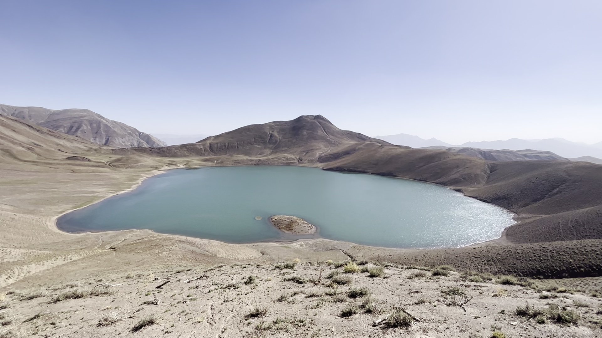
Khovarkul Lake is in a basin and has no outflow - it is protected from the wind on all sides. It’s a good camping area with the best flat grassy spots on the south shore.
Nobody here calls this lake Khovarkul (the new government name, and perhaps a very old historical name). Every shepherd and villager below used the old name: Qarokul, or Havzi Qarokul (havz = pond). This is, obviously, not to be confused with the more famous and much, much larger Qarokul Lake in eastern Tajikistan along the Pamir Highway.
Section #3: Khovarkul Lake to Kajbe Springs
Khovarkul Lake (2960 meters) up to Khovarkul Pass (3030 meters), down to Kajbe Springs (2265 meters): 70 meters up, 765 meters down. Distance: 9.3km (5.8 miles).
Khovarkul Lake was dead calm at night with no wind, and the ground below is letting off moisture that was then trapped in the basin. It was one of the rare nights in Tajikistan that I had condensation in my tent.
The trail down is easy, with only a few short vague sections. The first active shepherd camp was at 2700 meters, with no sheep activity above. A resupply caravan shepherd passed me going uphill, and did his best to convince me to return uphill for lunch.
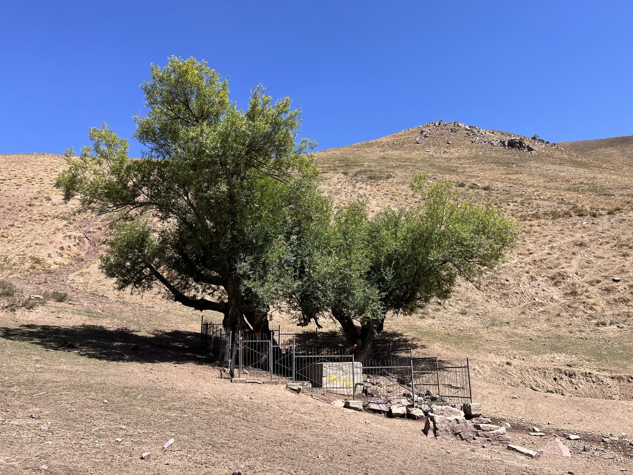
Kajbe Springs (photo below) are the source of water for the village of Yofuch below. So there is some concrete and pipe infrastructure here, and then a buried hose pipe on the way downhill afterwards. It’s easy to collect spring water from the first spring (behind a goat-fence, under two big willow trees, inside the concrete box). Don’t count on the stream flowing below the springs. It soon disappears into a sinkhole under a cliff and does not reappear.
Section #4: Kajbe Springs to Dashti Ghurk
Distance: 13.5km, 8.3 miles. Elevation gain/loss: 2265 meters down to Yofuch village at 1370 meters (895 meters down), and then 100 meters up on road walk to village of Dashti Ghurk.
It’s best to leave Kajbe Springs with enough water to get to Dashti Ghurk. If not, you will need to ask around for water in Yofuch village below. Side streams and rivers along the road are dry or too silty.
Yofuchi Bolo (“Upper Yofuch“) is a just a collection of a few summer houses and some nice farmland (and livestock corrals). I talked to an old man here and he told me the story of what used to be a much larger village. In the Soviet period the Russians destroyed the village (as well as the main village below), kidnapped the people, and sent them all to the lowlands of the far south where they were forced to labour on cotton plantations. Near the end of the Soviet period some people were allowed to return and rebuilt the lower village, but only used the old upper village for summer farming and livestock grazing.
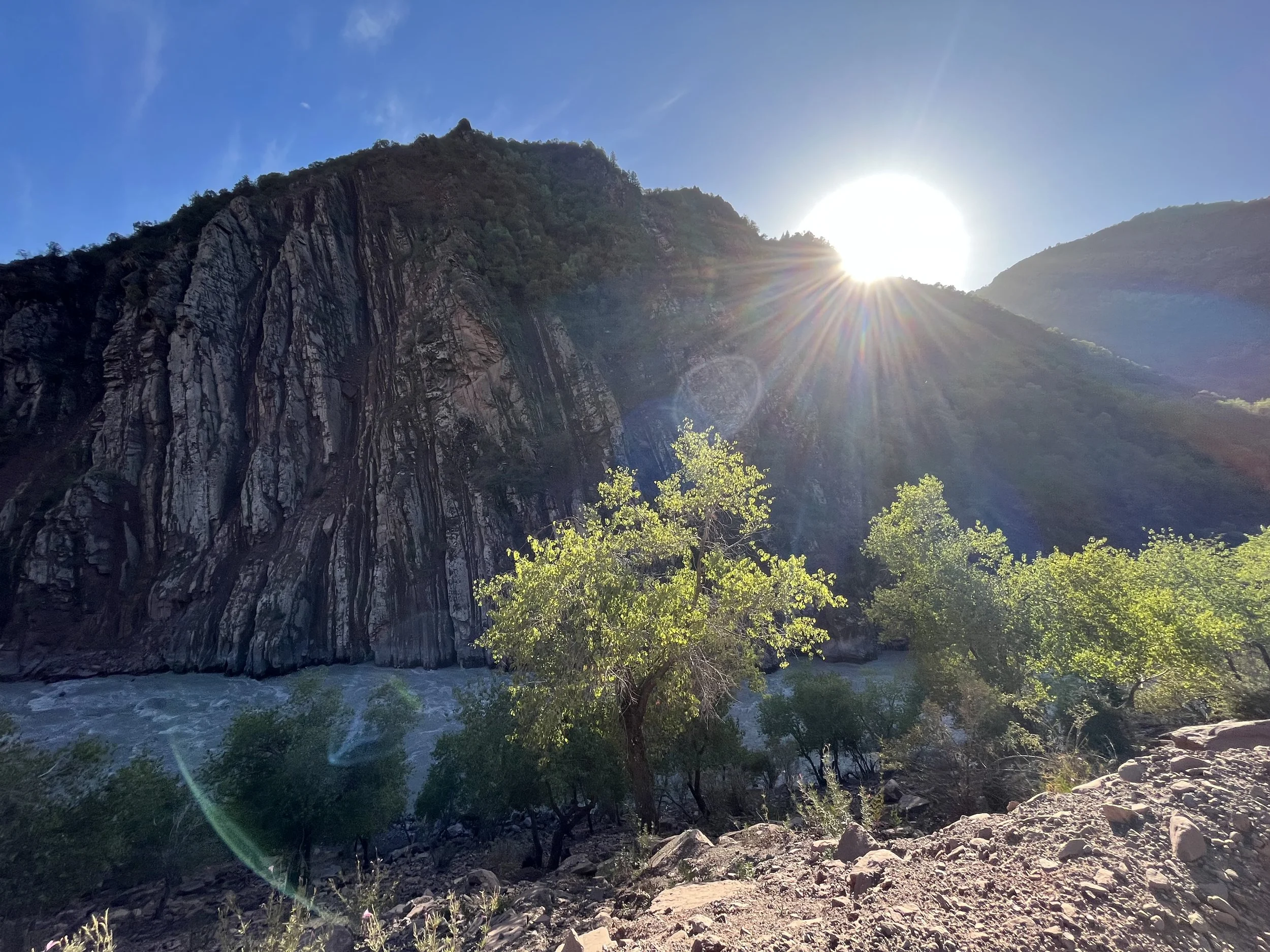
The views get really nice on the way down, and you should soon be able to see the Khingov River and Shavruz Mountain (the so-called “Stone Tulip“ mountain). The mountain features extreme geological folding. The mountain face is in the shadows after the morning, so my photos are just dark shadows. You can see better photos of the mountain here, here, and here.
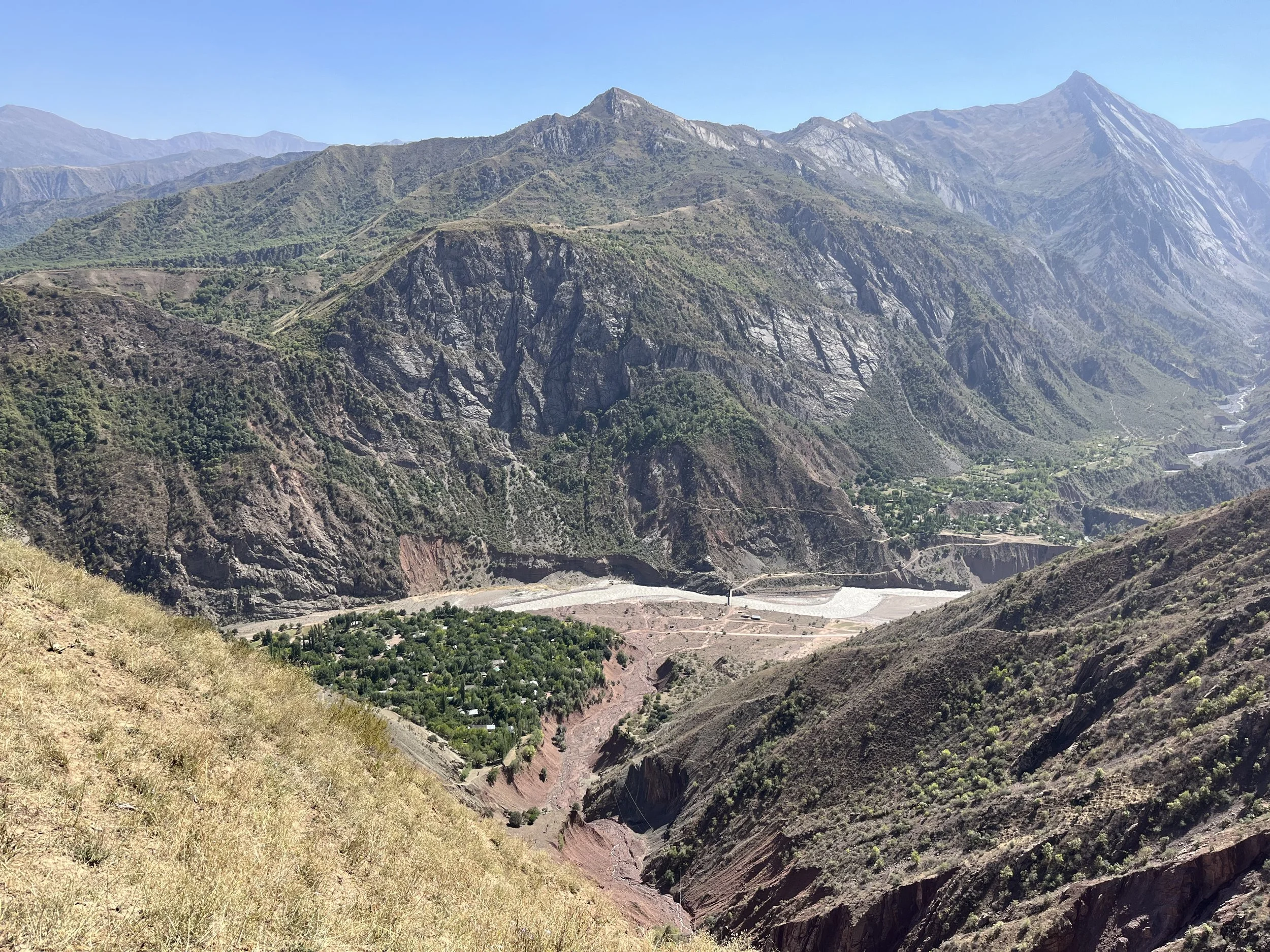
In the village of Yofuch (in the photo below) I did not see a village store on the street I walked on, nor did I see a public source of water (it will exist, just not on my route). You can always ask the locals for water.
Soon after Yofuch you will walk by a small roadside lake that has always been referred to as Havzi Kabud (“Blue Pond“). It used to have a grove of old shade trees with a nice grass meadow. There was a small restaurant and cyclists would camp here. Locals would visit for swimming and a meal. But the lake has recently been privatised. The trees were cut down, a large security fence has been erected, locals have been banned from swimming and a resort of some sort was being built on the spot. It was still under construction when I walked by.
The 7.5km road walk from Yofuch to Dashti Ghurk is not on a pleasant road. It’s dusty and rocky, but with low traffic. The views, however, are nice.
In the tiny village of Dashti Ghurk there are two small grocery stores next to the main road. One was open when I was here in 2023. I was still well supplied when I arrived, so I only needed a few items. There is not a large selection. I asked about bread and the shopkeeper sent his kid home to grab bread from his own kitchen (people in villages make their own bread, and rarely buy it from shops). See the GPX waypoint for instruction on getting water from the large concrete tank in town next to the road.
Next section: Dashti Ghurk to Tavildara.


