Pakshif to Ghorif Pass
Pakshif to Ghorif Pass
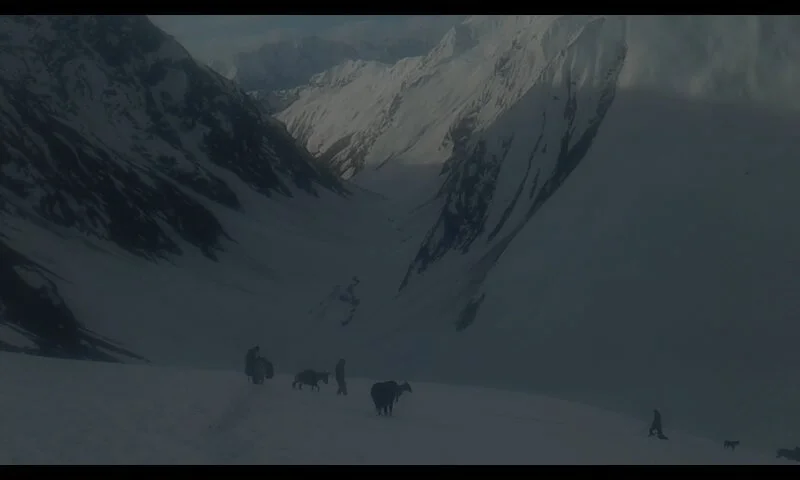
Pakshif-Ghorif Pass is referred to by both names. It is a very easy pass (by local standards) that connects the village of Pakshif across the Zarafshon Mountain Range to the village of Ghorif - Tajikistan’s most isolated permanent settlement (in terms of how long it takes to travel). The photo above in Ghorif is from the Budyansky expedition of 1992.
Elevation and rating: 3730 meters, 1A on the Soviet/Russian alpine grading system.
Season: Shepherds go through from the north side starting in late May through June, depending on that year’s snow conditions. Local resident Shomahmad Shodiev on Facebook: “The sheep were taken through the pass to the Ghorif pastures on June 20th.” Other Facebook posts show shepherds going through at the end of May.
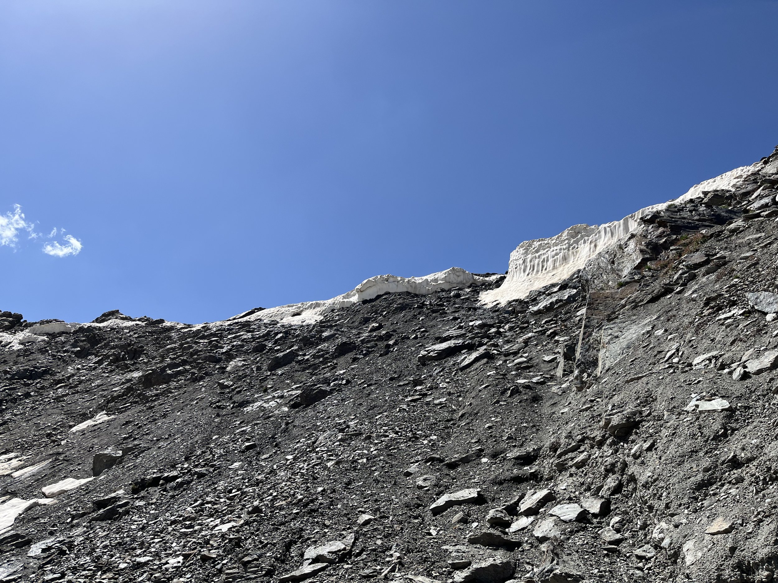
Note the amount of snow in this photo. The farther east you go in the Zarafshon Mountain Range, the heavier the snow. A pass at this elevation farther west would be mostly snow free by late June. So plan on walking on snow if you show up before early July.
Technical difficulty? See the quotes below.
Don’t worry. It turns out that not all historical explorers are as tough as imagined. Local people consider this very easy. Consider this photo of a Tajik man going on a fishing trip to Ghorif.
You can see more photos from the Google Maps link.
Ghorif is a very small village. But there are families there. So children and the elderly also go through this pass.
Even cyclists have gone through this pass (in the early snowy season). However, they seemed to have pushed their bikes most of the way. Photos from the Kharkiv Velo Club (website offline).
Not only cyclists carry heavy sports equipment through the pass. Two groups of kayakers have also passed through in September 2007 and September 2008. Stories here and here.
So, the pass is easy. And this route was used historically to connect the Zarafshon Valley with the Rasht Valley (Gharm). But this is no longer true. Ghorif is a dead end for the casual hiker. Once you get to Ghorif you can no longer go down the gorge to the Rasht Valley until the water levels drop in October. Read here to find out more about you options for going onward from Ghorif (none are easy).
I consider this pass interesting not for the scenery (it’s average or below average for the area), but for the destination: Tajikistan’s most isolated village.
Cultural and Social Context
Pakshif is part of the Kuhistoni Mastchoh district. The people of Ghorif and the surrounding villages, despite being in the Rasht district, are Mastchohi Tajiks unrelated to Rasht Valley Tajiks.
The people in this district were exiled as part of a communist/Russian genocide against mountain people throughout what is now Tajikistan in the early to mid-Soviet era. They were sent to the lowlands to farm cotton in collective farms in the Mastchoh district and in southern Tajikistan. They began to return to the mountains in the late Soviet era.
The genocide was more of a permanent phenomenon in the areas around Ghorif. Only Ghorif was resettled, and in much smaller numbers than once lived here. Their sacred shrine was completely destroyed and never rebuilt (photo below from the Rickmers expedition), and agricultural areas nearby were abandoned forever. They now farm only right next to their village, and they have converted to animal husbandry and shepherding as their main source of local income and food. The villages of Namnarud and Khoja Nasrud were never rebuilt, and you can still see their ruins. Ruins of other small settlements can be seen as well, in addition to abandoned orchards and fields.
The hike from Pakshif to Ghorif
Very fast hikers traveling light and starting very early can make it all the way from Pakshif to Ghorif in one day, but for those moving more slowly, the Birch Forest (Jangali Khadang) or the meadows at Dashti Rabot are a more reasonable goal. For those even slower, there are camp spots marked on the map higher along the South Pakshif River.
Pakshif: I walked by the village of Pakshif in the early afternoon and did not enter the village. I resupplied in Madrushkat, which has a good variety of village grocery stores. I do not know what is available for purchase in Pakshif. All the people I met between Pakshif and Ghorif were shepherds or resupply caravaneers from Pakshif. They told me I should have slept in Pakshif. Apparently the village is accustomed to hosting people on their way to or from the pass. However, there is no formal guesthouse here.
Water: Leave Pakshif with a refill of water. Ask around the village for help with that. Aside from the main river in the Pakshif gorge, which may be silty or dirty, the first chance for reliably clear water after Pakshif will be the stream crossing at 2980 meters. There is a strong clear spring at 3260 meters. After that there will be no chance for water until the south side of the pass as you cross several streams on the initial descent (at least in late July), Farther down you have the option of the main river if it is silt free (it won’t be when the weather is warm). The next reliable source of water is at Dashti Rabot (2145 meters) where there are two good springs. Aside from the springs, all other water sources should be filtered or treated before drinking. There are plenty of livestock and dogs here. Even if the shepherds have moved to higher altitudes, cattle are left to graze unattended.
People: I was in the Pakshif Gorge July 18-19. Shepherds had already gone up to higher altitudes, and every shepherd camp was abandoned. I hiked part of the way with a man leading a resupply donkey to a high camp. He gave me tomatoes, cucumber and bread. The next day I met another resupply donkey caravan coming down from the pass, they asked if I needed any help or bread - both offers equally important to locals. And right before the final ascent to the pass two shepherds with a small flock descended. Smaller flocks leaving the mountains in mid-season are usually destined for the market.
On the southside I met the only shepherd who was still grazing the gorge bottom. I had tea and bread in his tent and was given some good info about the area. Right before entering the birch forest I met three resupply shepherds and their now empty caravan heading back to Pakshif. They asked for selfie photos and a group photo.
Animals: Local shepherds tell me that this route, as well as the route through Namnarud and up to Beob has bears, but no wolves. In Ghorif I am told that bears will flee at the sight of a human.
The route: The trail leaves from the road just above Pakshif. Soon it crosses an old road that is no longer driven on. You can take the livestock shortcut trails or go on the old road for a less steep experience. After a steep section, the elevation gain is much more gentle. Take enough water to last until the tributary stream at 2980 meters, or the spring water stream at 3240 meters. All other streams are not reliable through the full season.
There are several places to camp in the Pakshif Gorge, with the last camp being at 3000 meters.
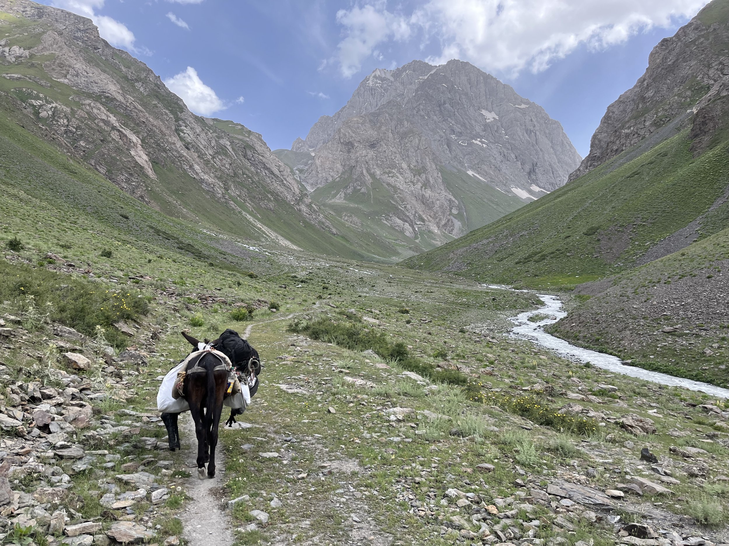
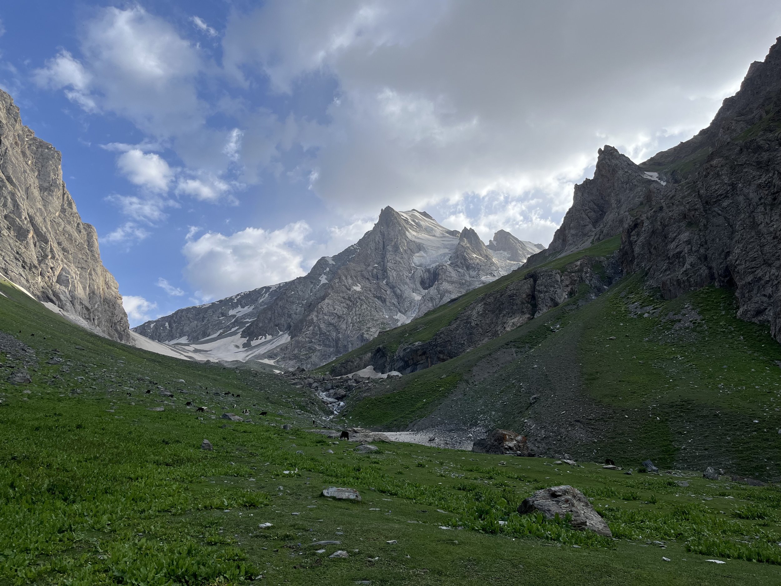
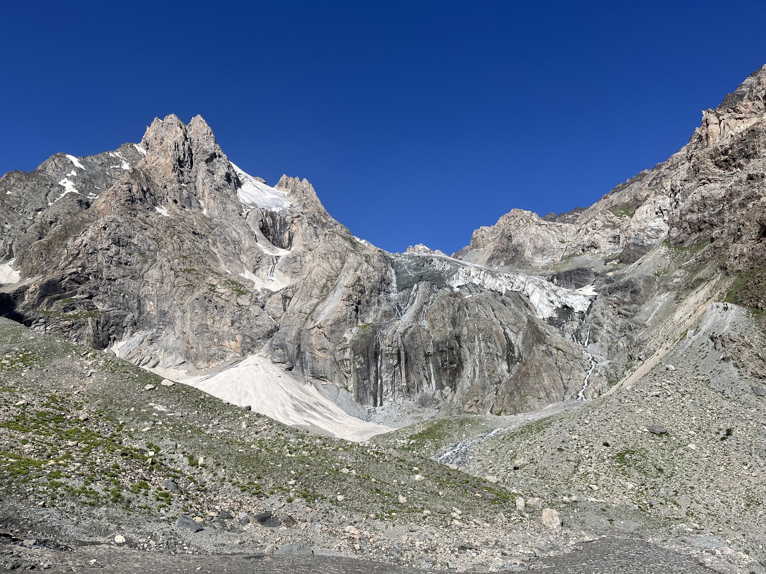
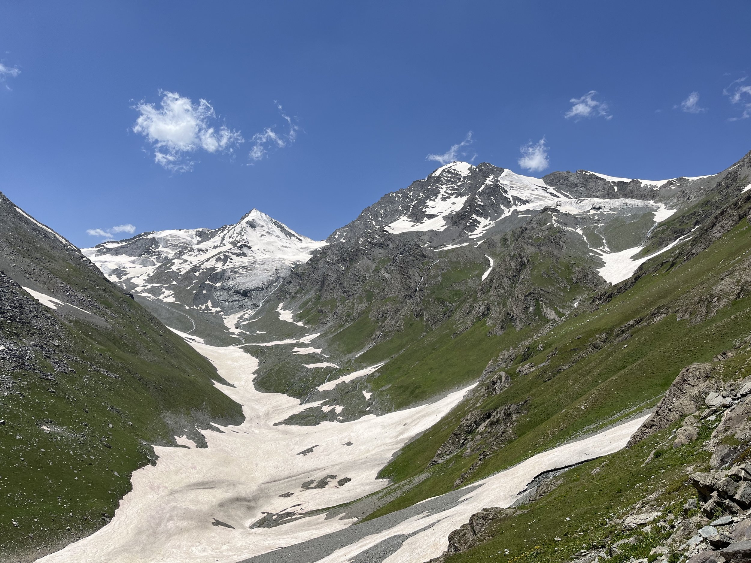
After 3000 meters the trail becomes rocky. In some sections in early to mid-summer you will have a choice: walk on rock or snow. There will be more multiple route choices the higher you get. Right before the pass the route is steep with loose rock and gravel. However, fully loaded donkeys and flocks of sheep regularly go through the pass, as do children who live in Ghorif. The only difficulty would be if there is fresh snow in the pass.
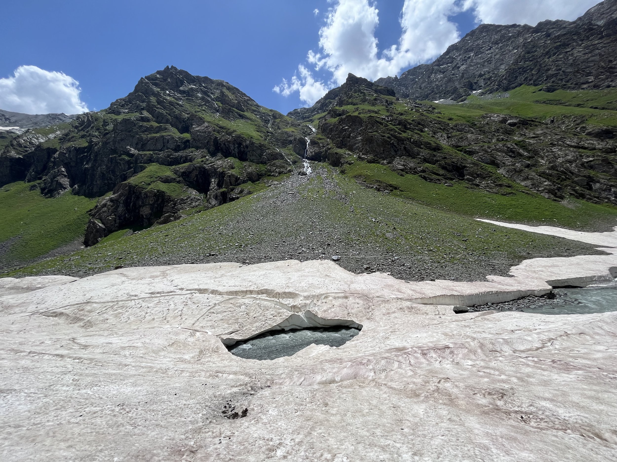
The photos below are of the north side of Pakshif-Ghorif Pass from July 19, 2023. Later in the summer the route will be fully snow-free.
The south side of the pass is much easier and on a clear trail until you get near the river where the trail is often obscured by snow fields, avalanche debris and the river bed.
Your route down the South Pakshif River will depend on what time of the season you are here and your comfort with river and snow bridge crossings. If you are uncomfortable with both types of crossings, you can travel entirely on the left bank of the river (the east side) without crossing the river. However some sections will be very rocky, steep and slow (I did this and did not enjoy the experience - it also cost me up to 1 hour extra travel time). The shepherds and locals cross back and forth to access the easiest terrain. Through July, you can cross the snow bridge at 3200 meters to the right bank (west side) and then back across again at the 3120 meters snow bridge. Sometime in August the snow bridges start to fall apart or become very thin. This is when you need to do some river crossings (probably only knee high, and in flat areas of the river (3180 meters and 3150 meters), just below and above the snow bridge locations.
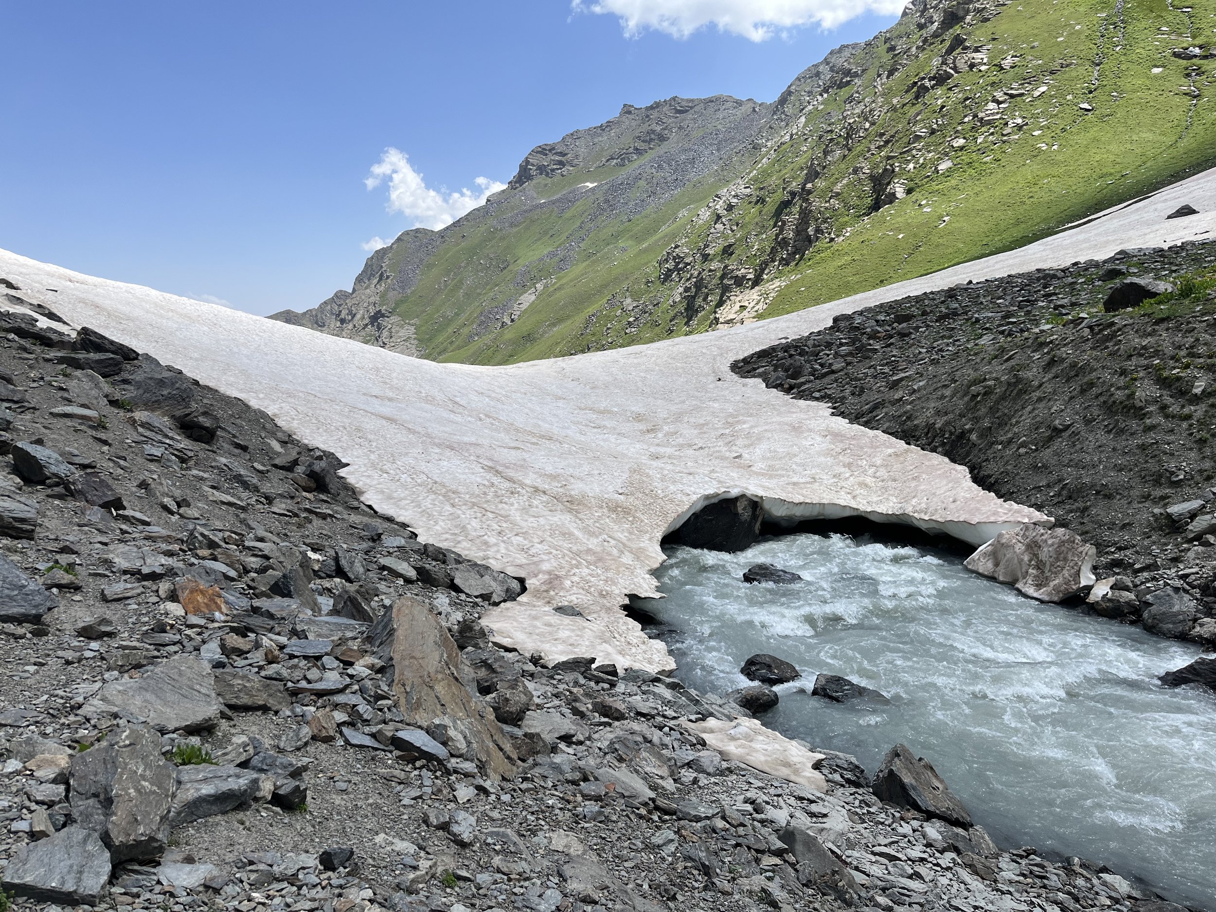
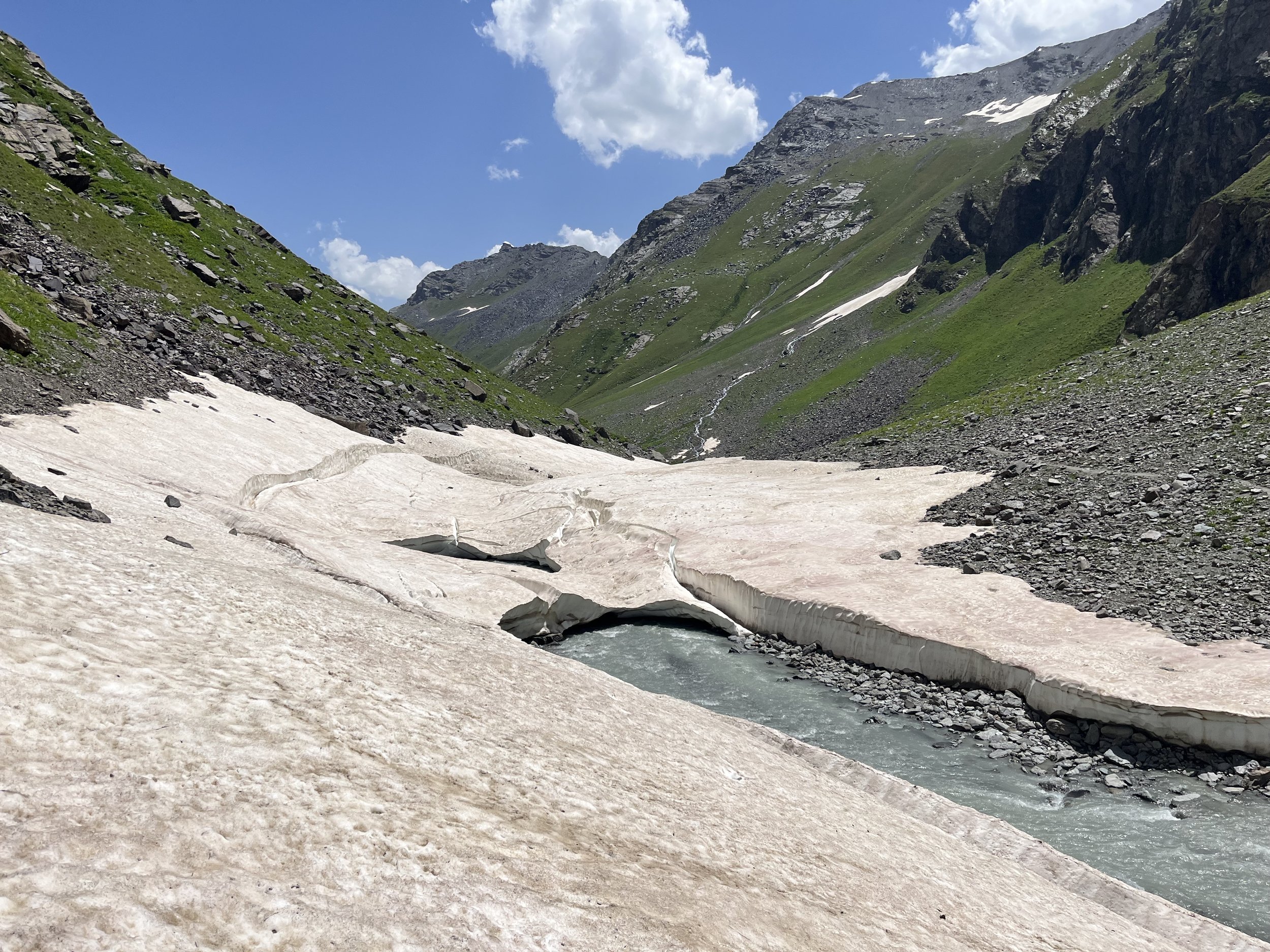
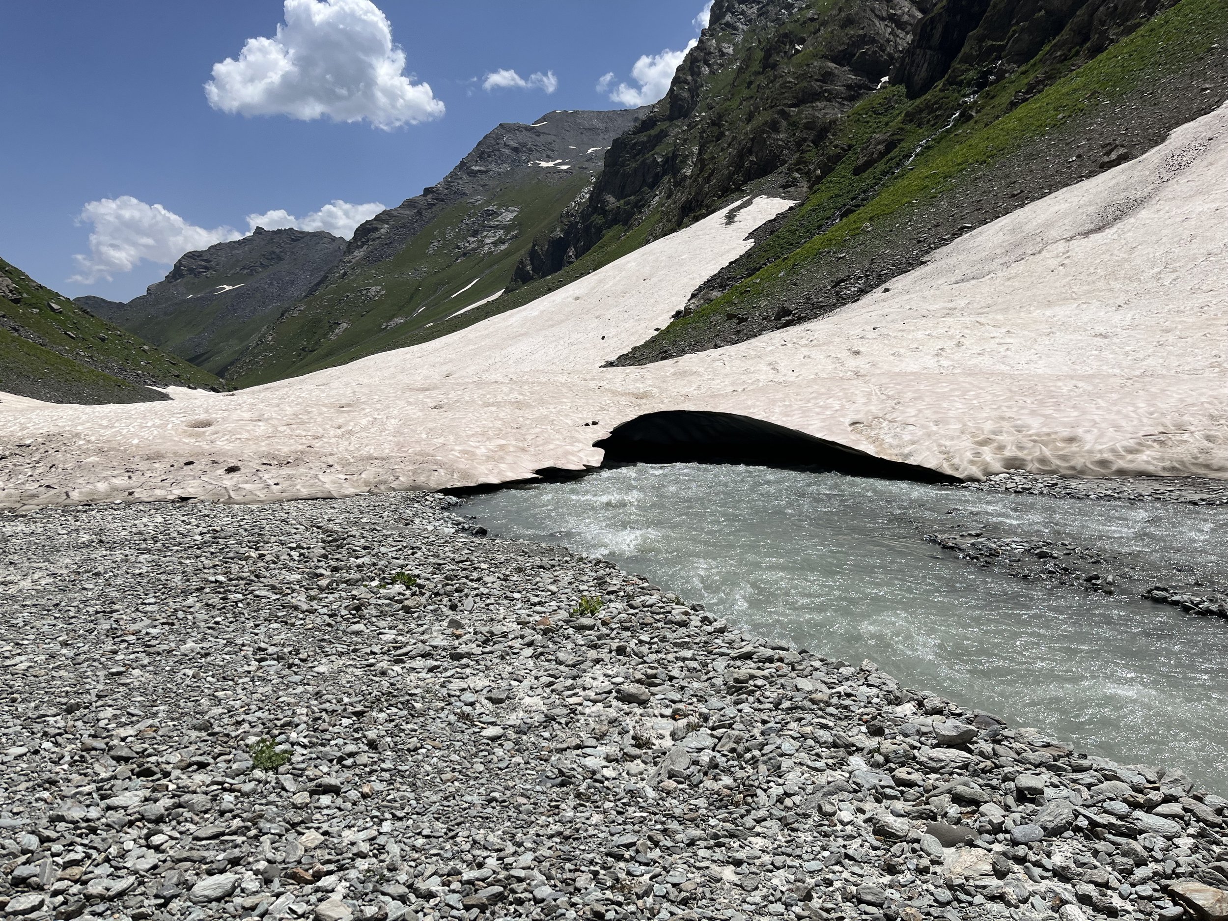
Soon after, the trail becomes clear again. Your main concern here will be the stinging plant yughan. Don’t wear shorts here, unless it is September and all the plants have dried out and become harmless.
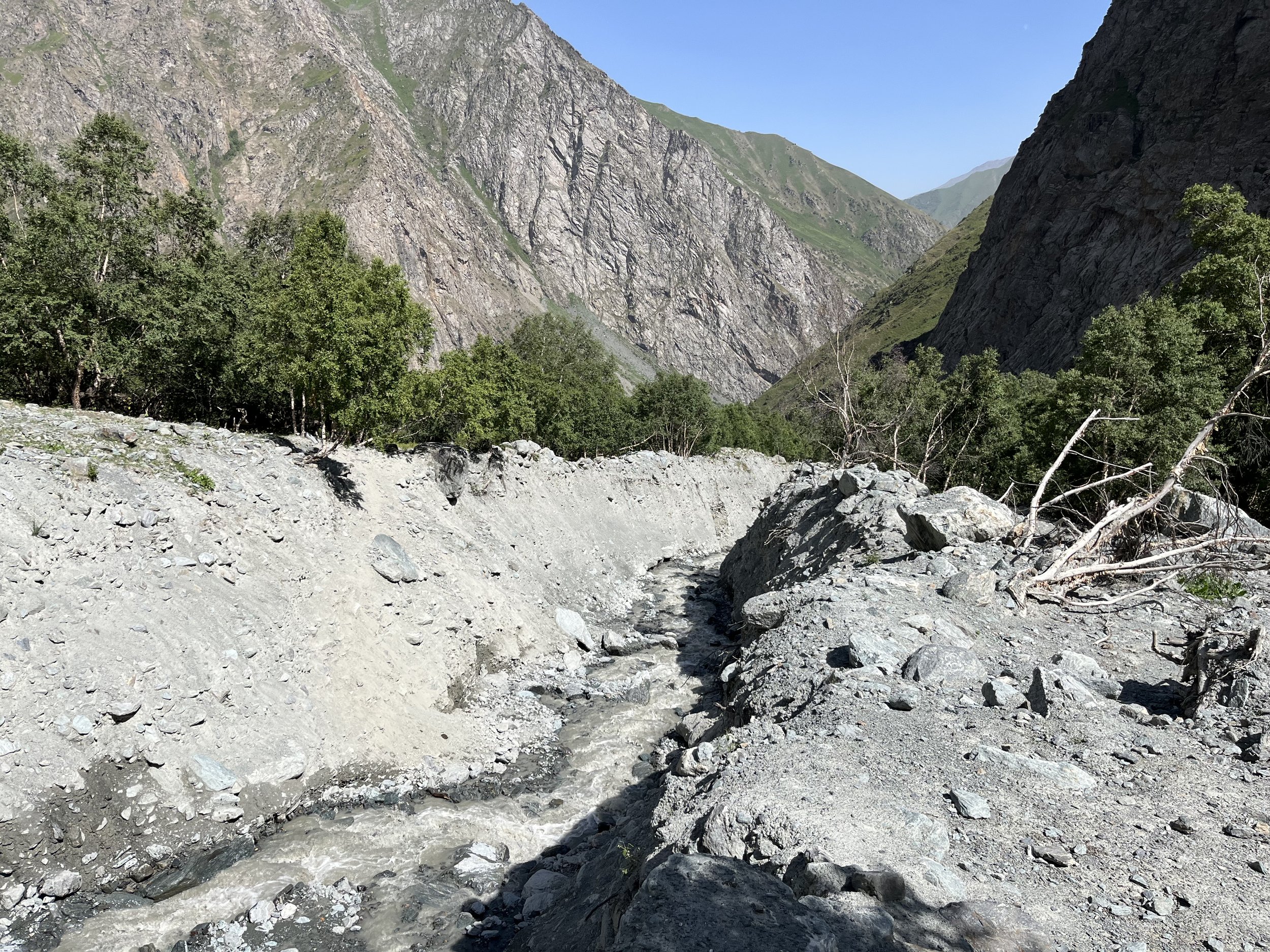
Right before you enter the birch forest (Jangali Khadang), you will cross an area that had a flood and debris flow. The trail will not be visible until after you have entered the forest.
The birch forest is home to free roaming cattle and an obstacle - the Kurdara stream. A debris flow created a deep trench that can be a little difficult to get back out of. There is one location that the cattle use and is relatively easy to scramble up.
At Dashti Rabot (“Outskirts Meadow/Flats“) there are two very good springs, one with an old millstone next to it. You can camp in this area or farther down the main river at 2110 meters.
There is a gate on the trail as you enter the tiny village of Ghorif. This is to keep out livestock, not you. Ghorif (4-5 households) is friendly, but very traditional - wear full length pants and do not under any circumstances try to take a photo or video of any girls or women. The head of the village is named Abdurrashid. Address him as “Akai Abdurrashid.“
If you make it all the way to Ghorif by evening or nightfall, there is a dedicated guest house in the village.
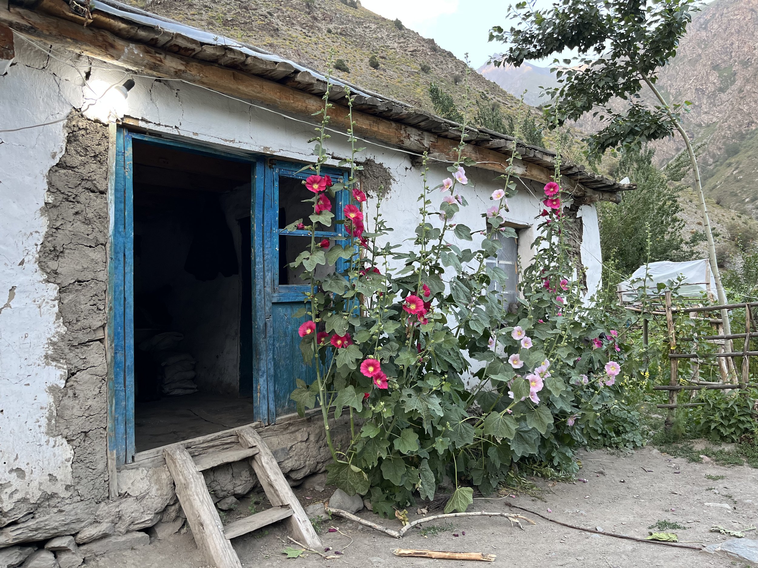
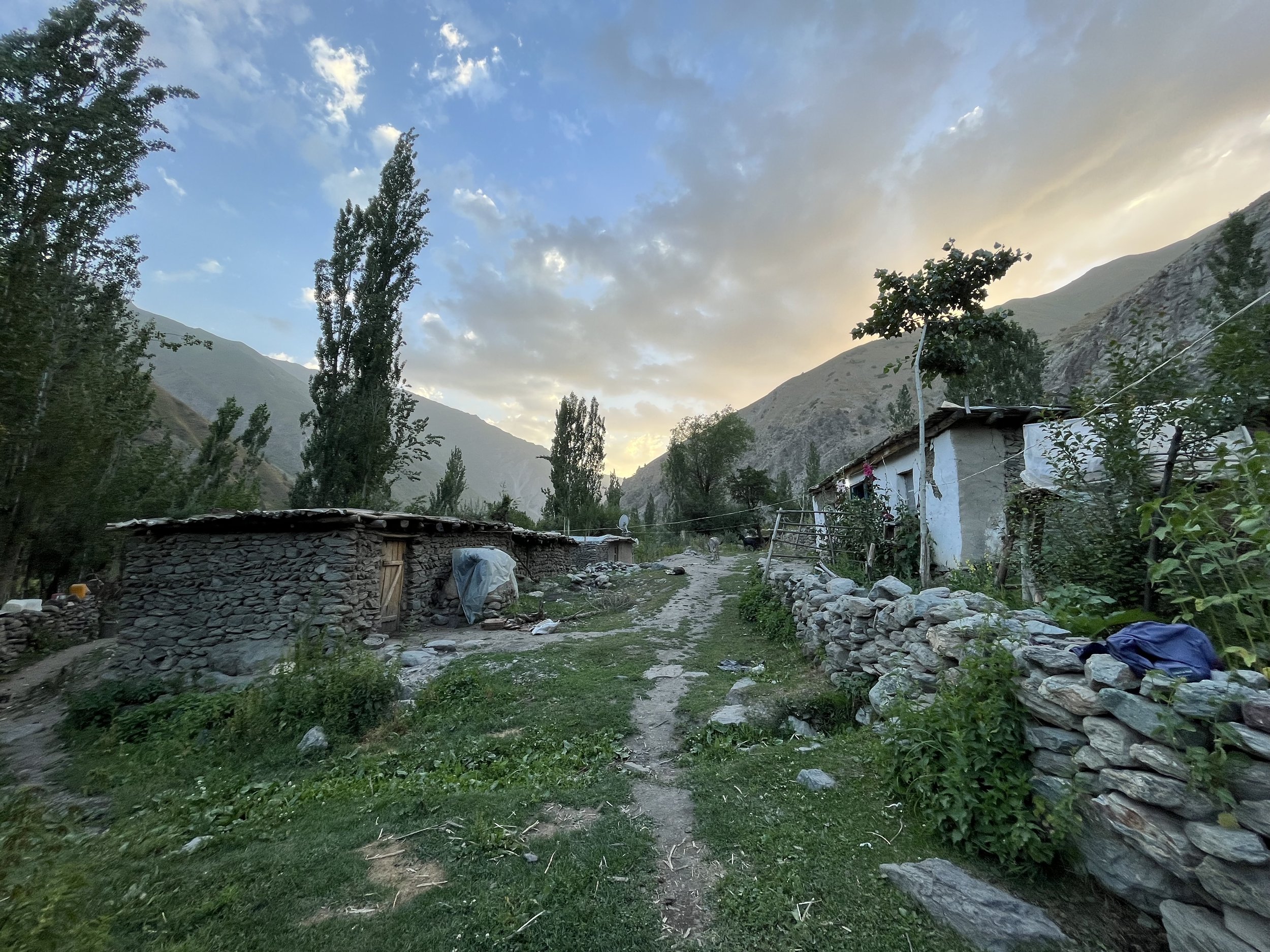
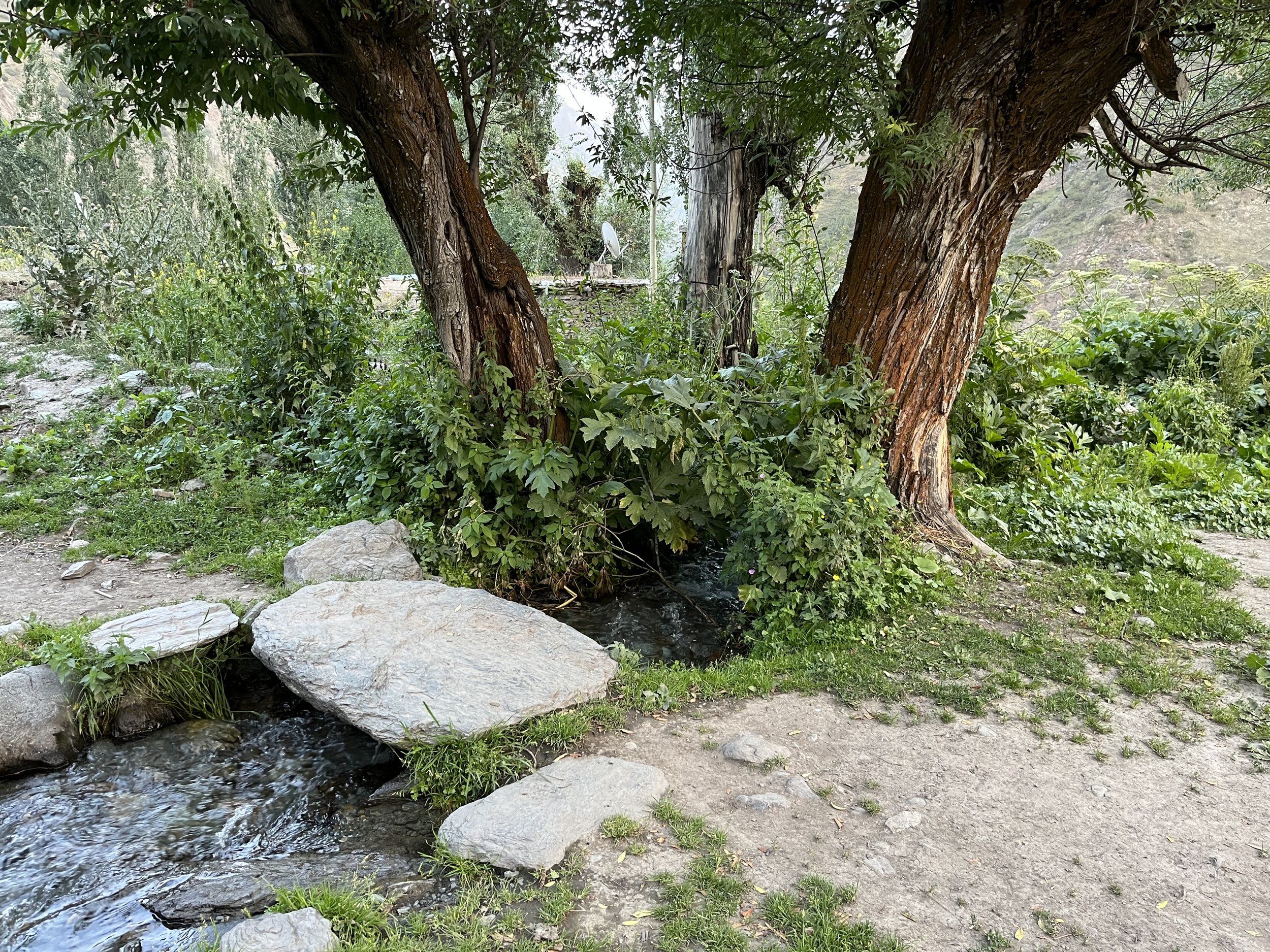
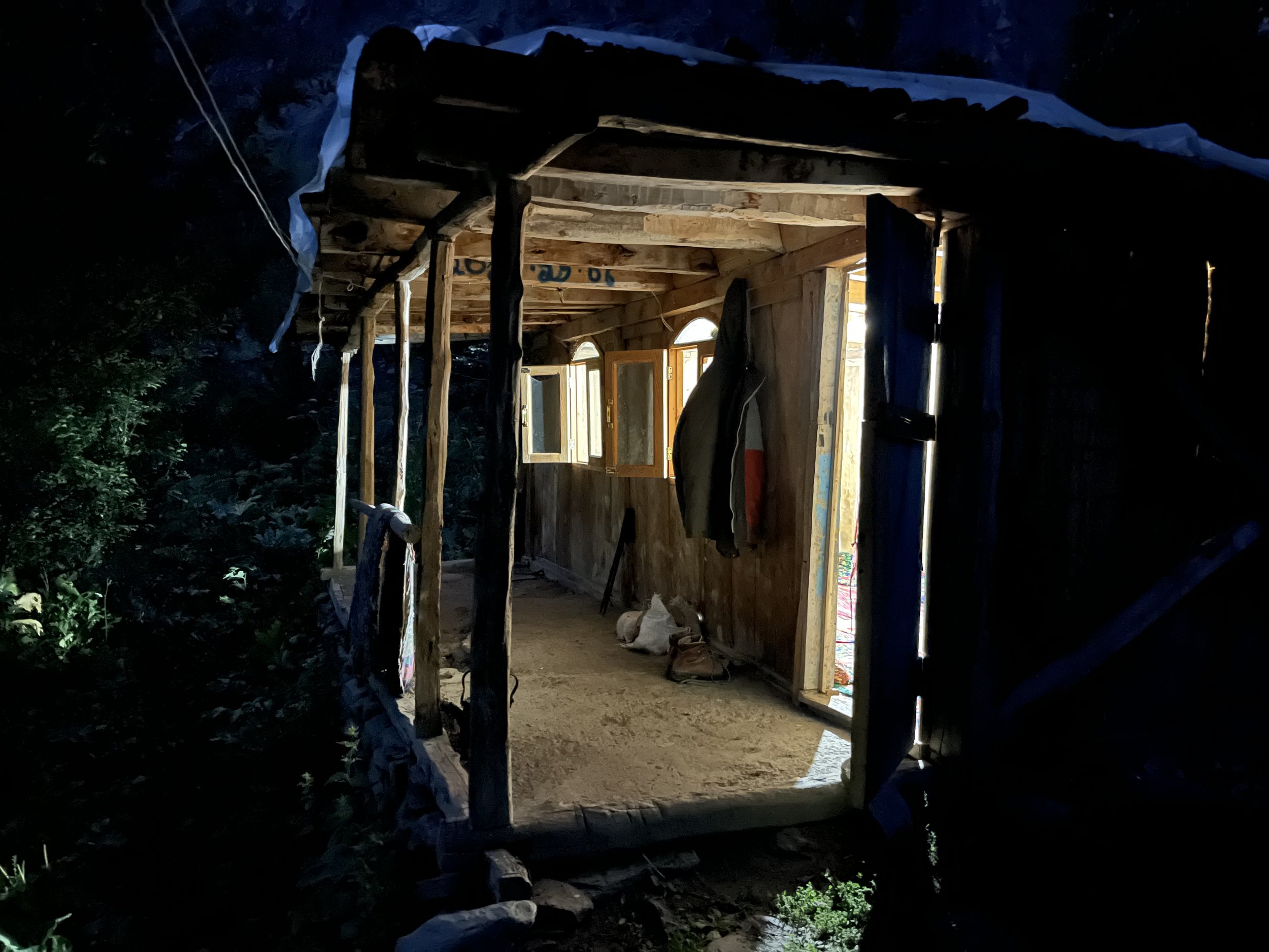
The guesthouse is not a tourist guesthouse. It is a guesthouse that serves the shepherds, and more usually their supply caravans - plus the occasional local visitor (who is usually a person from elsewhere in Tajikistan who has relatives in Pakshif and/or Ghorif, but also later in fall or early winter it hosts hunters from the Rasht Valley side). But to be very clear: you as a tourist are welcome here. The head of the village recited every foreign guest they have had in their village since 1992. It is a short list (Russians, Ukrainians, Czechs, Americans, French, etc.).
If you stay the night they will serve you tea, bread and a simple meal (dinner but no breakfast). They will refuse payment. I suggest bringing souvenirs (flag patches are light and not bulky, for example). But perhaps this will change if the Pamir Trail actually become popular. Then tourists should start paying (but first a foreigner will have to explain that they really should start taking payment and that foreign tourists expect it). The guest house has one electrical outlet powered by the village’s micro-hydro power generator (the outlet is at about head height). Please give the shepherds priority for charging their phones and batteries. You should be fully charged after the Zarafshon Valley. The village will speak Tajik, with a couple of Russian speakers. I spent the night in the guesthouse with a shepherd camp supply caravaneer.
The only onward destination after Ghorif for hikers is the town of Navobod via the Beob Pass. Full report here.
