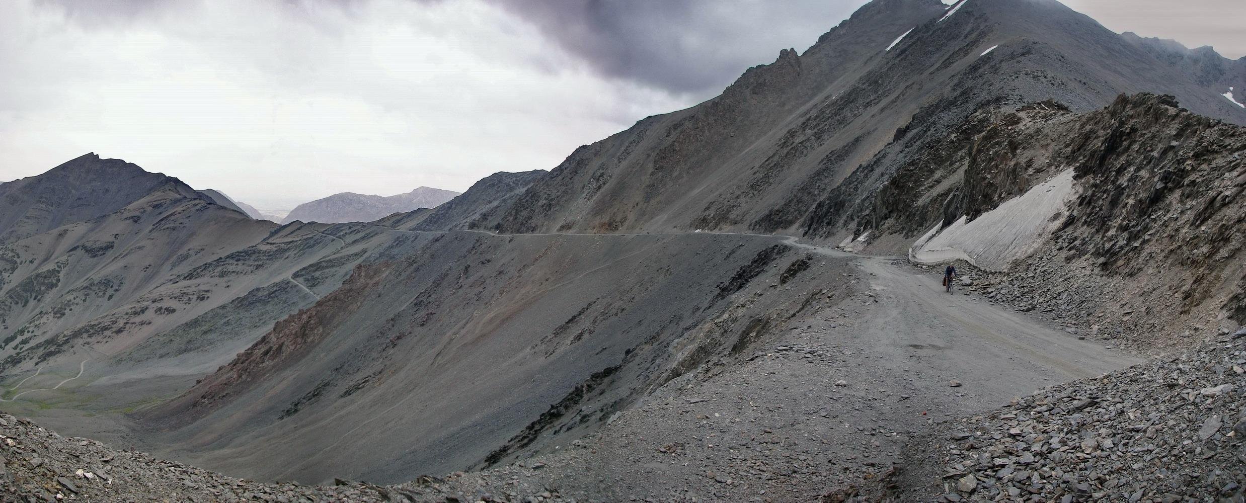
Turkistan Ridge
Turkistan Ridge
The Turkistan ridge (Turkestan, Turkiston) was named so by Russian cartographers, but locals don’t use this name. In the west this ridge acts as the border of Tajikistan with Uzbekistan, and in the east it is the border with Kyrgyzstan. In the middle section it connects the Zarafshon river valley to northern Tajikistan. The Dushanbe-Khujand road goes through this ridge via the Shahriston Tunnel. East of this tunnel are numerous passes, some that you can drive through in the summer with a jeep, and some that are on foot only (and higher up, some that are difficult climbing passes).
Short version: I don’t recommend hiking over the Turkistan Ridge into the Upper Zarafshon (Kuhistoni Mastchoh District), instead, you should hike over the ridge further west into the Ayni District, just downriver from the Kuhistoni Mastchoh District. Easy pass: Veshab Pass, more challenging and scenic pass: Kani Pass (more info below).
Why would you want to cross the Turkistan Ridge? I think this is convenient if you are coming from Khujand in northern Tajikistan, Osh in Kyrgyzstan (when the Isfara-Batken border re-opens) or Tashkent (Uzbekistan). Even if you are not coming from this direction, it is still worth it to start a hike from north of the Turkistan Ridge.
The scenery here is unlike anywhere else in Tajikistan, with much thicker Juniper forests and more grass, plus the terrain is very gentle. For more information on the north side of the Turkistan Ridge notably the mountainous areas of Shahriston District and Ovchi, read here.
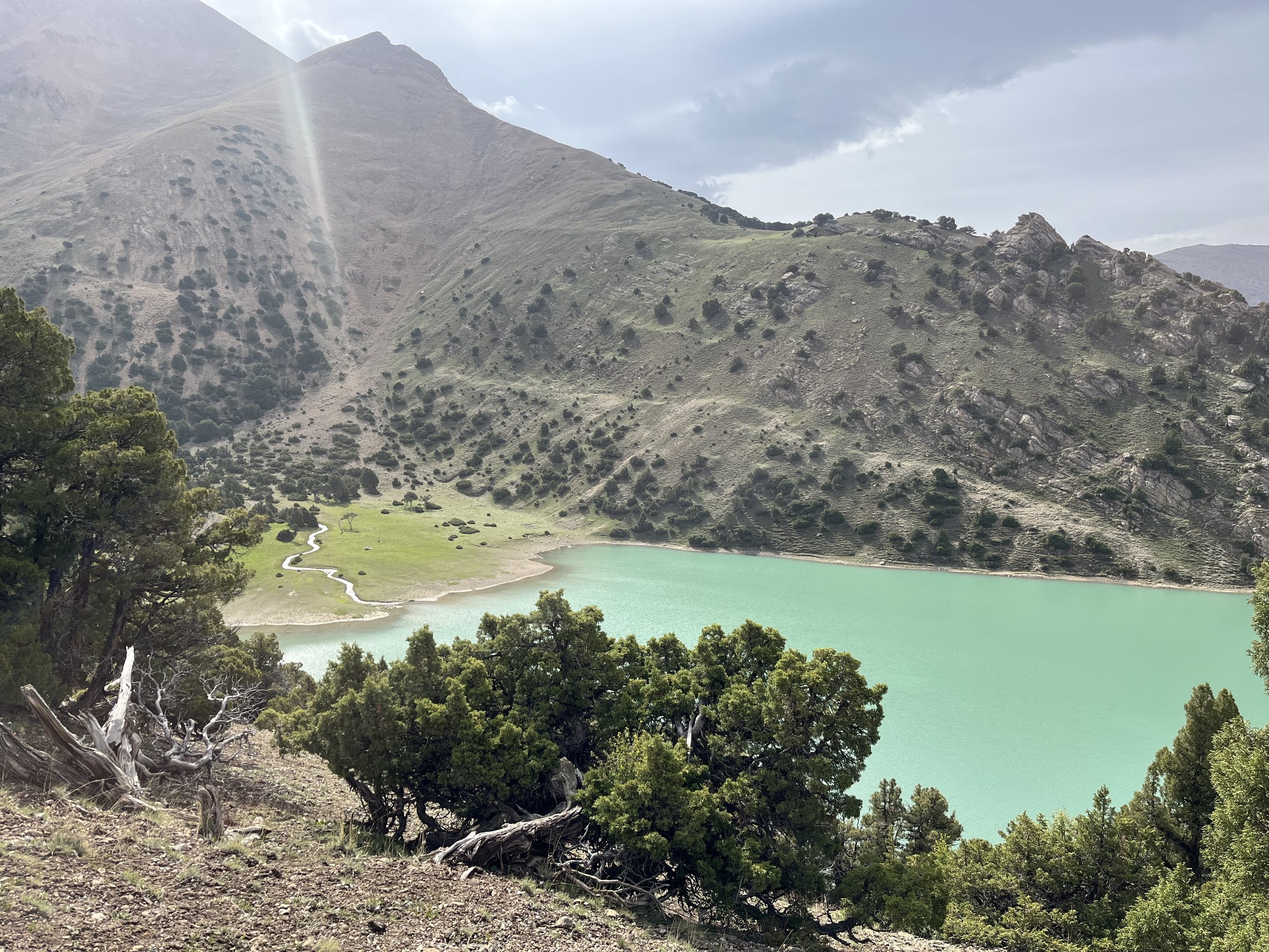
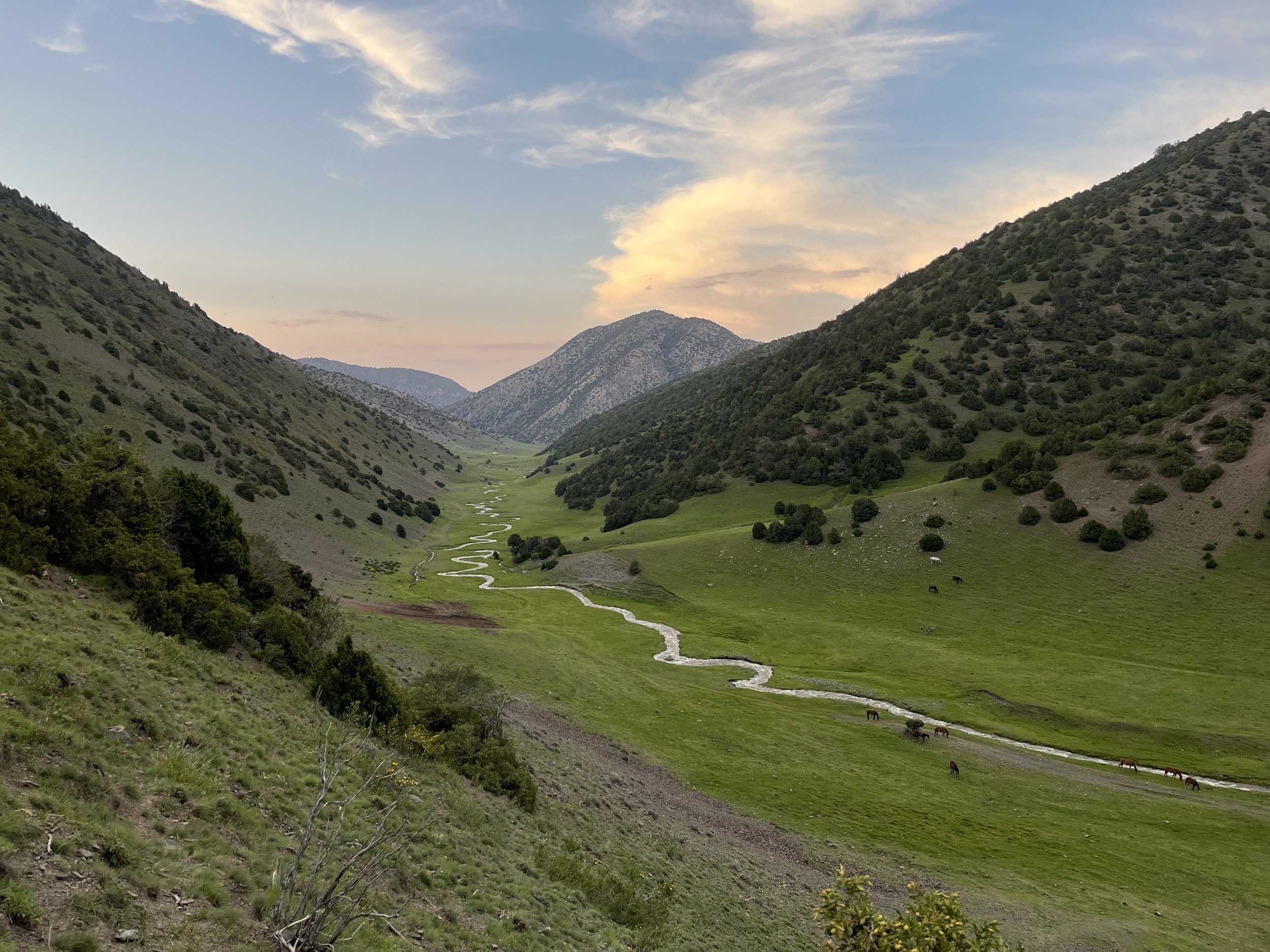
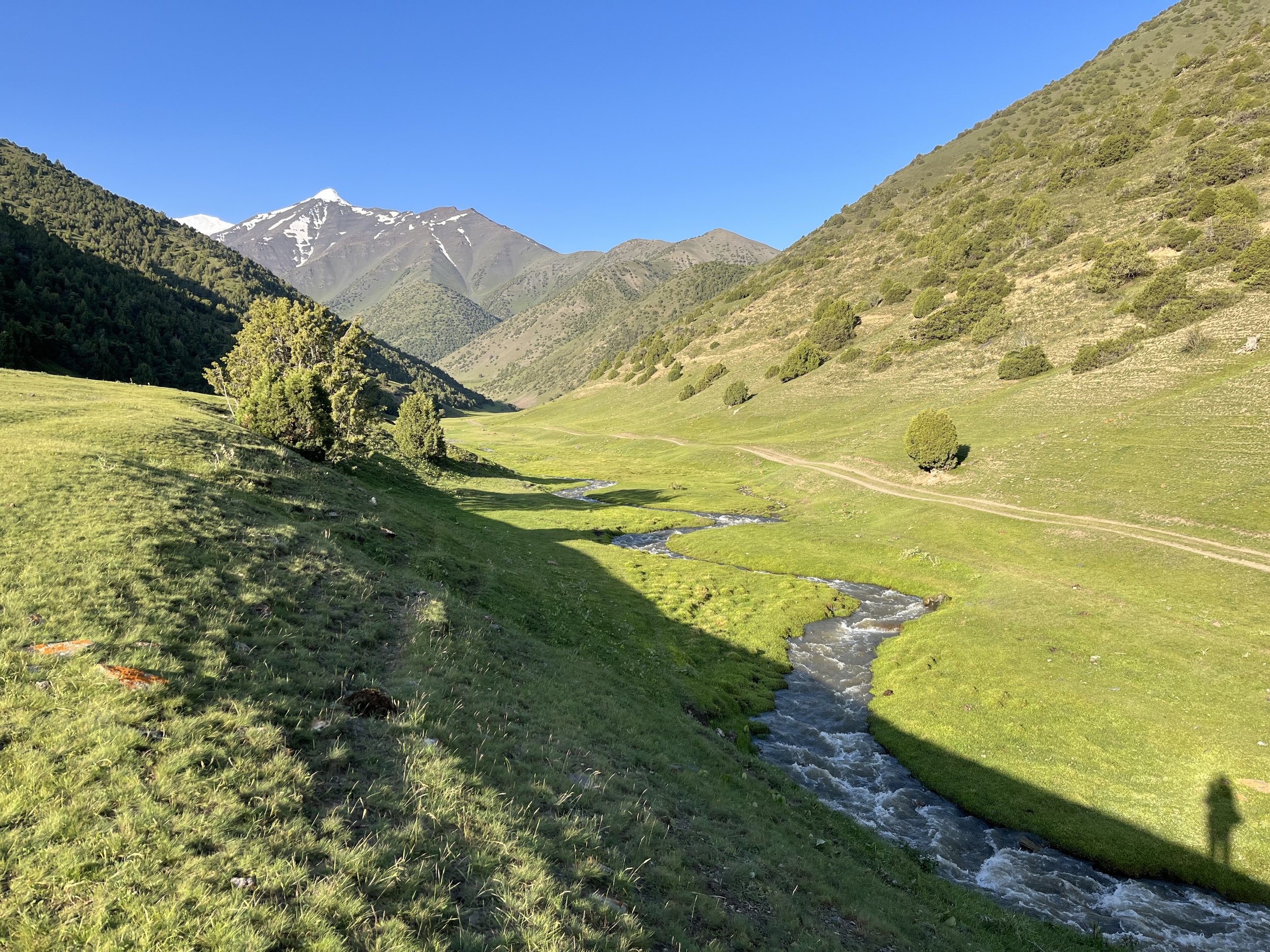

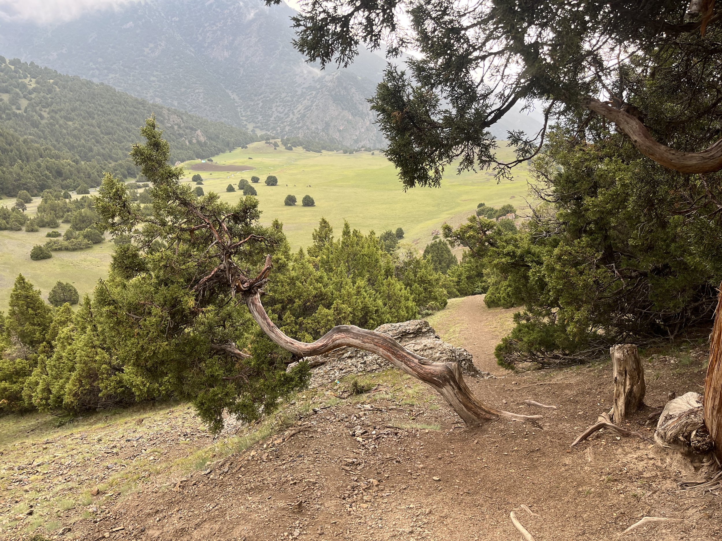
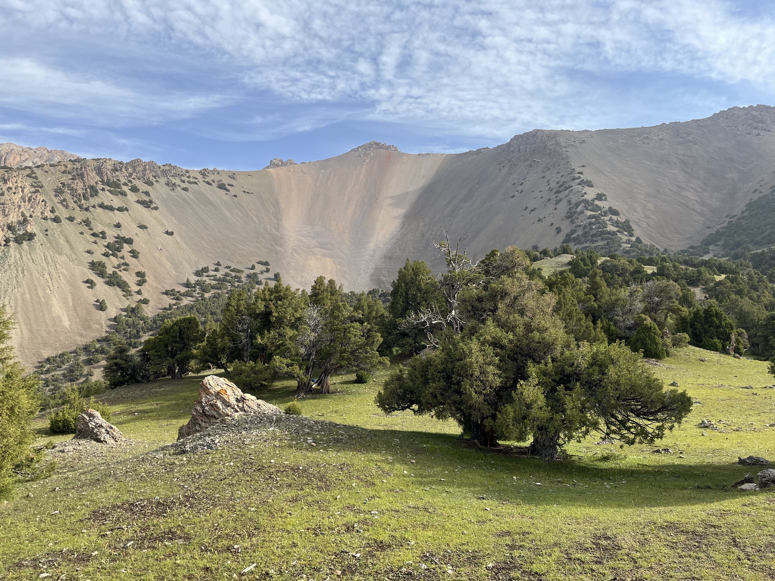
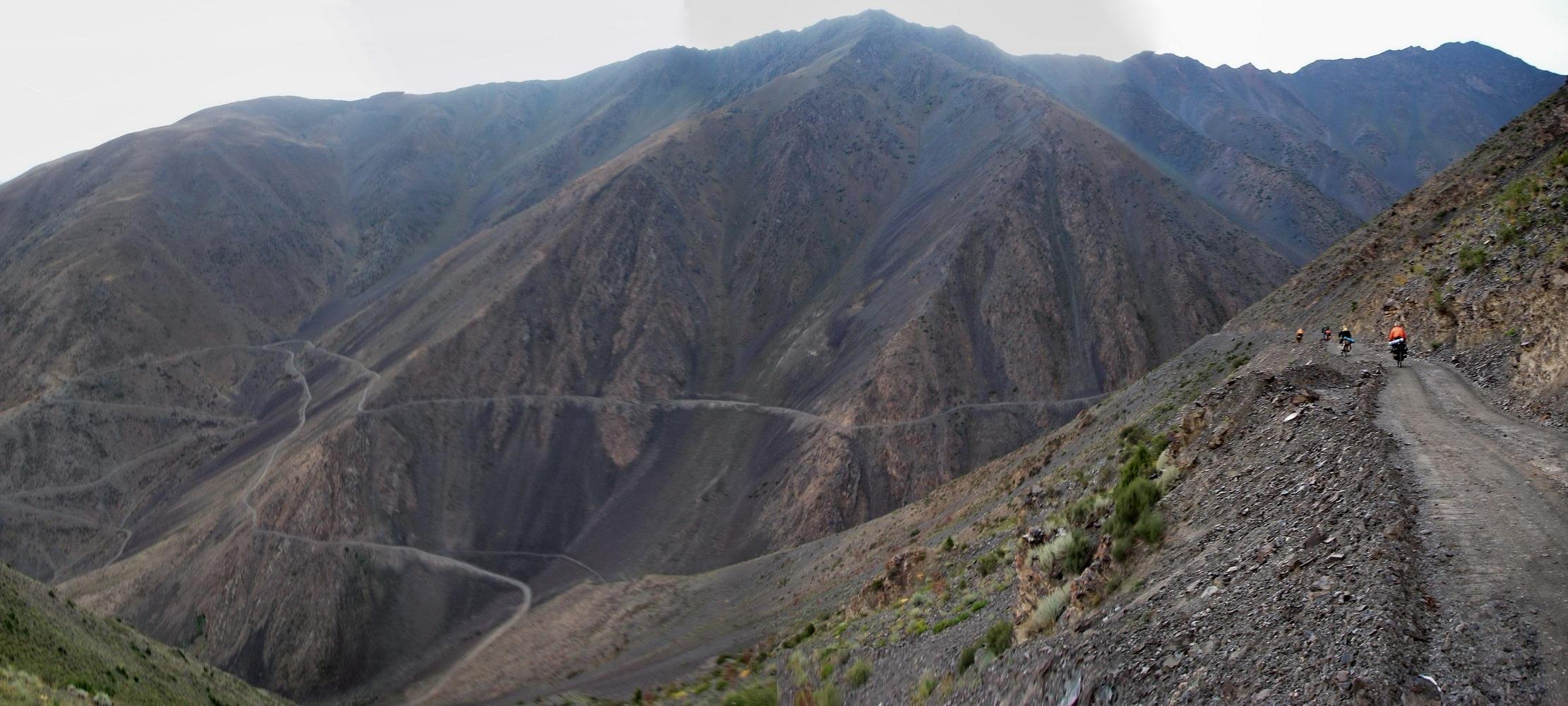
The most popular summer-only road over the Turkistan Ridge (aside from the main highway through the Shahriston Tunnel) is Obburdon Pass, followed by the rougher Veshab Pass. There is also a road up to the Ustonak Pass to service telecommunications towers/repeaters, but it’s a foot-only descent to the south.
To get over the ridge directly to the Upper Zarafshon (Kuhistoni Mastchoh District) was only possible during the Soviet period and before. Now the ridge directly north of this district is the border with Kyrgyzstan. Furthermore, I recommend avoiding the ridge for a further 3km west along the ridge after the border, even through it connects Tajikistan to Tajikistan. This is not a border, but it may be in a border zone. The farthest east pass that is probably not in a restricted border zone is Kamodon Pass, a shepherd route. But I don’t recommend this route as it skips the best scenery and has inconvenient start and end locations.
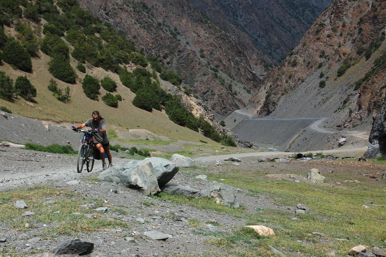
For cyclists (with mountain bike tires) you can do Obburdon Pass or Veshab Pass. Veshab Pass is my recommendation as on the south side there are two guesthouses in the village of Veshab. Furthermore, you get much more scenery by going through Veshab Pass. But Veshab may be too rough, or you may want to do Obburdon Pass to match your end destination.
I was at the foot of Veshab Pass on the north side in early June 2022, and there was still too much snow up high. But by the end of June there was only a 20 meters stretch on the north side that was still covered in snow. Satellite images show that from 2017 to 2022 the road was passable by July 1st in every year (but none of these years were heavy snow winters). If you are on foot, it’s probably reasonable to go through up to two weeks earlier. The south side (facing the sun) will be completely snow-free, so if you look at the snow level and think you can make it to the pass, then there are no obstacles on the other (south) side.
For cyclists, to get technical information on the Veshab Pass road, you can check out the following videos from a group of Russian cyclists (not the best videography, but it shows what you need to see). South side of the pass: here and here; and on the north side of the pass here and here and here and here.
Two cyclist videos below. One showing the dry-desert south side of Veshab Pass, and the other showing the grass and juniper tree forests of the north side.
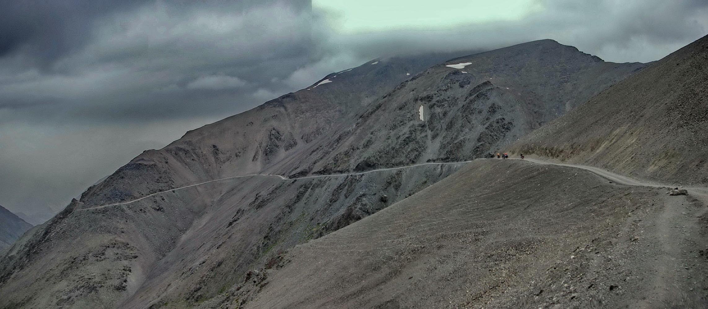
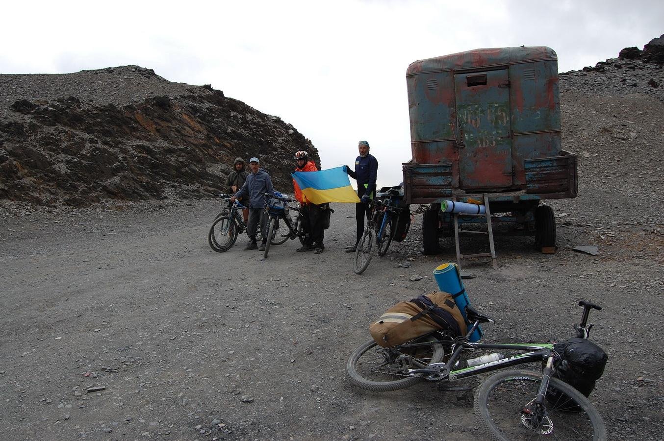
For Obburdon Pass, the road appears to be higher quality. But I think the starting point on the north side of the ridge skips all the best scenery. To get an idea of the road’s difficulty, theses videos were taken from what is probably the most difficult/scary section: here and here. And definitely check out the photo essay by a group of Ukrainians who cycled through Obburdon Pass (see photos below).
For a more challenging and scenic hike, I recommend Kani Pass (Shavatki Bolo Pass). The Shavatki Bolo name came from a Russian government cartographer based north of the Turkistan Ridge, and he named the passes on this ridge based on the villages on the bottom of the south side. So on the north side you may say that you are going to Shavatki Bolo, but the pass is properly referred to as Kani Pass, or Aghbakani in Tajik.
I turned back from this pass in early June when I saw how much snow was still up high (especially considering a steep section right before the pass on the north side). In 2022 the pass was not snow free until after mid-July. If you get turned back by snow, go back down and head east towards Veshab Pass. However, after doing research I found out that I made a mistake. The shepherds in Shavatki Bolo dig a trail through the snow so that they can get their livestock to the Tukhchi pastures on the northside as soon as possible. Photos from the Shavatki Bolo Odnoklassnkik group:
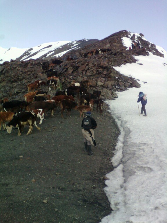
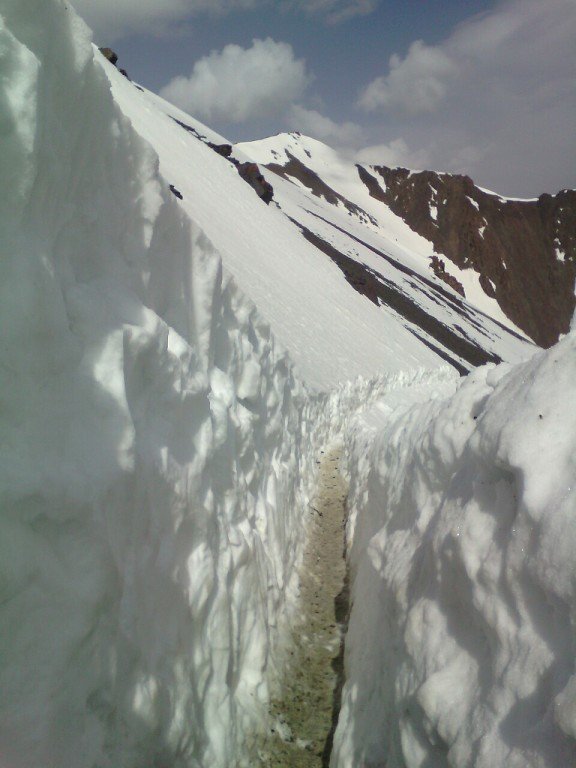
The locals who clear a path through the snow can be seen here and here, having a little break and singing. Based on these images and satellite photos, it’s possible that the pass is cleared anytime from mid-May to mid-June, depending on snow levels. You can see them digging on the north side of the pass in this video.
From Kani Pass you can descend south down a clear trail to the village of Shavatki Bolo. However, this involves a treeless and waterless gorge. You will need to brings lots of water from the north side. There may be water flowing out from under the old glacier moraine on the south side of the pass, but there is no guarantee.
My plan was to avoid this desert gorge and instead go west along the ridge to the next gorge (Gazraut) to the west and descend to Shavatki Poyon, not Shavatki Bolo. This involves leaving the sheep track and going over open terrain to the other saddle and then going down Gazraut gorge, which does not have a clear trail at the top. But further below is a clear trail and water. This would, however, be a very bad idea if there is still snow on top of the ridge.
Is it possible to skip Kani Pass and go straight to Gazraut gorge once the snow is all melted? Maybe. It’s hard to say looking at satellite images and topographical/contour elevation lines. You’ll know when you get there.
Names: At the top of Gazraut gorge there is no shepherd pass here, therefore no named pass. The gorge on the south side has a name on Soviet/Russian maps: “Gazraut.” This could be many different variations in Tajik (I can find no certain name and I haven’t had the chance to ask at the village here). The G could be a Gh, the -raut part could be -rud, etc…
When you arrive on the south side at the village of Shavatki Poyon or Shavatki Bolo, I recommend crossing the footbridge over the Zarafshon River and going east up the river on the left bank to the village of Utoghar and there crossing either the road bridge or the footbridge to the village of Veshab, where there are two guest houses and at least one good grocery store to resupply at.
From Veshab you can get a ride in the morning back to a city, or go upriver to the Kuhistoni Mastchoh District (the Upper Zarafshon). Getting a ride up the valley will be more challenging. The direction of transportation in the morning is mostly down the valley towards the big towns, and cars returning in the second half of the day. So if you hitchhike up the Zarafshon valley in the early morning you may not have very much luck. Finding a driver through a guesthouse will likely come at a premium price (drivers won’t want to go this direction, as they will return empty).
Can you walk up river from Veshab to Kuhistoni Mastchoh? Yes. On the road is straight forward enough. If you start walking with plans to catch a ride eventually, expect many completely full vehicles to pass you. But you shouldn’t have to walk the entire way. You’ll eventually find a ride.
Passes farther west along the Turkistan Ridge include Rarz Pass (North), Ispaghn Pass, and Putkhin Pass. Any farther west and it is the Shahriston Tunnel and the main north-south highway. Rarz Pass appears to have some livestock tracks visible through the pass, but it may have been abandoned by shepherds as trails above and below can’t be seen until much further below the pass. Make sure you are looking at “Rarz Pass (North),“ as there are other passes named Rarz in the Zarafshon Range. Ispaghn Pass appears to be completely unused and there are no trail up high near the pass.
Rarz Pass (North) and Ispaghn Pass are not good for where a hiker wants to go. Putkhin Pass seems to be the best option: the hike up the Putkhin gorge starts not too far from the crossroads town of Ayni, and it enters the Shahriston District in a way that allows a more full hike of the juniper forests and gorges.
However, there is no visible trail going through Putkhin Pass. A route is shown on the old Soviet Military Maps, and on satellite the terrain does not look too difficult. Based on snow levels, I would not attempt this pass before July.

