
Zarafshon Valley Trail
The Zarafshon Valley Trail
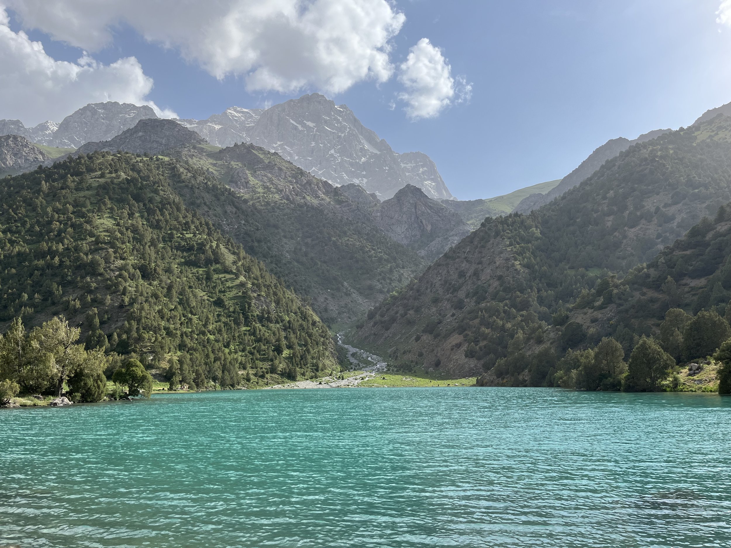
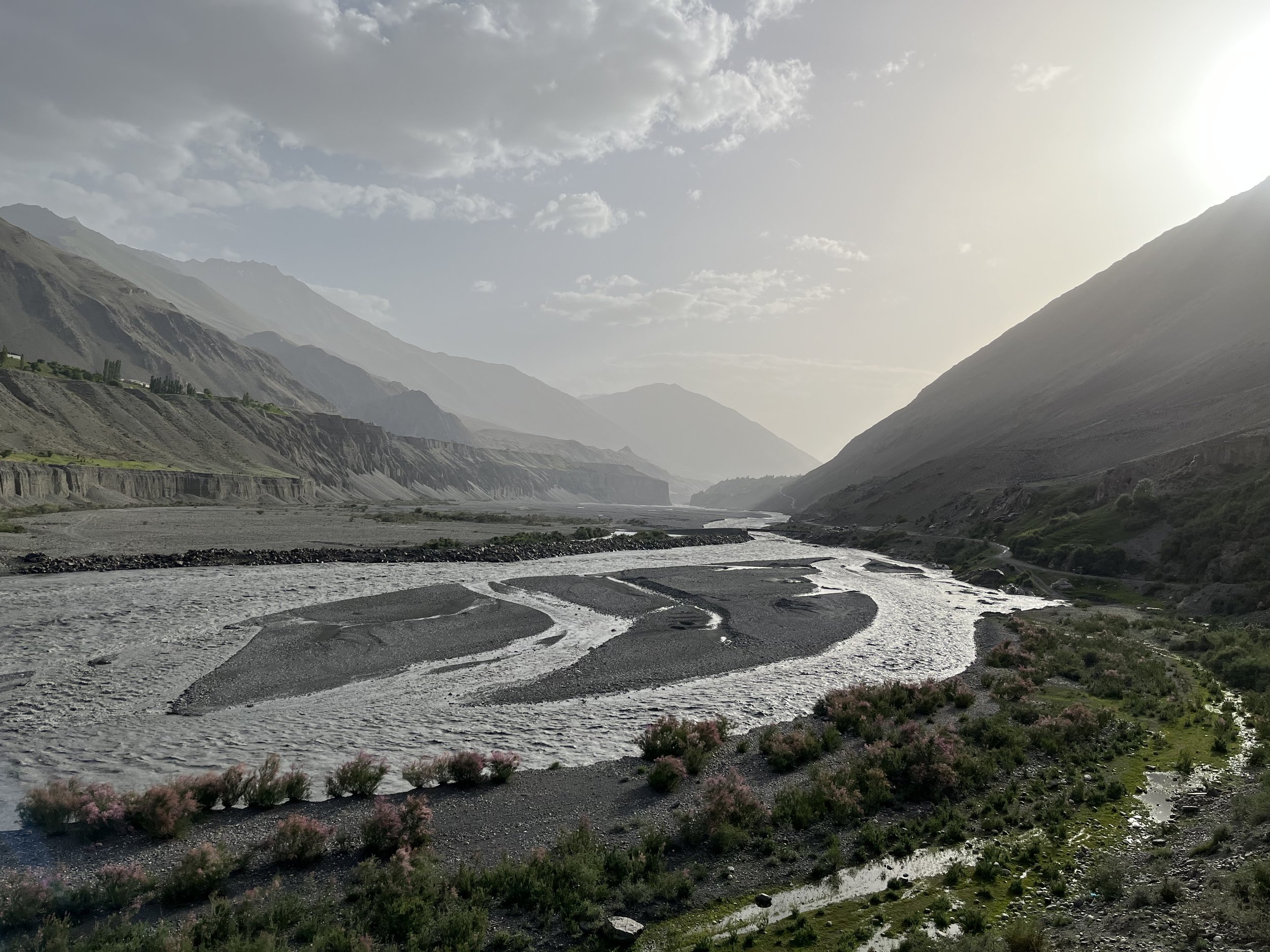
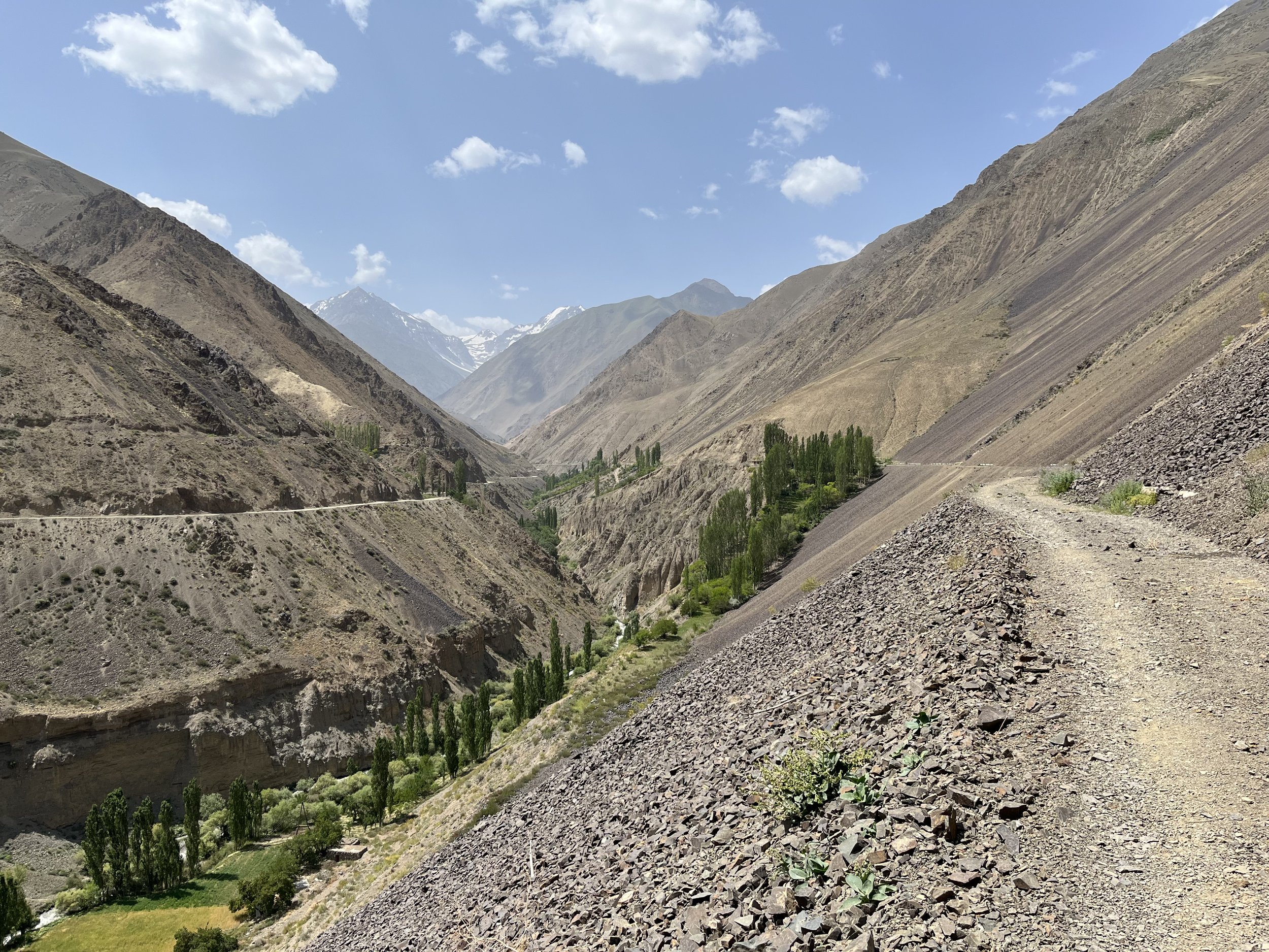
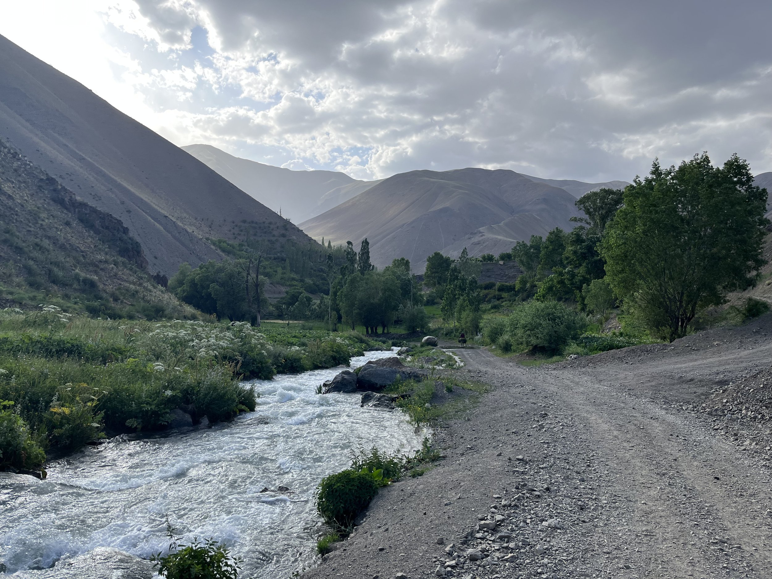
The Zarafshon Valley Trail in Tajikistan is a unofficial 400km network of tourist treks, shepherd trails, and village roads up and down the Zarafshon Valley (often spelled Zeravshan or Zarafshan). These route are notable for being perfect in terms of weather and temperature for hiking in the spring and fall, whereas the popular higher altitude trekking routes in Tajikistan are generally only accessible mid-summer until early fall, due to lingering snow in the spring and early summer, and fresh snow in the mid to late fall.

Basic Trail Information
Status: Unofficial, but you are permitted as a tourist to walk anywhere there is a GPS track on the map (see below). I have walked about 80% of the current GPX route.
Permits: None required beforehand. Possibly one camping/hiking fee ($2 per person per day) to be paid in one area for just two days ($4 total), but the fee collector is usually not here in the off-season.
Visas: Tajikistan offers a 60-day e-Visa online for many nationalities, and a 30 day visa free visit is available if you show up at a airport or land border crossing (but with a time-consuming bureaucratic trip to an office to register yourself). The system is unreliable. Check Caravanistan for the latest info.
Best Season: The lowest elevations are almost always snow free, but for a springtime visit it’s best to start your trip no earlier than the first week of May. Early May is generally when the blossoms start to bloom and the green leaves follow (but it varies year to year, and according to elevation). I would suggest finishing a spring hike by mid-June at the latest, as the increasing temperatures will make uphills difficult and unpleasant. After this point in the summer you can start to look at the more popular high elevation treks in Tajikistan. For an autumn visit, the fall temperatures get tolerable at the low elevations here in about early to mid-September, and you should be finished by mid-October to avoid the snow up high and the start of the rain.
If you are here in the summer to early fall, you should aim for higher elevations in the Fann Mountains and the Pamir Mountains. For longer distance trails at high altitudes, try the Pamir Trail or the Sogdiana High Route.
Direction of travel: For a springtime visit, you should go from east to west, starting in Langar. For a visit in the fall, go the opposite direction, from west to east, starting in Moghiyon. The logic here (in the spring) is to leave the highest elevations in the west (Fann Mountains) for the later part of your trip, giving the snow a chance to melt up high. For the fall, you should do the higher elevations first so that you don’t get snowed on at the end of your trip in the higher western-most sections.
The route is shown in the map below. You can explore the marked route in Google Earth.

Dangers, difficulties and annoyances
As of 2025, getting your 60-day e-visa for Tajikistan is the real difficulty. The short version is that they make the process difficult, create delays and reject a certain number of applications to encourage you to pay a facilitator’s fee to guarantee your application is successful (the facilitator then pays them). Pay the fee and your application is approved on the next business day or the day after. Info on how to navigate this process at Caravanistan.
Next is going to be language difficulties. In a few of the guesthouses there is a little bit of English, but not much else - some of the bigger villages have kids who are studying English. Do your research and plan ahead of time and this won’t be a problem.
Transportation to and from the trailheads is a bit chaotic, hectic and unpredictable. But you will eventually make it to where you need to be.
Some foreign visitors do get sick here (from water and/or local food). Filter your water, be careful what you eat.
The small food shops you resupply from do not have a great selection.
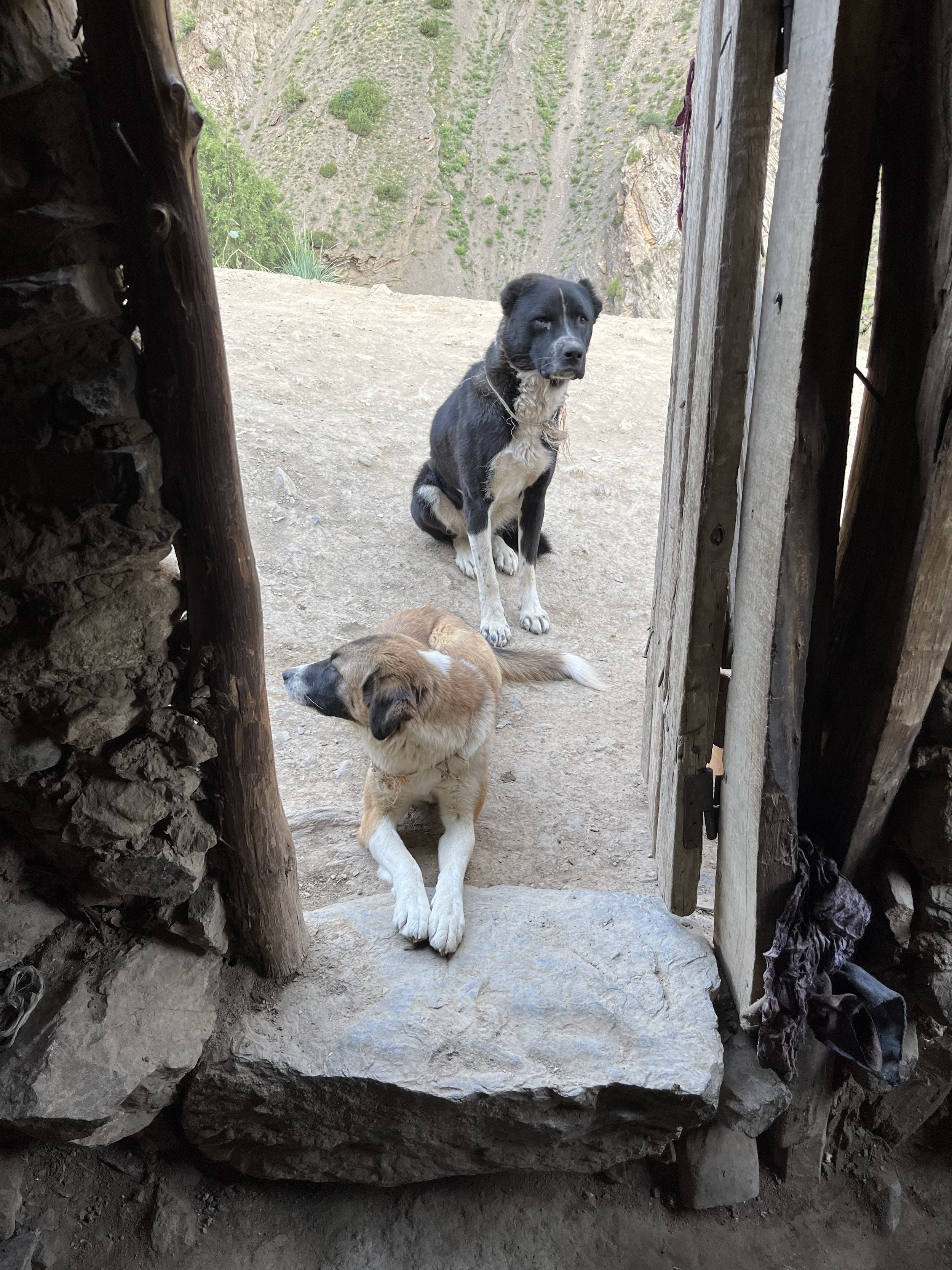
Shepherd guardian dogs and some village dogs are scary, but easily managed if you follow some basic guidelines (scroll down the page at that link for the section on guardian dogs).
Bad mobile signal, or a good signal but not through a company you have a sim or e-sim card for. Away from the bigger towns there is no signal at all. The current process of registration of your phone and separately of your person is so onerous that I skip the process and go without a mobile/cell plan in Tajikistan.
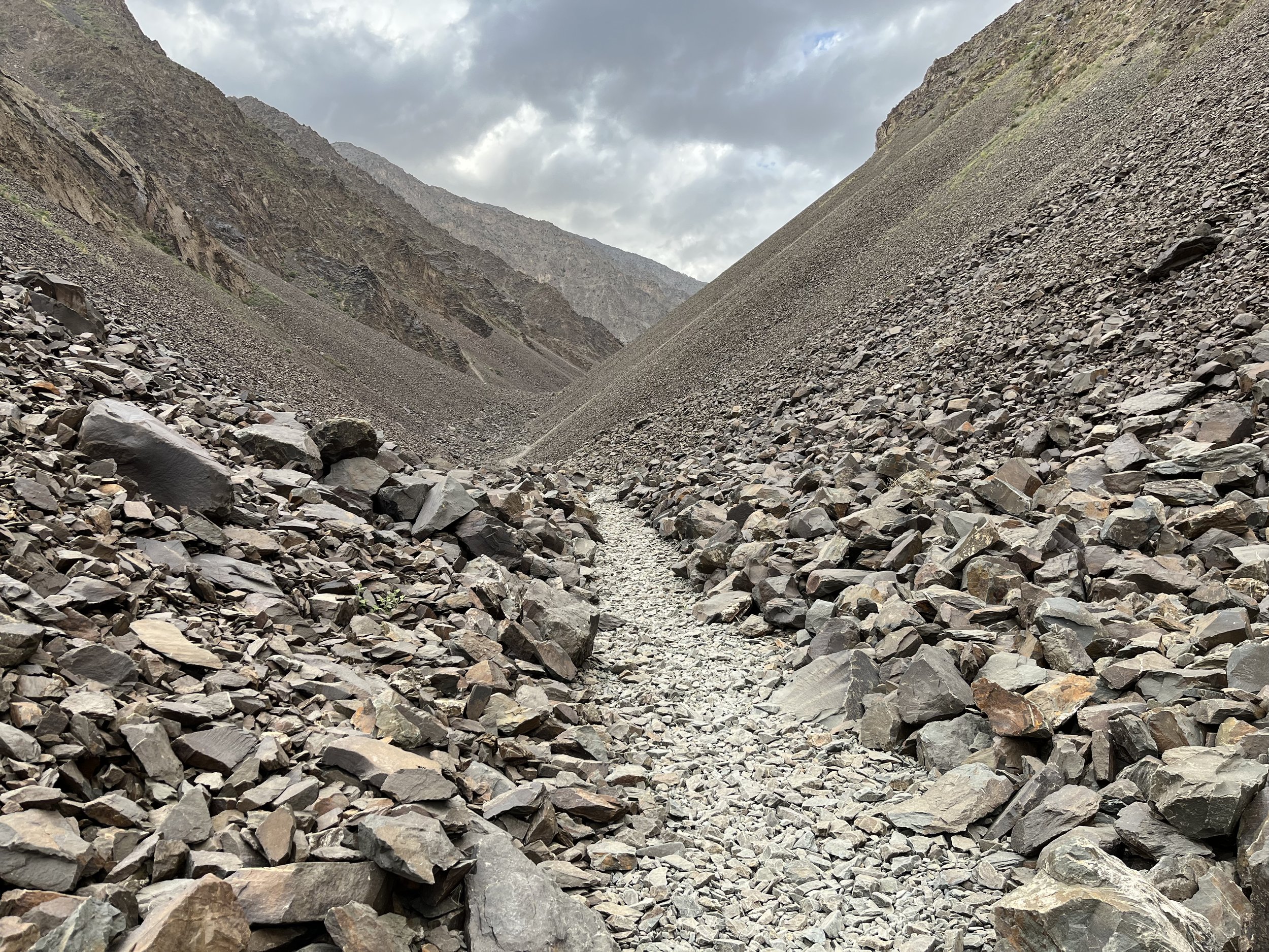
Rough trails that are sometimes steep and slippery are common.
Basically, as a comparison, the Zafafshon Valley Trail more difficult than Nepal in every way except for elevation and acclimatization, but not especially difficult by the standards of Central Asia, and easy for Tajikistan.

A disclaimer
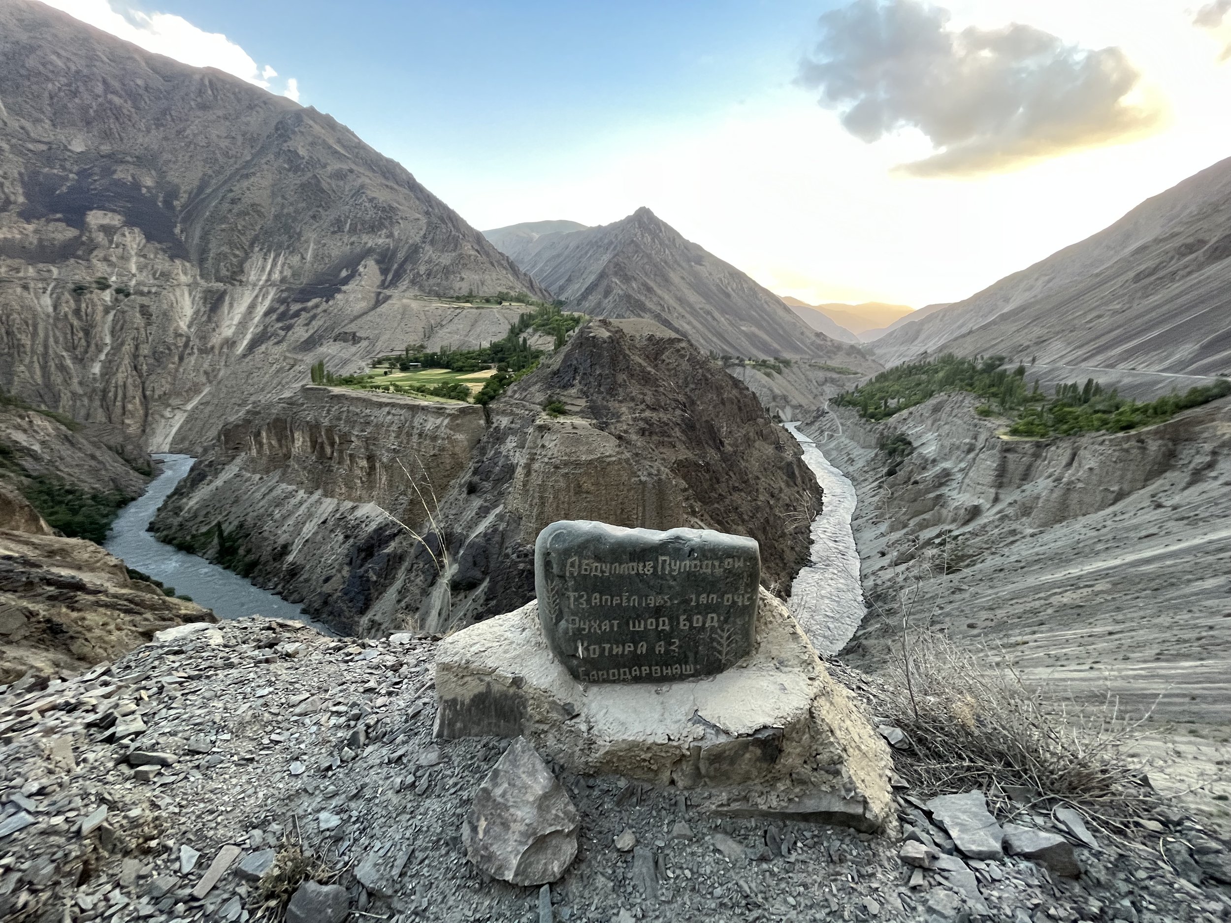
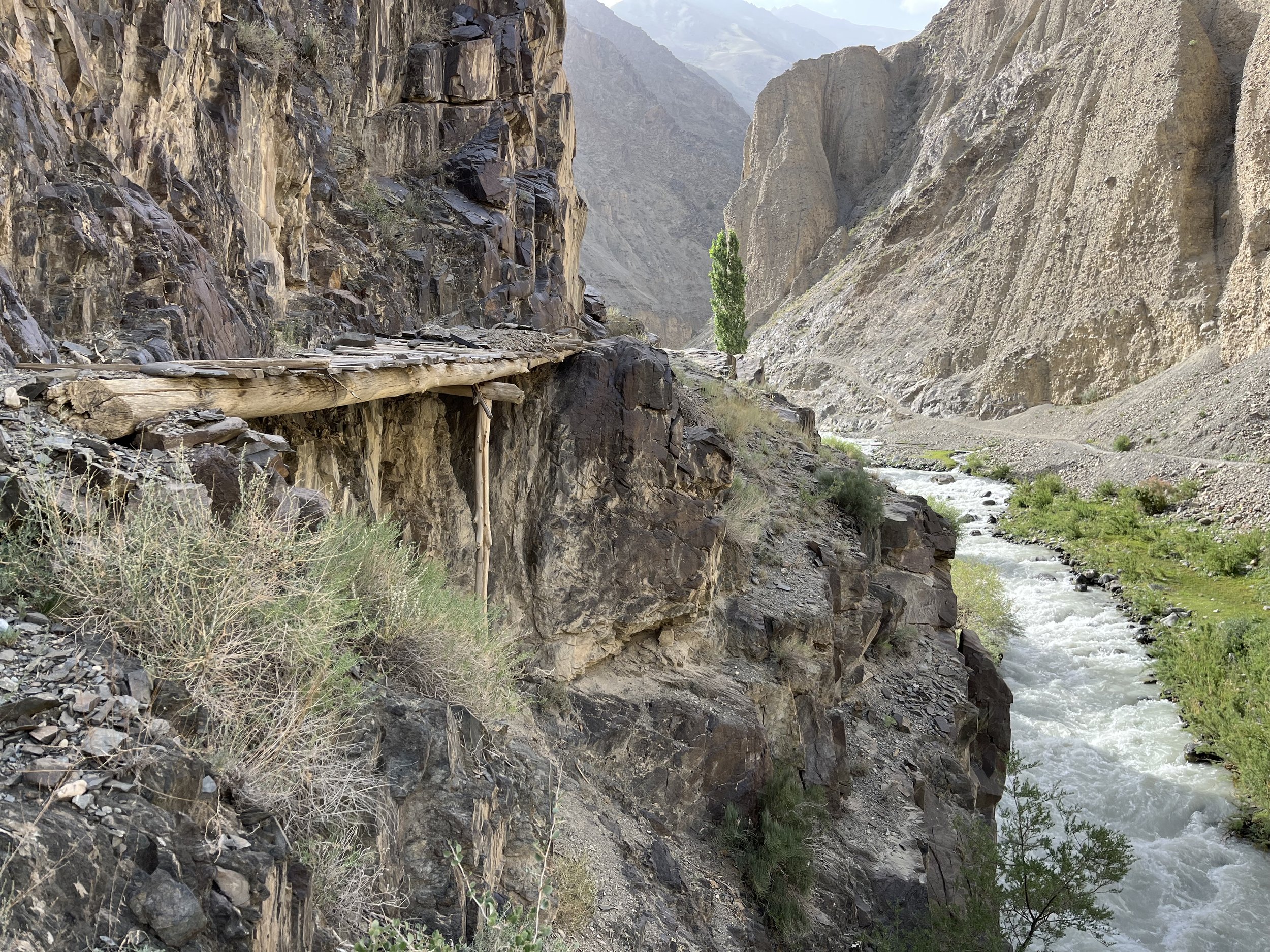
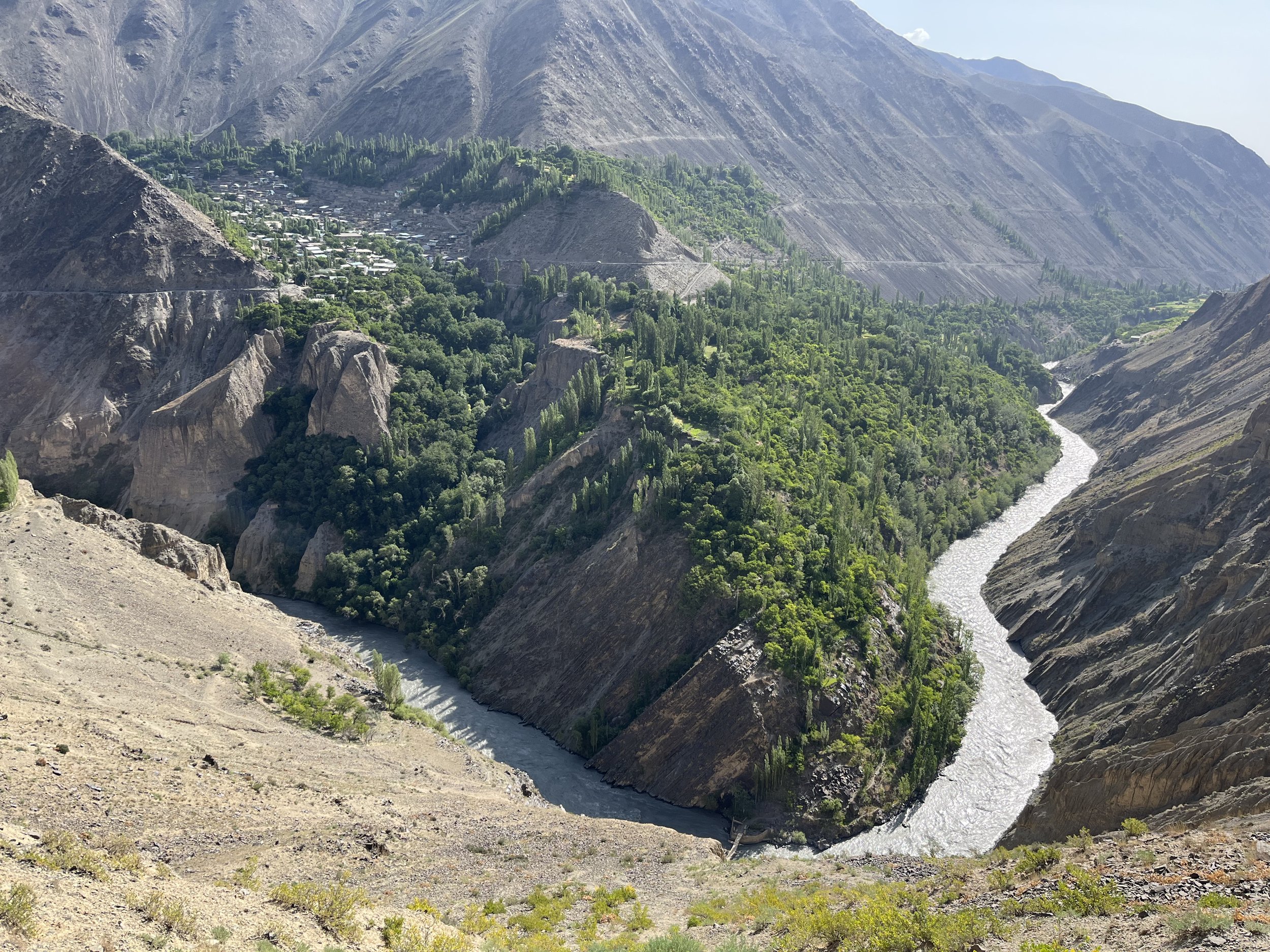
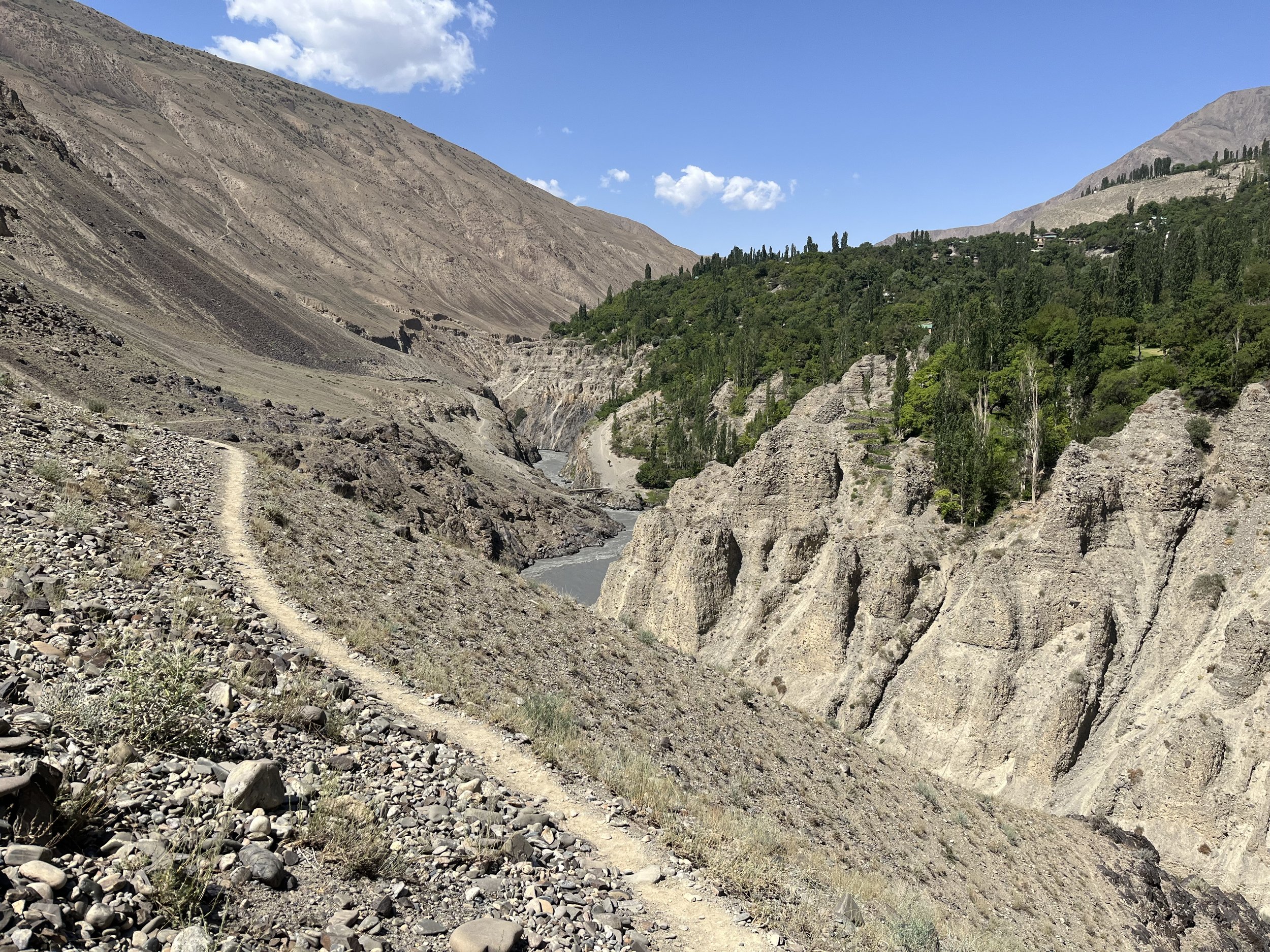
I have walked 80% of this trail, some sections multiple times, a several of them maybe 10 times. I have few concerns about the majority of the short sections I have not walked. The route from the village of Artuch to the town of Ayni is untested. But the terrain is easy and safe, the distances between villages short, with the shepherd camps and trails being very clearly seen on satellite imagery. The short sections that are of actual concern are the livestock trails on the left bank (south side) of the Zarafshon River (east of Ayni). Some of these may be skinny and have a loose gravel surface with a steep drop to the side that can be deadly. Goats and sheep traverse these trails, as do their shepherds. However, I have found what a shepherd or goatherd finds safe and easy can be dangerous to a foreign hiker - no matter how skilled and confident. Furthermore, these trails may de degraded over the winter or after it rains, and then fixed sometime later. The good news is that if you reach one of these sections, it is really not very far to turn back to and detour over a bridge and to the roads on the other side.
Why is a route that has not been fully hiked being posted online with a GPS track? It’s because I have been to this area a dozen times and every time I find a new and better route. Or I decide that a section I hiked was boring or unpleasant, so I mark an alternate route that I think is better (but untested and not hiked). It’s a “work in progress” of a route that could change due to me or someone else finding a better route option, or the route needing to change due to a bridge being destroyed, or a nice pleasant trail getting bulldozed into a dusty car road. If I wait for the route to be perfect, I’ll never be able to actually post it online.

Who is the trail for? Who will enjoy it?
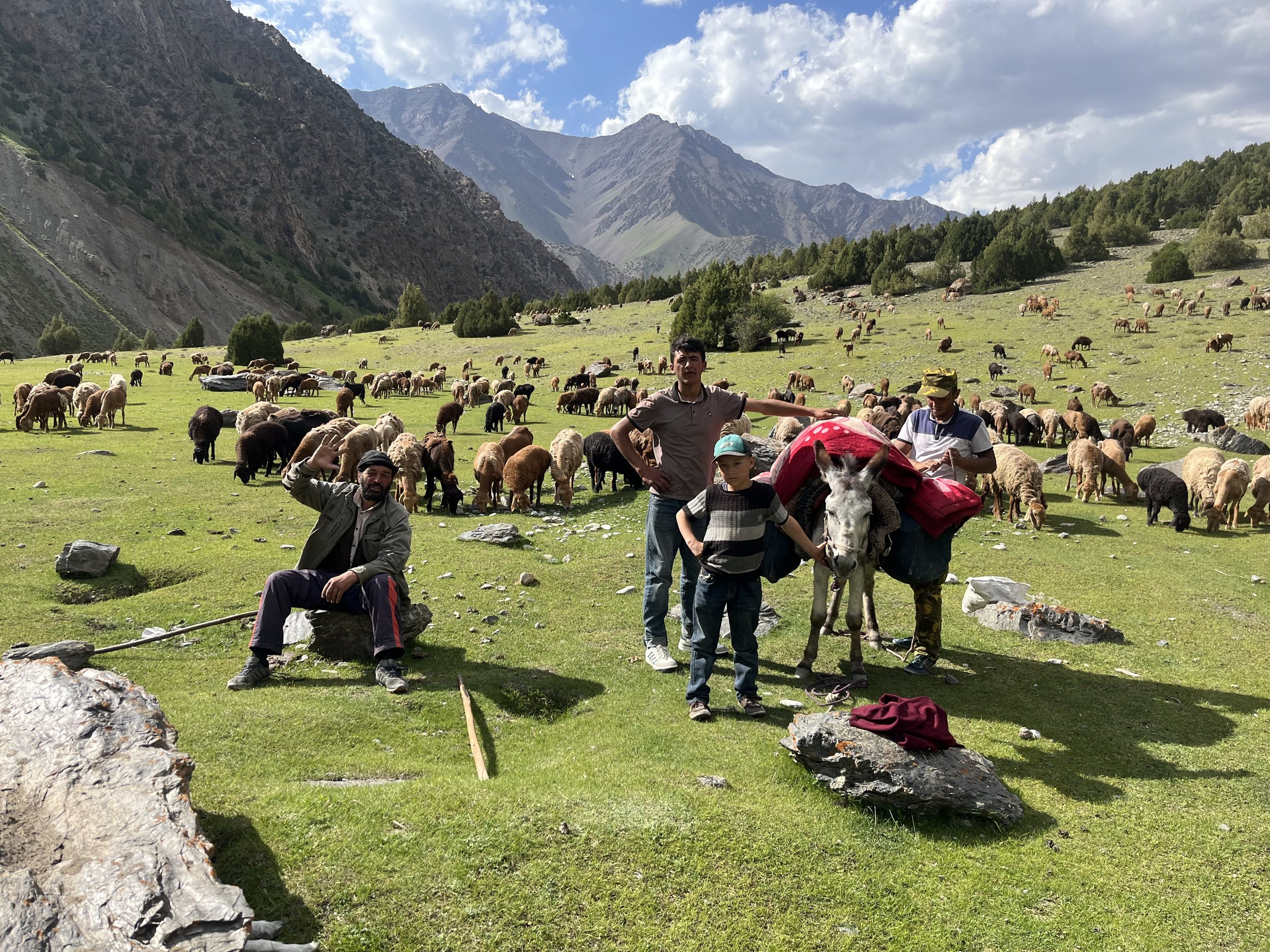
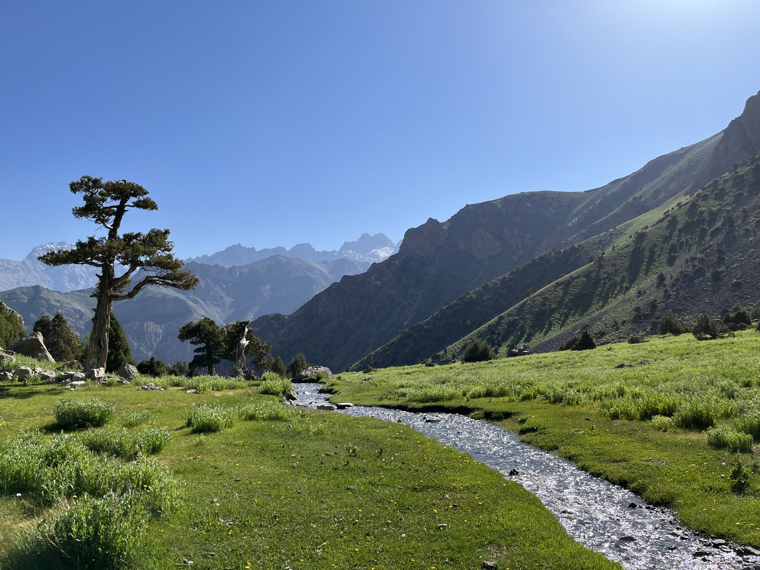
This route is heavy on village visits. If you like rural mountain villages, then you should enjoy the route. Some of the villages see tourists regularly, but most others never see tourists. In the second type of villages you will be the center of attention (this may wear you down if you like privacy and minimal interaction). If you are social and energetic, you should be a perfect fit for village visits. Note that the photos on this page are overwhelmingly nature photos, and with few shots from in the villages, as that’s not my personal interest. There are some great opportunities for people and village photography if you want - but ask permission (and never photograph girls and young women).
Do you absolutely hate road walks? Then this route may not be for you. Most of the road walks are village streets, farm roads and small mountain roads that are rarely used, but this route is very far from being mostly single-track path.
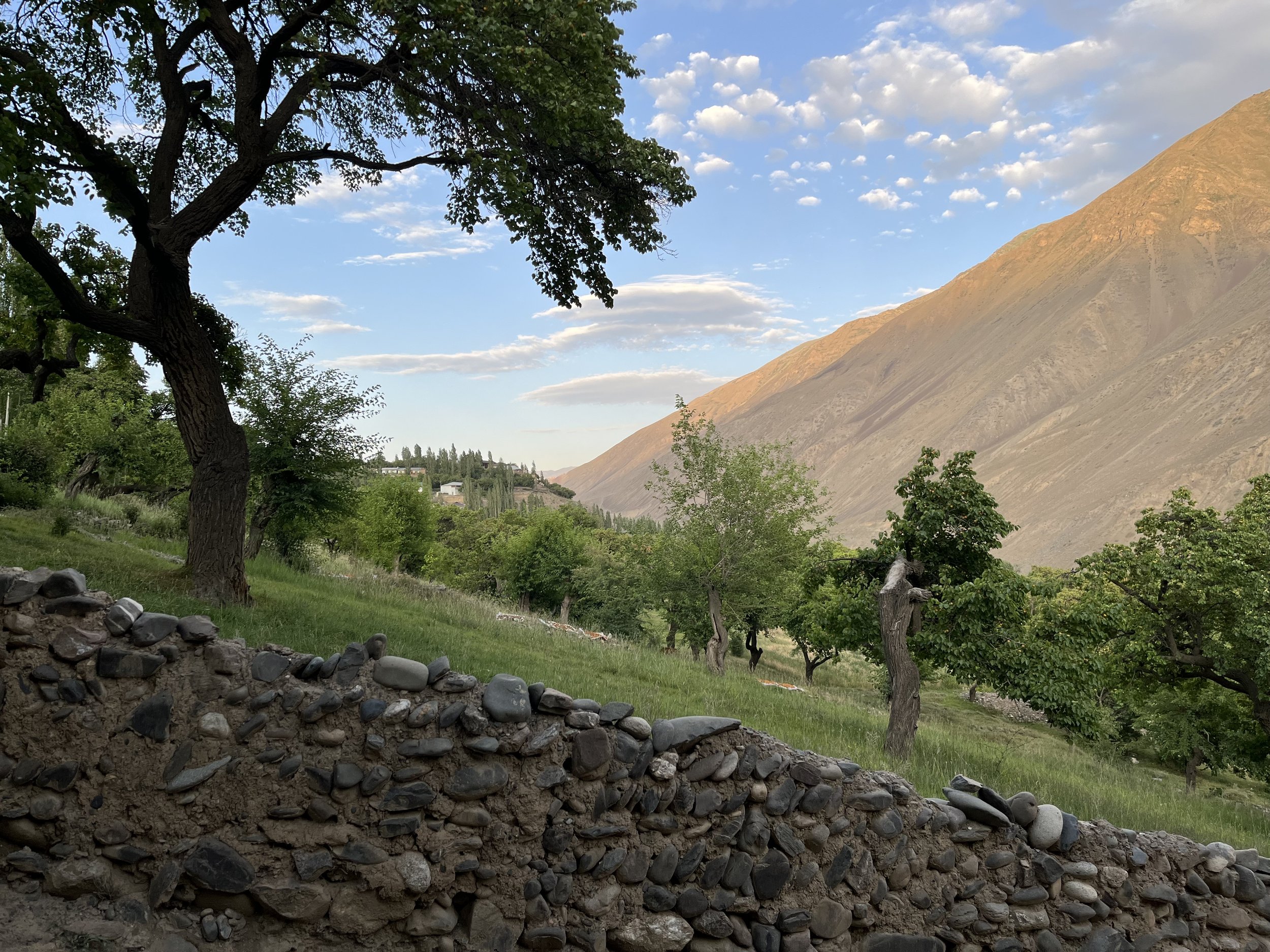
If you are interested in mountain agriculture (fruit orchards, walnut trees, wheat, potato fields, etc.), then you’ll often find something to engage your attention. If you like sheep, goats and friendly cows, plus the shepherds, then you will have lots of fun. If these things bore you, or are interesting only once, you may start to lose interest in the route.
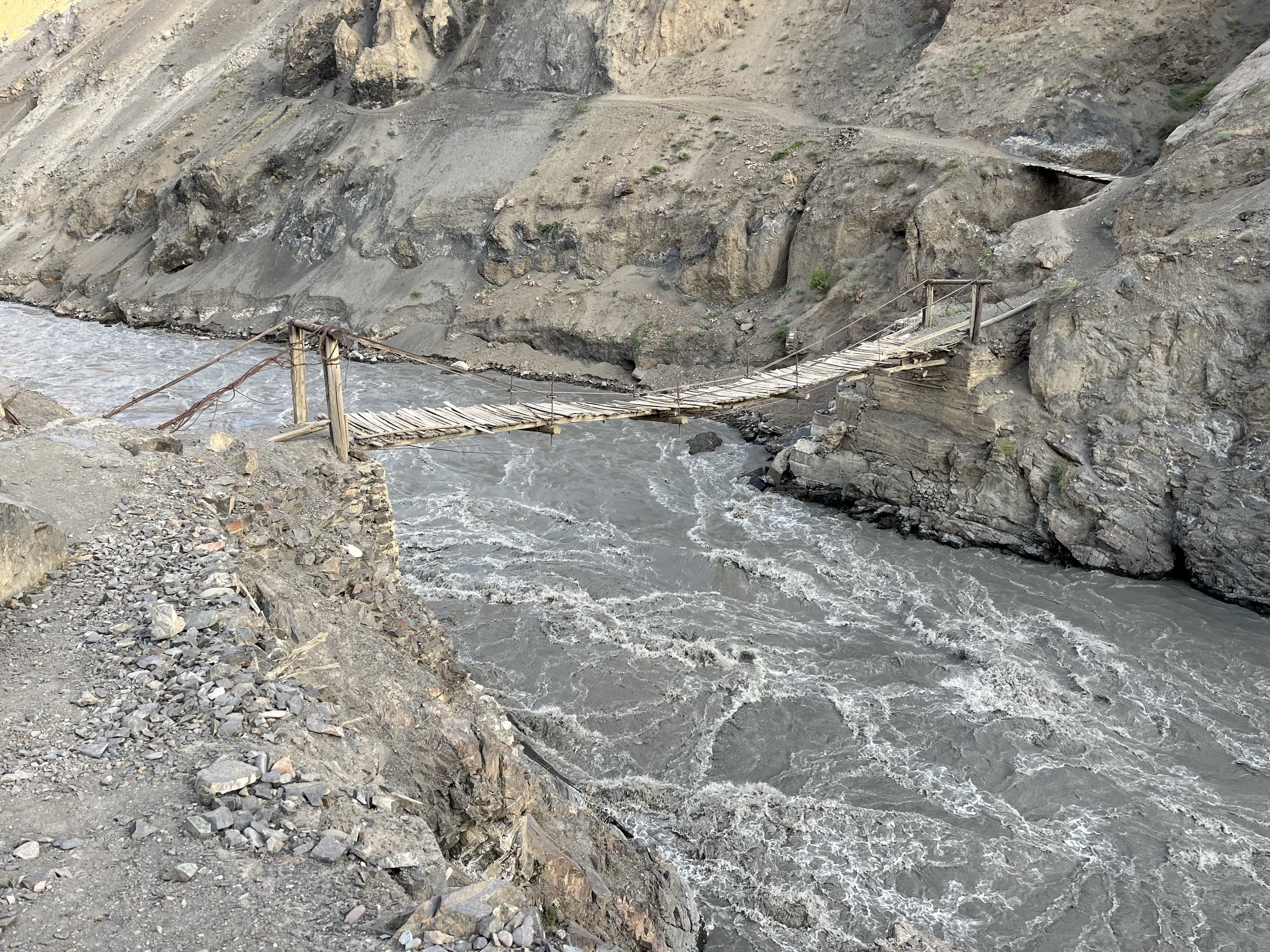
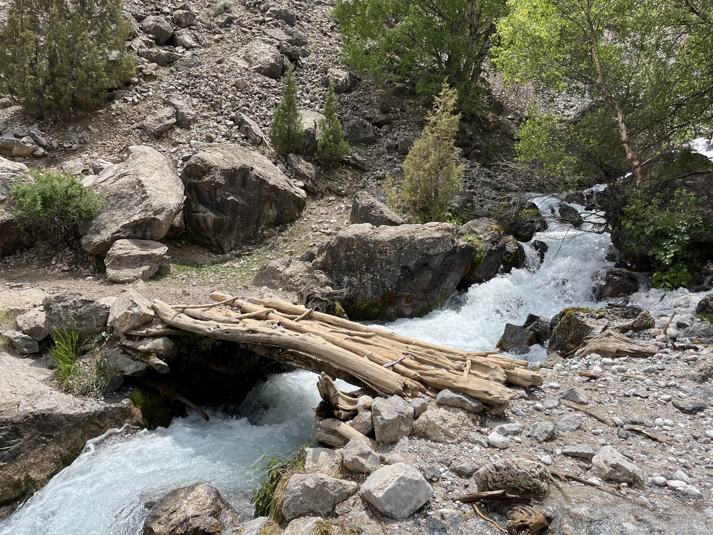
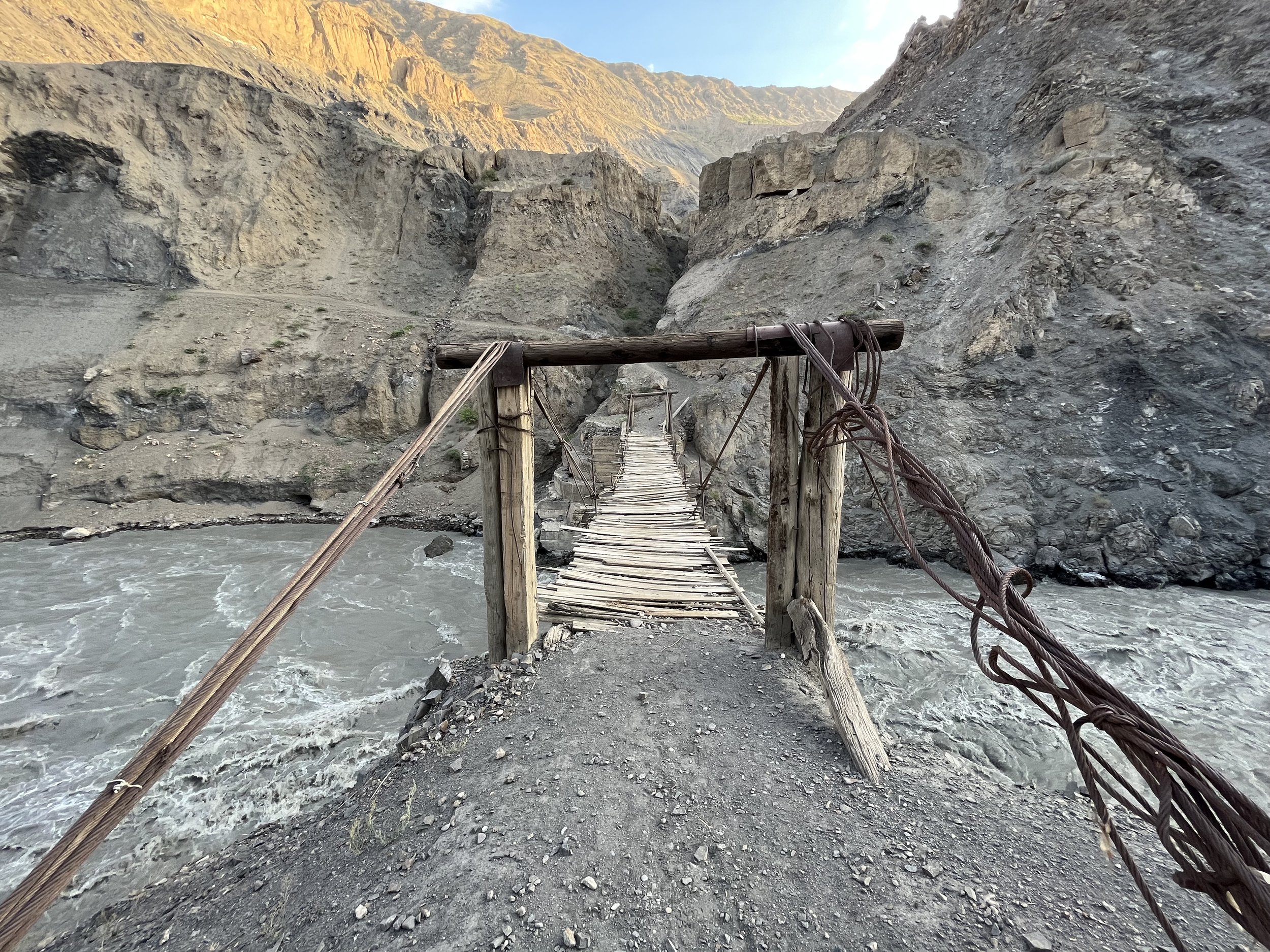
Do suspension foot bridges over a massive gorge with a raging river below scare you? Especially considering there is not exactly a perfect safety record with these bridges? Then you may not like this route. If you like this sort of thing, you can definitely visit a wide variety of wild and scary bridges.
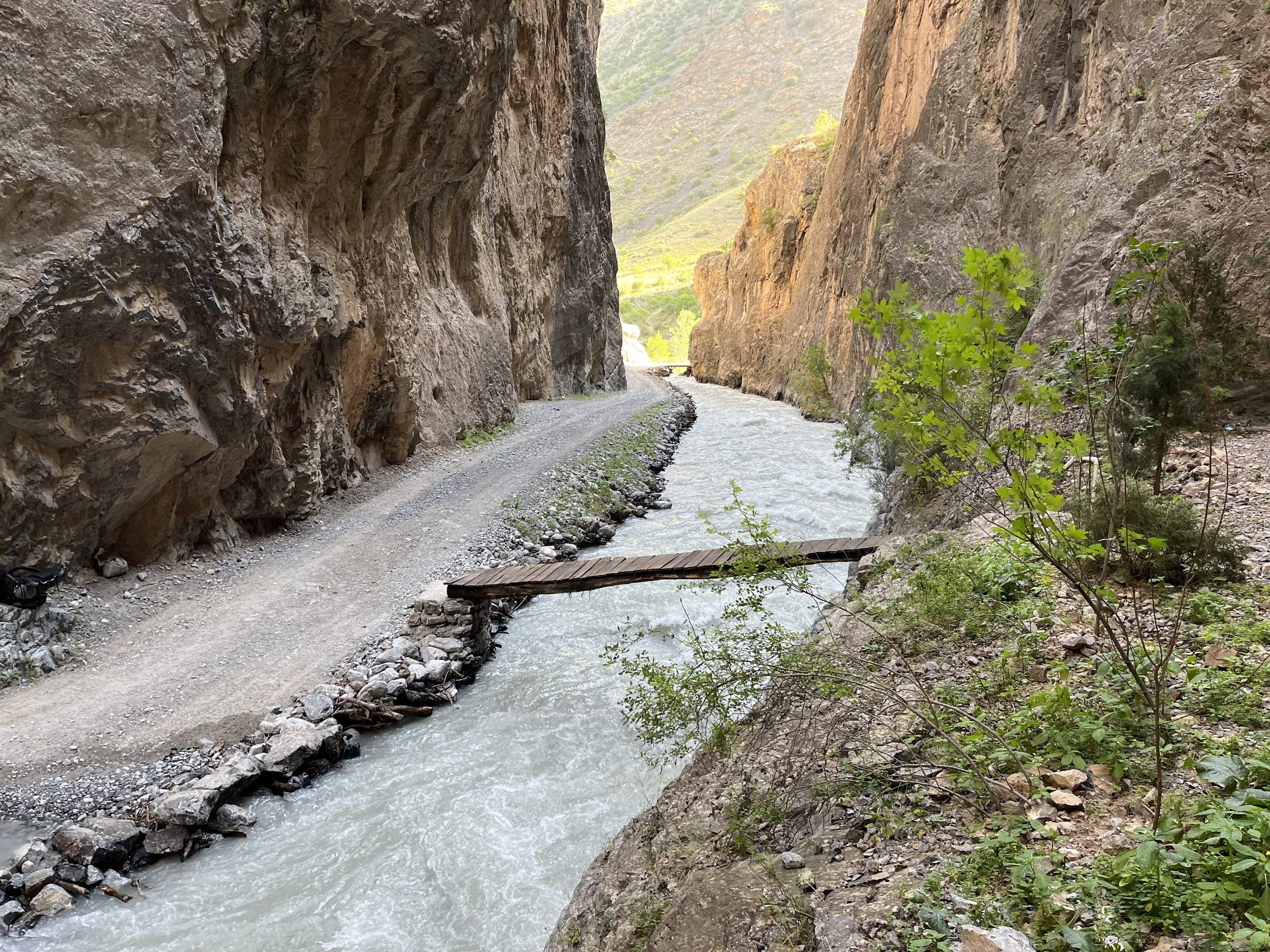
How do you feel about rough trails? These are not smooth maintained trails. They are for sheep and goats. Sometimes they are very rocky or very dusty. In some places they are next to steep drops and the trail itself is skinny and slippery.
How do you feel about unpredictability? It’s common for the food shop on the map to be closed or shut permanently. Sometimes guesthouses and homestay are no longer operating or temporarily closed (maybe the entire family went to a wedding? Or to make a trip to a big town. Who knows?). Sometimes a bridge is destroyed, and you will need to find a new one or make a lengthy detour.
Video below: a look at the lowest parts of the eastern section of the Zarafshon Valley.
When to start your hike
The first week of May is the best time to start for an east to west hike. Start in Langar, end in Moghiyon. This will get you leaves on the trees. Any earlier and you will not be able to do some of the higher side routes, which can be quite interesting.
For a west to east hike, you can start from Moghiyon as early as the first or second week of September. Earlier than that and it will be too warm down low to hike comfortably.
How to get to the trailheads
Moghiyon
For a start at the western end in Moghiyon, you first need to get to the city of Panjakent, an easy destination to reach if coming from Samarkand in Uzbekistan.
For getting from Panjakent to Moghiyon you can use the regular shared cars that leave from central Panjakent. The shared taxis to the trailhead in the village of Moghiyon can be found on Panjakent’s main road, 150 meters south-east of the central bazaar. This is clearly marked (“Moghiyon Shared Taxis”) on any regularly updated app that uses Open Street map data. Here you will find a side street and shared taxis lined up both on the side street and the main street. You will likely be approached by drivers looking to take you on an expensive private tour to the Seven Lakes. Say ‘no thanks’ and ask for the Moghiyon driver(s). Likely you can’t pronounce the ‘gh’ in Moghiyon, but they will perfectly understand ‘Mogiyon.’ The drivers to Moghiyon actually service both Moghiyon and the numerous villages and neighborhoods nearby. So specify ‘Moghiyon bazaar’ (on the map it is labelled as “Chorshanbe Bazaar”).
I paid 25 Somoni for a seat. This is the local price, and very cheap for a destination in the Fann Mountains. The low price is due to the fact that tourists almost never go to Moghiyon, so the drivers are unaware of the practice of asking 3 to 20 times the local price. 25 Somoni is $2.50 at 2022 exchange rates, so when you go, check what $2.50 is at the current exchange rate. Also, expect the price to rise (in USD and Somoni), as the future of energy prices in Tajikistan appears bleak. Or you might get the tourist price, another foreign tourist paid 75 Somoni for this route a few years ago.
The drive is 45km, and the second half is on rough dirt roads. The route will be the same as the route to Shing and the lower Seven Lakes until the final 3rd of the journey when you leave the road in the gorge and head up to Moghiyon. The road is steep and slow, with views of a massive gold mine on the opposite side of the valley. Your driver may drop people off in front of their houses in neighboring villages, so don’t be alarmed if he leaves the main roads and goes “the wrong way.”
There is a border guards checkpoint on the road from Panjakent, and they may ask to see your passport (they take it, write down or photocopy your info and hand it back). No permit needed. As with the road checkpoints in the Pamirs, handing them a photocopy of your passport and e-visa to keep will make the process go much more quickly. I’ve had to do this 25% of the time, and the other times the driver just drove past an unmanned checkpoint with an open gate. Don’t worry, you are not going into any restricted border zones - as long as you don’t stray to the southwest of the route in the western-most parts. Stay on the route here. If, for some reason in the future, tourists can no longer start their hike in Moghiyon, then start your hike in the village of Shing and road walk along the Seven Lakes (Haft Kul) until you intercept the route. I’ve done both routes, and I greatly prefer walking the trail through the Suvashi Gorge starting from Moghiyon to the hot, dusty roadwalk from Shing.
Langar
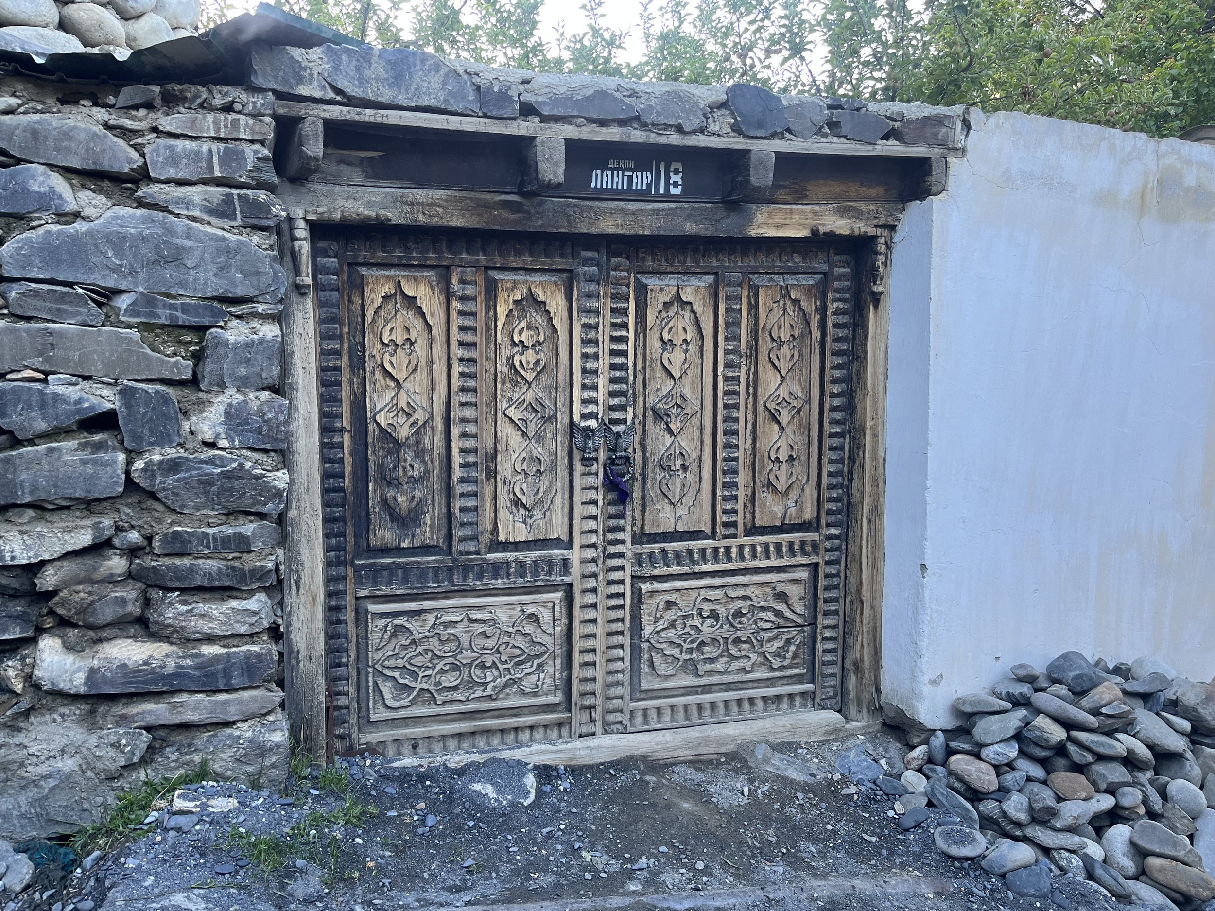
For a start at the eastern end, you need to get to the tiny village of Langar. Full instructions for getting to Langar on this page.
Photo below: the footbridge at Langar.

The Ayni Option
Instead of starting from the far western or eastern end of the route, you can start from Ayni in the middle and go either east or west, then returning to Ayni to start your trip in the opposite direction. This allows for an easier beginning to the hike, both in terms of terrain and transportation to the start of the hike.
GPS Tracks and Waypoints
As I noted above, this includes untested sections. Consider this to be exploration. Turn back and do a roadwalk to avoid any section you feel uncomfortable on.
The alternate routes and side trips
I’ll explain the side trips and alternate routes from west to east. You can see them when you view the GPS file, as either tracks or waypoints.
The first is the 2635 meter pass on a route that connects Panjakent to Moghiyon. It would be nice to walk right from your accommodation in Panjakent to start your hike, but the east-west ridge that you cross over here north-south goes right into Uzbekistan to the west. There may be border zone restrictions here. And a strange person with a large backpack will probably be reported. It’s best to take a taxi to Moghiyon.
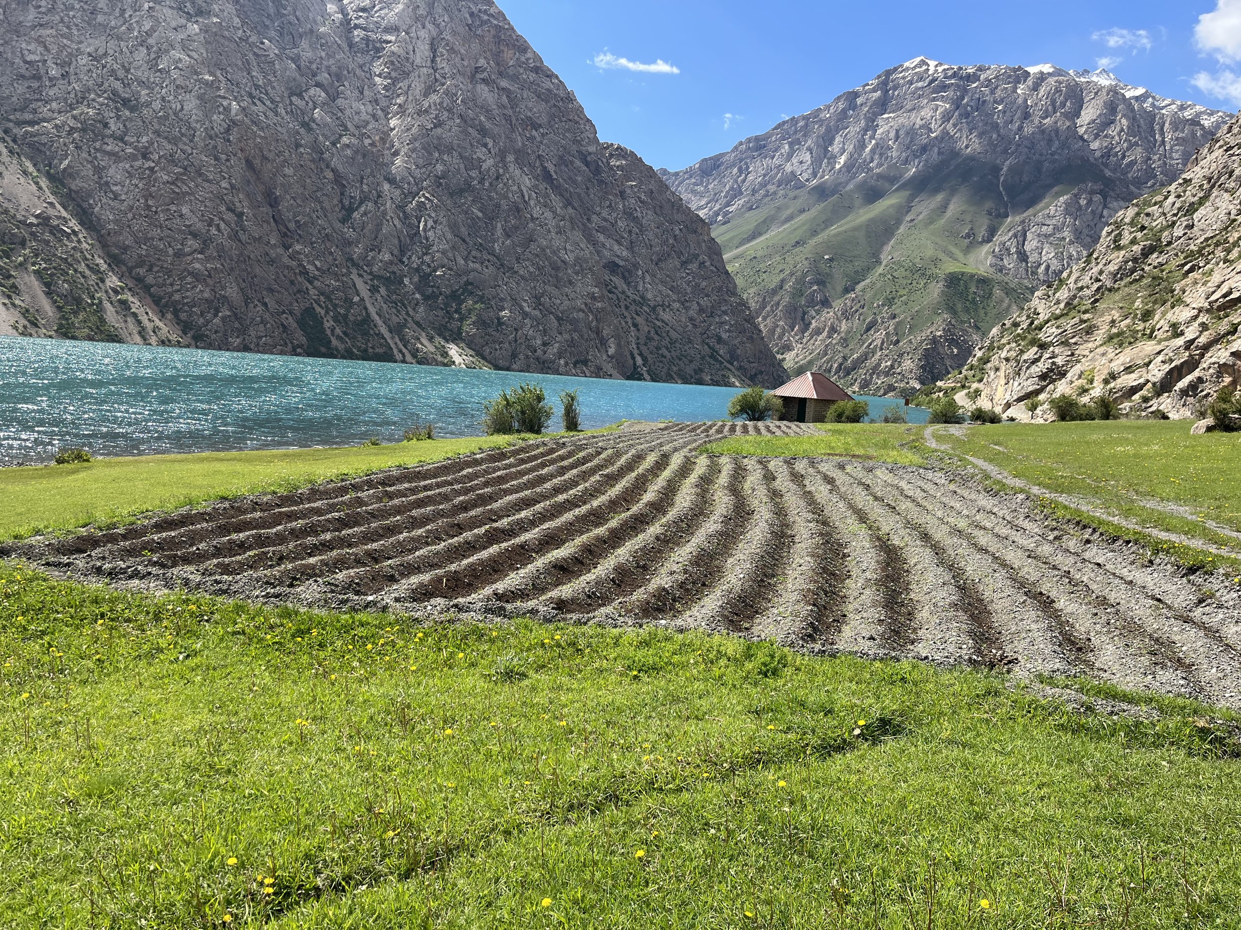
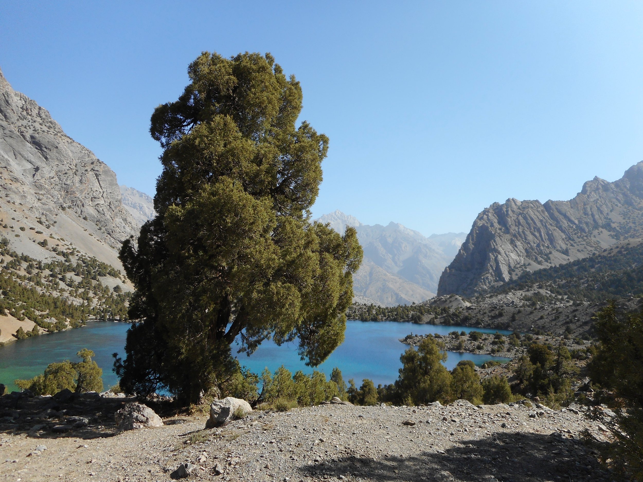
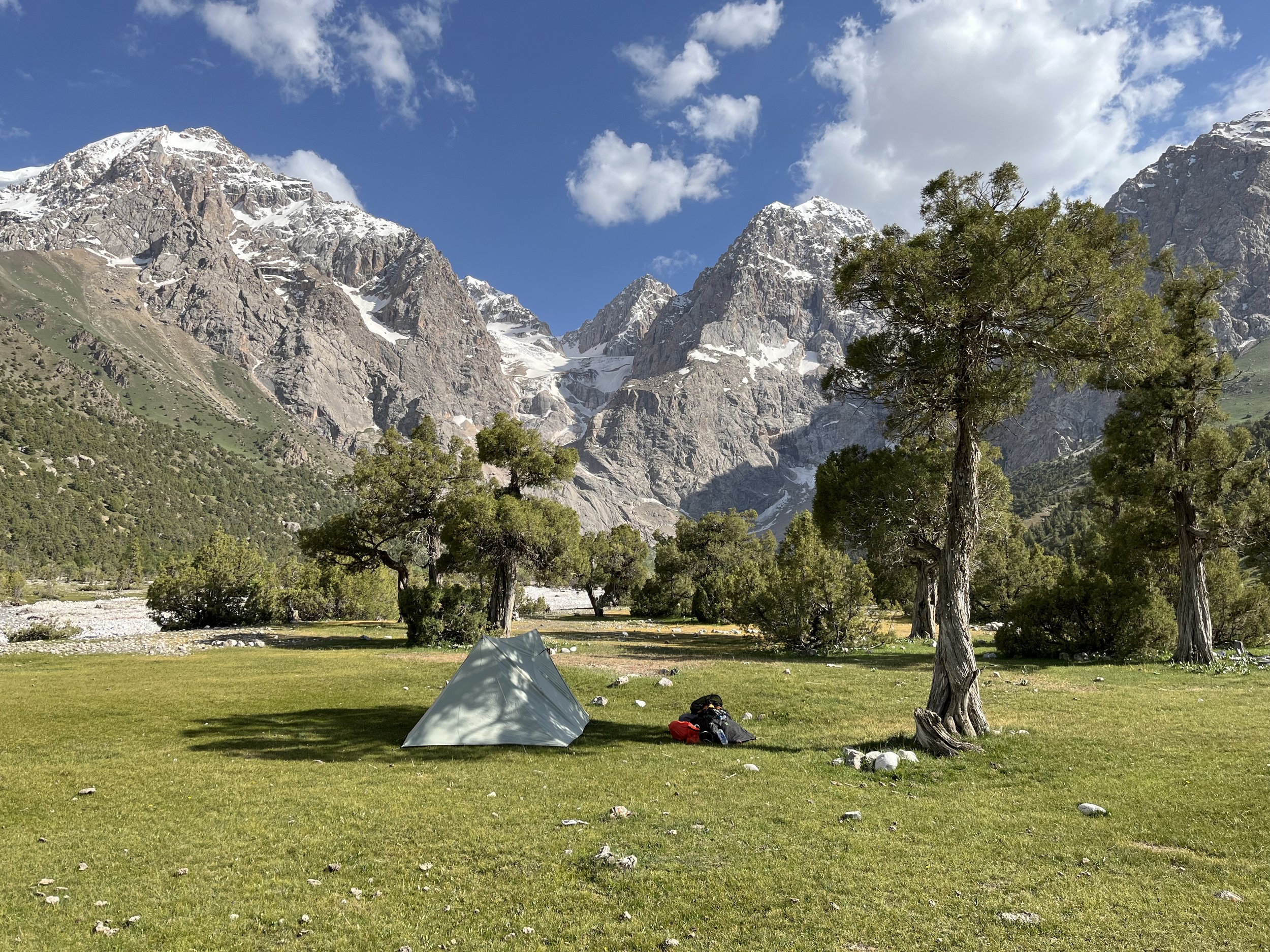
Next, there is a waypoint off the main route at the south end of Hazorchashma Lake. I like the trail along the lake, and the southside of the lake is a nice place to camp without having to deal with a large carload of tourists who may drive up to the north end of the lake.
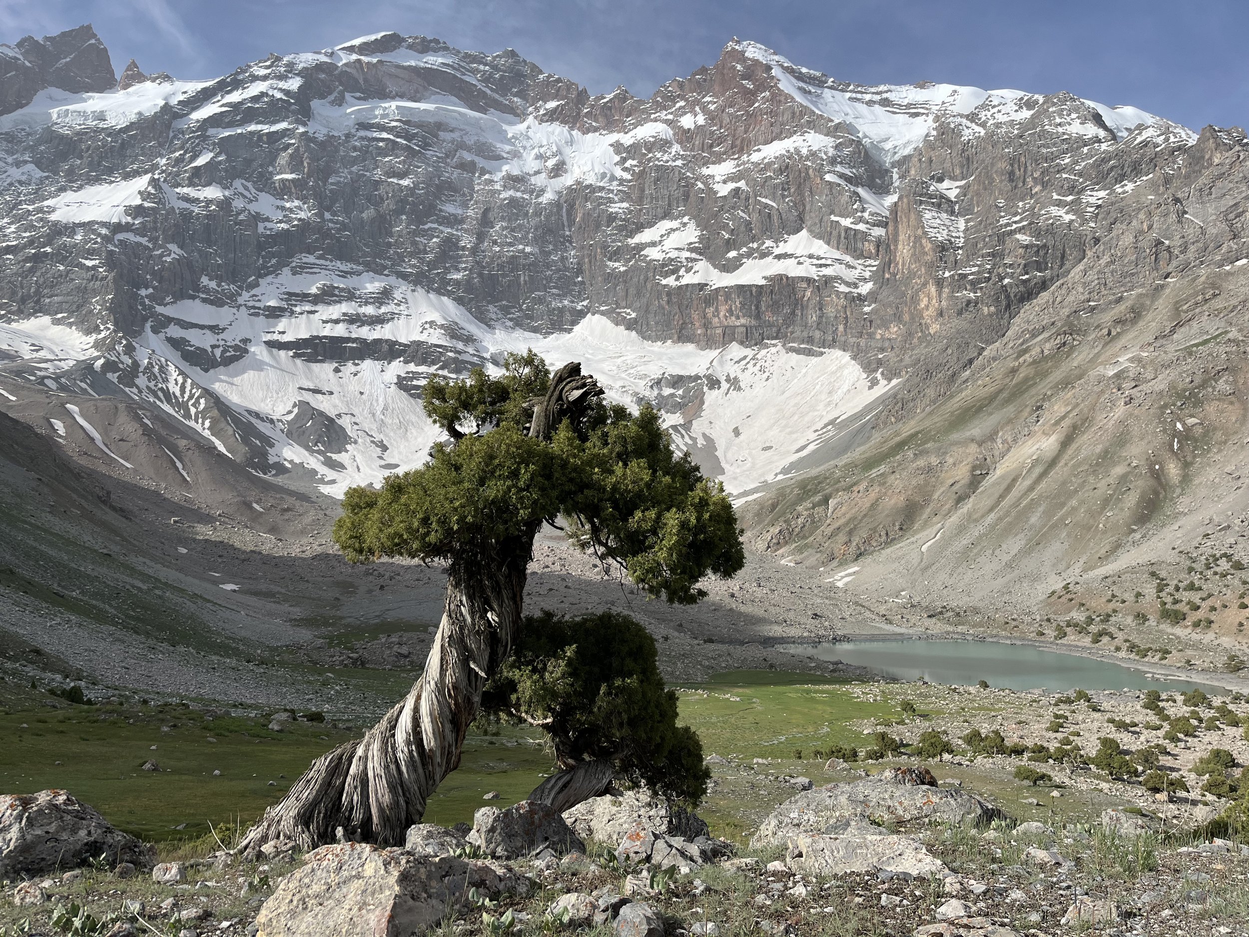
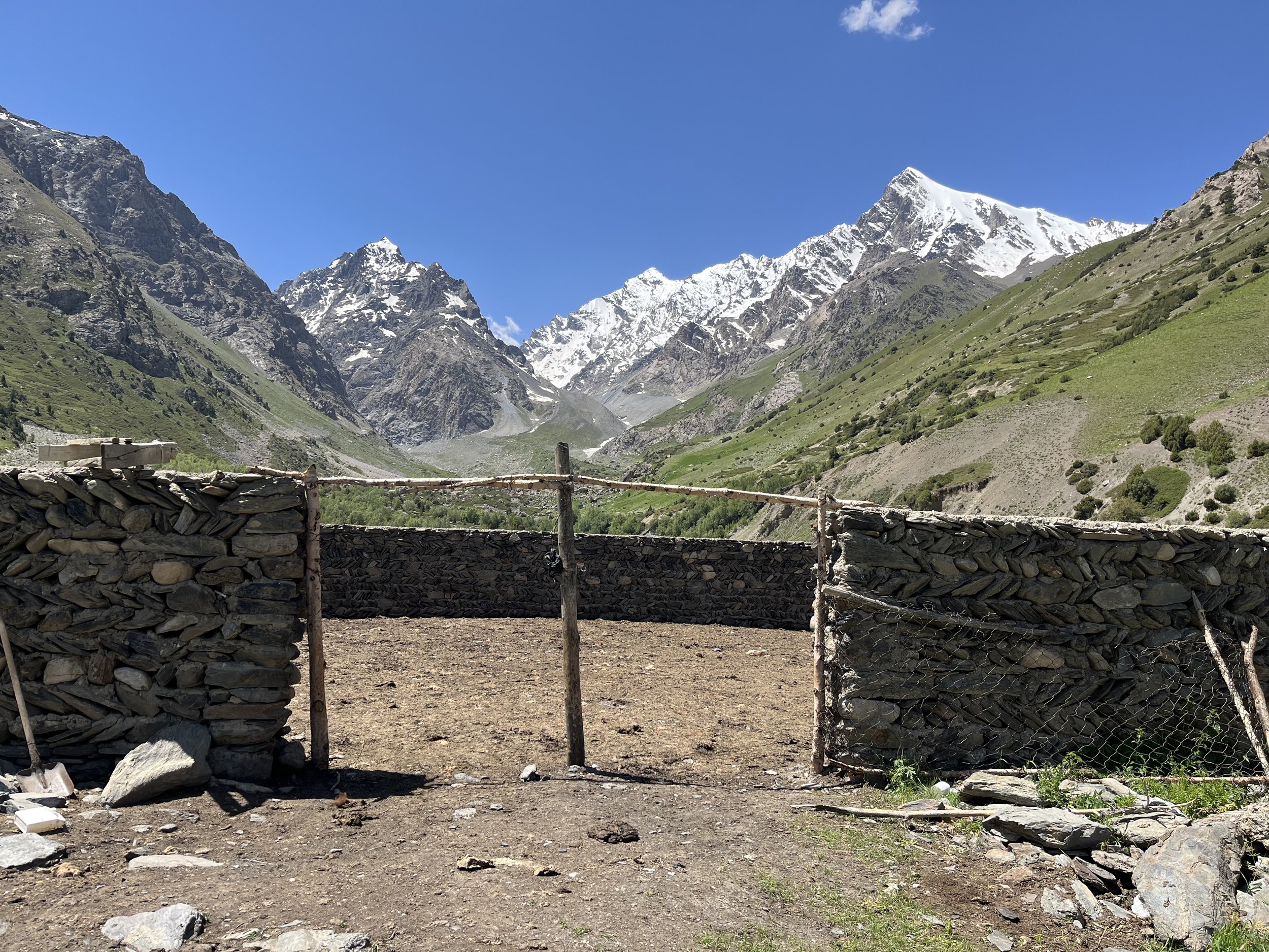
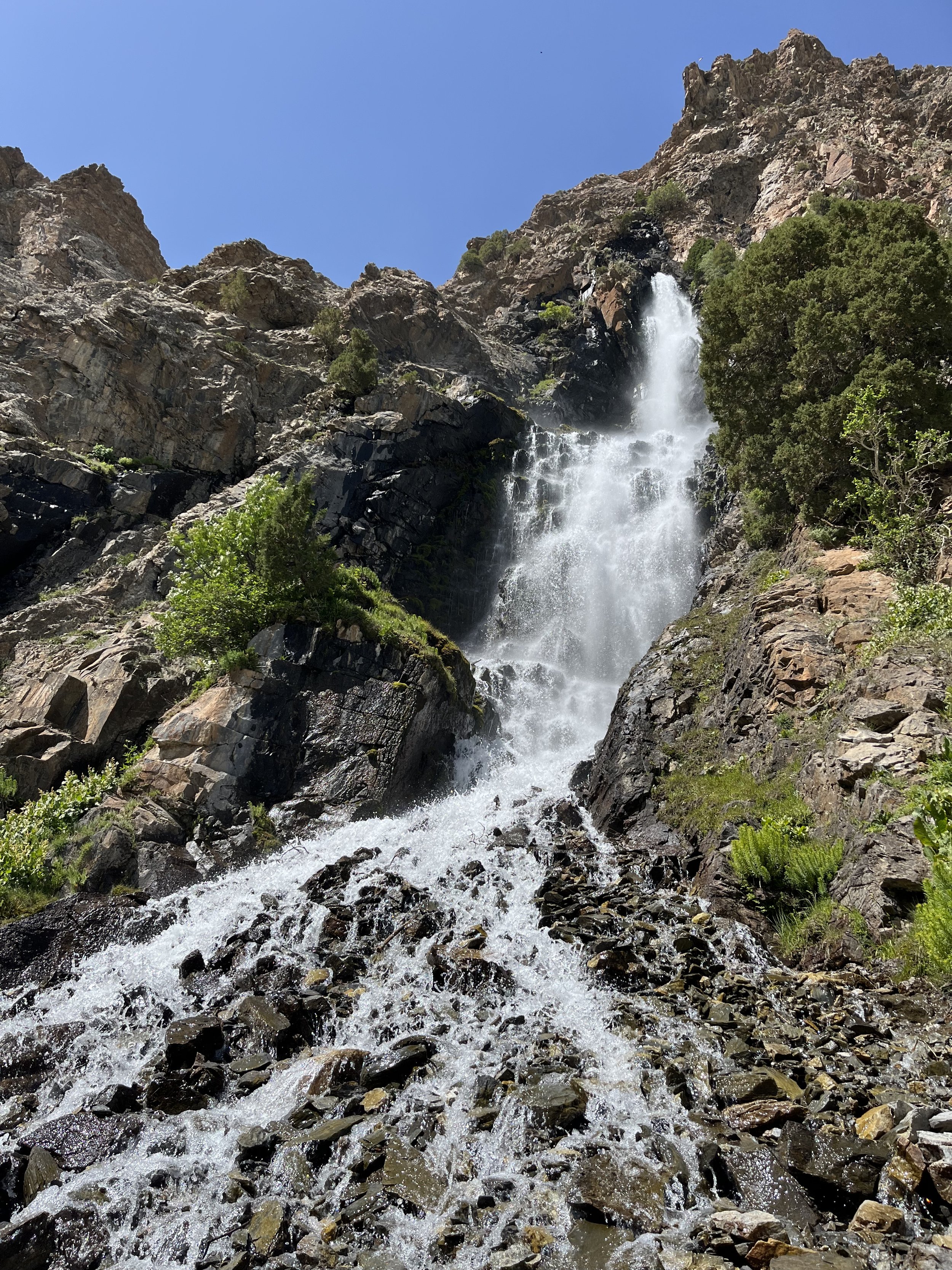
From the tiny shepherd village of Sarmad there are two options. The higher route going up and over Munora Pass depends on snow levels. By mid-June this pass should be doable 9 out of 10 of years. In the first week of June there will be snow patches 3 out of 4 years, and heavy snow in 1 out of 4 years. The other route is the obvious low route. If you do the low route, I think that a trip up to and back down from Archamaydon and Sari Khadang (photo below) is worthwhile. The shepherd trail in the gorge is quite nice and the glacier viewpoint from the birch forest at the end is a unique place.
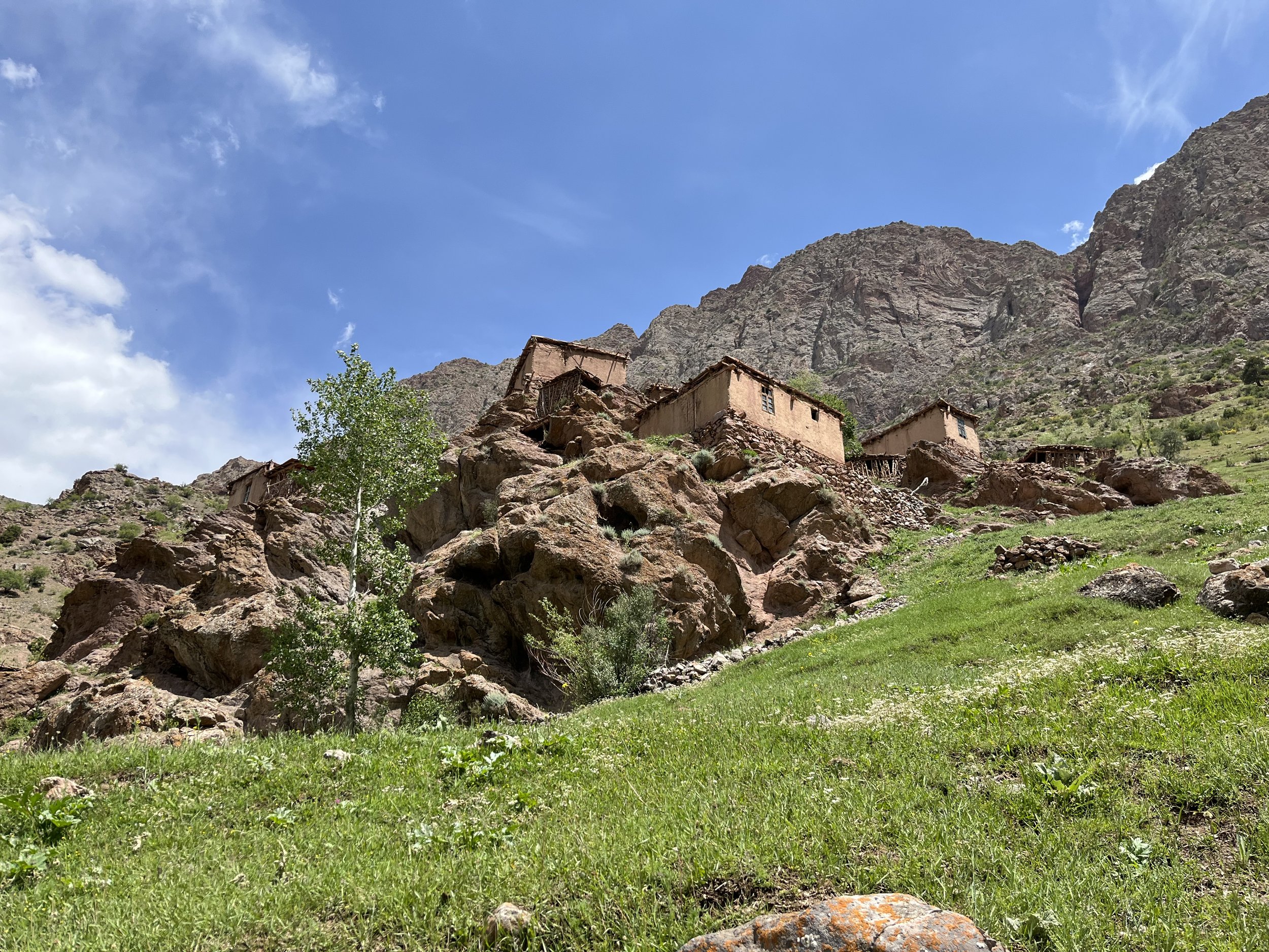
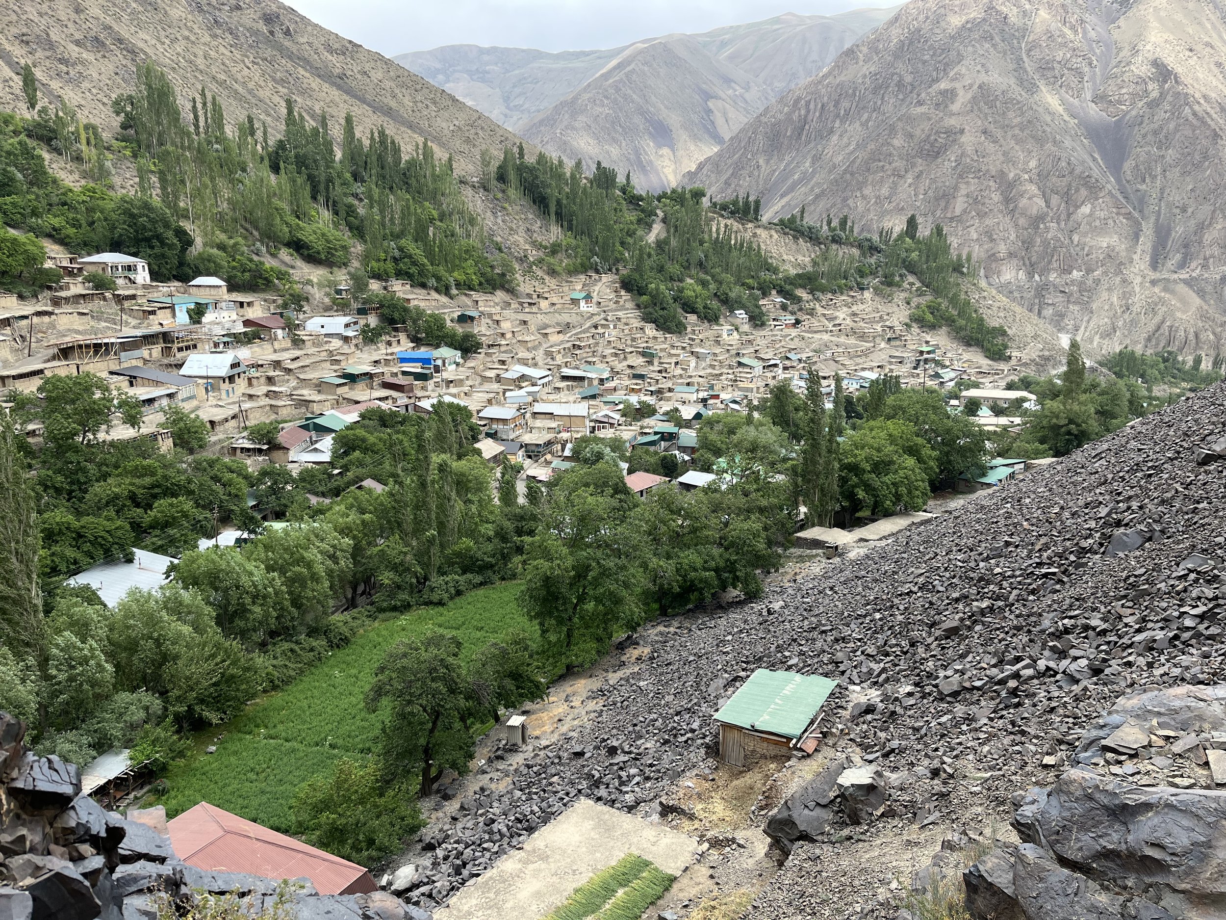
Next, you can stay on the road and skip the detour up to the village of Voru and over to the Khushtarita Valley and lakes. But I strongly suggest doing this longer route. Voru is one of very few remaining villages with traditional mountain architecture. Photos and information here. There is a homestay marked, but I did not check in person to confirm, and I can find no online trip report mentioning staying overnight in this village. Sometimes people get invited in to a house and, thinking it’s an official homestay, mark it on the map online.
Much farther east, just past the town of Ayni, are a few short sections of skinny, loose goat trails with big drops to the side. If these make you uncomfortable, you can road walk from Sangiston to Fatmev and avoid these trails.
Between Tomin and Fatmev there is another section of goat trails that may be dangerous. You can do an obvious road walk around that thanks to the bridges in this area. The goat trails here are included as waypoints, not as the main GPS track.
There is a waypoint for a shrine (mazor) in the gorge north of Shavatki Bolo. It is called Khoja Paron, or, loosely, “Master of Fairies.“ The trail up and down this gorge is a master class is trailbuilding through large talus. This is more so a destination for Muslim travelers. The local shepherds encouraged me (non-Muslim male) to visit, but people in this village may prefer you don’t visit. To play it safe, only go if encouraged and guided by locals (you need to find the shrine-keeper in the village below to escort you - and yes you need to pay him). Some shrines in this region are not for outsiders. And you should certainly not be in or near any shrine or graveyard wearing shorts and shoulder-baring clothing.
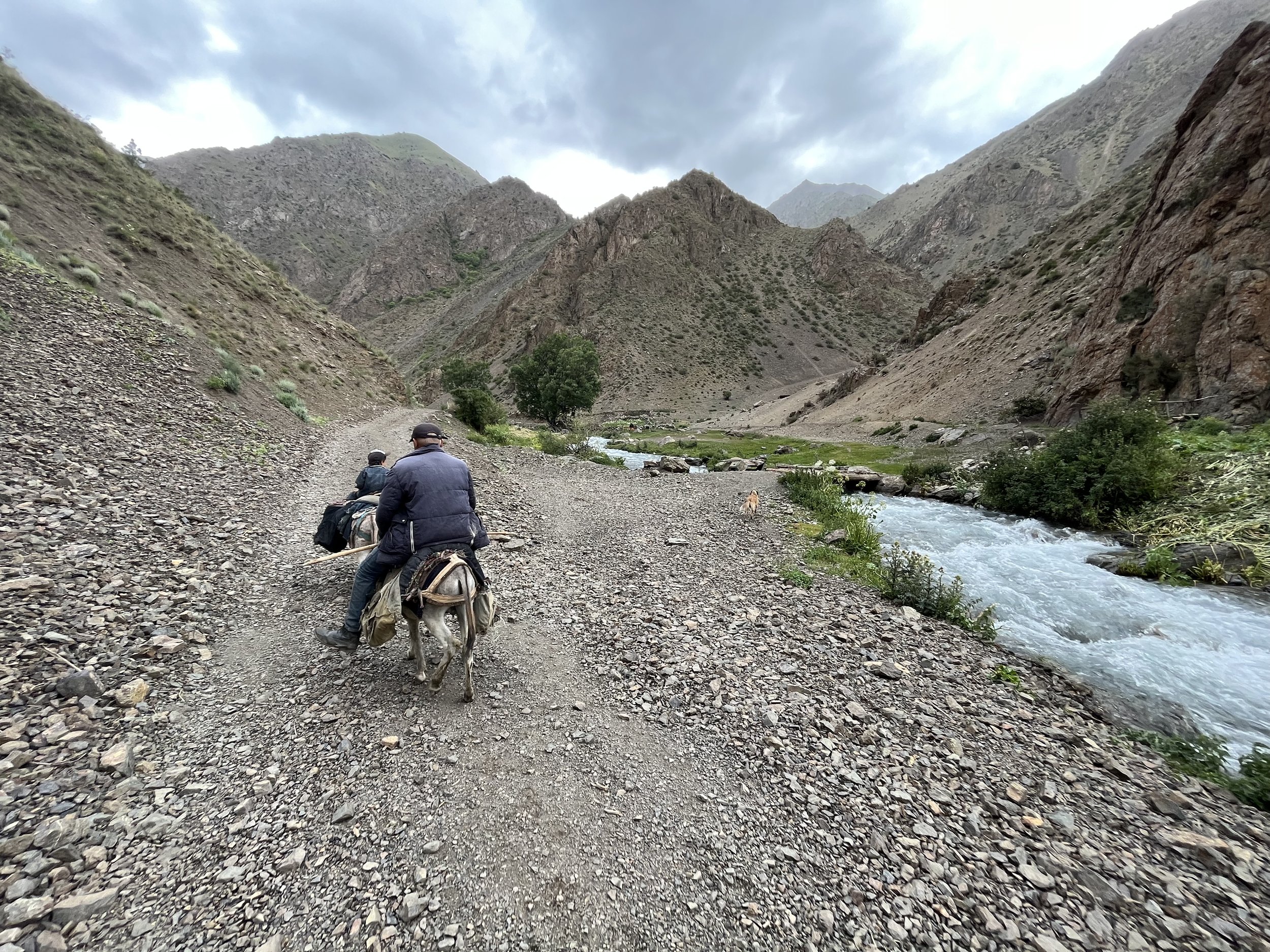
The next alternate is the obvious large loop to the south, starting from the twin villages of Dargh and Kazdon. I’ve done this entire alternate route, except for the 3545 meter pass (I went up and down the individual gorges on multiple trips from Dargh and Kazdon). It looks steep and loose, but there’s nothing to stop a person who is confident in off-trail terrain. Images below from that loop. This area set a personal record for me (worldwide) for most (sincere) invites per day for tea, a meal, a chat, and a place to sleep for the night.
Autumn side trips
The waypoints to the east (Jayi Bolo, Revut, Padask and Ti Shakh) can, in the spring, only be done as a trip straight up a gorge and then back down, retracing your exact route. They can’t be connected in the spring over the passes because there will still be too much snow remaining. The Jayi Bolo and Revut side trips are stages 29, 30 and 31 of the Pamir Trail (info and GPX files at the link). From 4:17 to the end of this video are those sections. Note that the Jayi Bolo and Jayi Poyon lakes in the late spring are half empty, making the trip less worth it in the early season.
For Padask, I have a trip report for that trek. You can combine Padask with Ti Shakh over the Surinovi Bolo Pass (another trip report). In the fall you will be able to connect these areas with the passes until the first snowfall. When the first snowfall comes in the fall is unpredictable, so before heading up to one of these side trips, take a look at the snow level on mountain slopes of the same altitude.
Do any of these side trips add anything unique to the overall route? If you can get as high as the viewpoint for the icefall glacier in Padask, then probably that side trip would qualify. Photo below by T. Rakshin (my photo of this view is from a cloudy day with part of the mountain obscured).

The waypoint farthest to the east was added to let potential explorers know that going east of this point requires a border zone permit (that only a tour company can arrange) and a guide. Even if it was free to visit, the area would be impossible in spring and summer due to high river crossings.
The waypoint next to the river labelled “Qalai Hisorak ruins“ is likely only of interest to people with a strong interest in history and in archeological sites that don’t show much beyond old ruined foundations. But the area has some great views. The photo below was taken on the road across the Zarafshon River from Qalai Hisorak. The ruins are on the flat area on the right side (the main ruins are one level up, just too high to see from this photo)

Resupplying and battery charging
The distances between homestays, guesthouses and hotels are not far enough to worry too much about managing batteries. A hiker who uses very little battery life will do fine with a 10,000mAh power bank, while a heavy user (photos, videos, music, internet) may want to consider a 20,000mAh power bank.
The short distances between villages, plus the numerous homestays, guesthouses and restaurants make for easy and light food carries. However, not every convenience store and small village food shop has a good selection of food. You may end up eating a lot of instant noodles and bread.
~~~~
Last updated: 28 February 2025